Richard L. Hoffman Trail
- 2.1 mi
- round trip
- 1,836 ft
- climb
- 3,567 ft
- high point
- Out and back
- route
- Mar–Nov
- best months
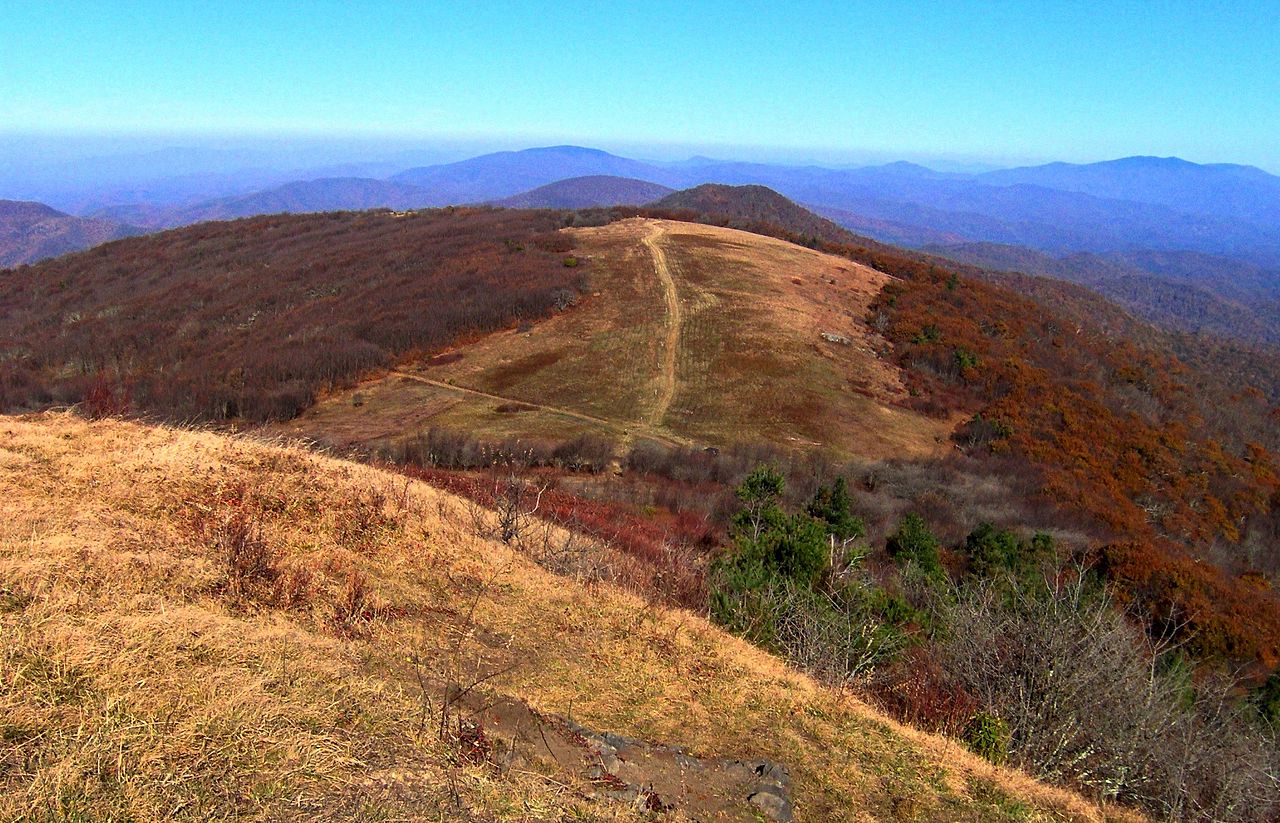
The Richard L. Hoffman Trail is a moderate out-and-back hike on the Town of Mars Hill Open Space, about 2.1 miles long and covering roughly 4.3 miles round trip. The trail climbs about 1,500 feet from its starting point at around 2,400 feet to a high of about 3,567 feet, and the steepest section comes near the 1.8-mile mark with a grade of about 27%. Late spring and early fall are the most comfortable times to go. Typical averages from a nearby weather station at Burnsville run highs around 73°F in May and 76°F in September, and that station sits lower than the trail, so expect temperatures on the summit to run a little cooler. The Green Trail starts just 0.1 mile away, and the Red and Blue trails are each within a mile. For time on the water, California Creek offers canoeing about 2.7 miles away.
Local outfitters
- French Broad Adventures9 mi away
- Nantahala Outdoor Center9 mi away
Not on Roamze yet. Their page has how to reach them.
- Green TrailHiking0.1 mi
- Red TrailHiking0.8 mi
- Blue TrailHiking0.9 mi
- California CreekCanoeing2.7 mi
- Bull CreekCanoeing3.5 mi
- Big Laurel CreekCanoeing5.1 mi
- Blue Ridge Environmental Defense League Nature TrailHiking7 mi
- Flat CreekCanoeing7.7 mi
Source: Roamze catalog (indexable pages within 10 miles, PostGIS distance)
 Wolf Laurel Nature TrailHiking · ~16 min drivePhoto: Will Thomas, CC BY-SA 3.0 (via Wikimedia Commons)
 Right LoopHiking · ~16 min drivePhoto: Janne Särkelä, CC BY-SA 2.0 (via Flickr)
 SnowballHiking · ~23 min drivePhoto: A. Duarte, CC BY-SA 2.0 (via Flickr)
- Anst - Appalachian RdHiking · ~24 min drive
 PerkinsHiking · ~22 min drivePhoto: Scott Teresi, CC BY-SA 2.0 (via Flickr)
 Bear PenHiking · ~23 min drivePhoto: pmuellr, CC BY 2.0 (via Flickr)
 Big ButtHiking · ~24 min drivePhoto: Scott Teresi, CC BY-SA 2.0 (via Flickr)
- Staire CreekHiking · ~23 min drivePhoto: Scott Teresi, CC BY-SA 2.0 (via Flickr)
 Craggy Pinnacle TrailHiking · ~24 min drivePhoto: A. Duarte, CC BY-SA 2.0 (via Flickr)
- Laurel RiverHiking · ~21 min drive
Best time to visit Richard L. Hoffman Trail
Best months: March–November. Best months have typical highs of 55–85 °F, lows of 30 °F or warmer (32 °F where the station doesn't record snow), at most one snowy day and no more than 12 wet days.
Jan
45° / 26°
Feb
49° / 29°
Mar
56° / 34°
Apr
66° / 42°
May
73° / 49°
Jun
80° / 58°
Jul
83° / 61°
Aug
81° / 60°
Sep
76° / 54°
Oct
67° / 42°
Nov
57° / 34°
Dec
48° / 28°
Typical high / low (°F) and days with rain or snow, 1991–2020. Measured at Burnsville Ag, NC, 17.1 mi away at 2,825 ft. The station sits about 700 ft lower than this place, so expect it a little cooler here. This station doesn't record snowfall. Source: NOAA NCEI U.S. Climate Normals 1991–2020.
Map and trail data © OpenStreetMap contributors
