Right Loop
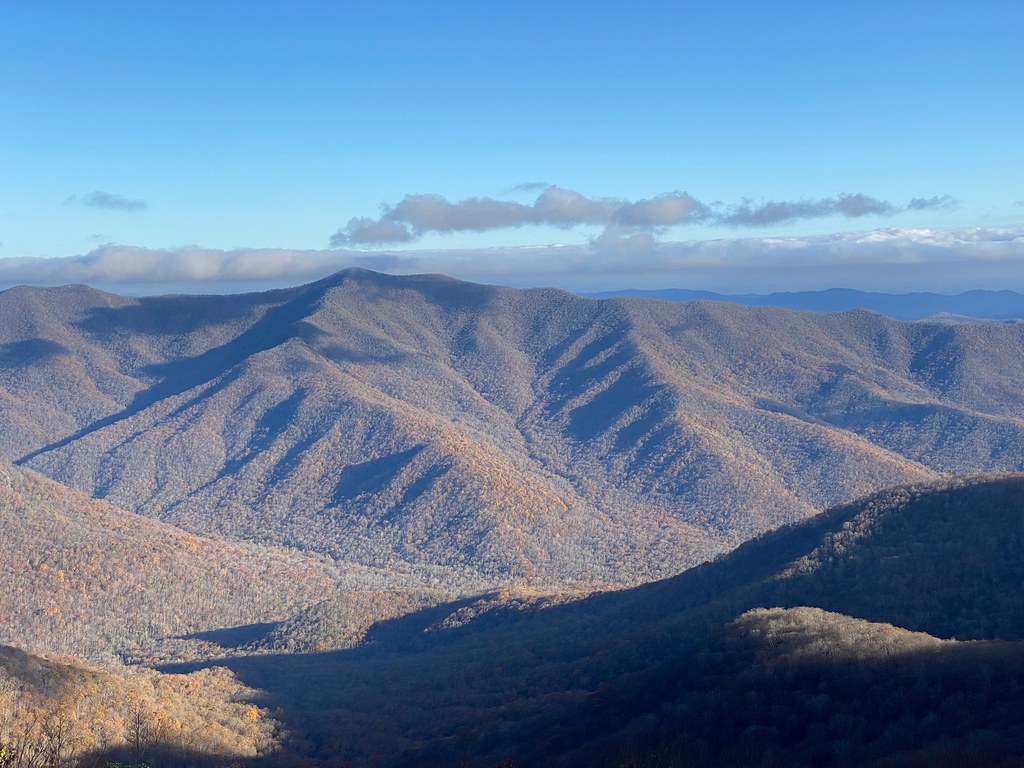
 Photo: Janne Särkelä, CC BY-SA 2.0 (via Flickr)
- 3.3 mi
- loop
- 742 ft
- climb
- 2,092 ft
- high point
- Loop
- route
- Apr, Aug–Oct
- best months
Clear at last check
Weather is good · OpenWeather · checked 14 h ago
Right Loop is a 3.3-mile loop hike in Buncombe County Park, on county land in western North Carolina. The trail rises about 740 feet from a starting point near 1,927 feet to a high point of about 2,092 feet, and it drops the same amount on the way back, so the total elevation change is about 740 feet one way. The climb is steady rather than steep, and the steepest section comes at about 2.6 miles in, where the grade reaches about 14%. That makes the loop a relaxed outing for an afternoon on foot. The trail is rated easy, and the trip should take about 1.5 hours. For comfortable weather, aim for late spring or early fall. Typical averages from a nearby weather station in Marshall put May highs around 76°F and September highs around 79°F, with September and October also seeing the fewest wet days of the year. M3 Loop is just 0.3 miles away, and Flat Creek offers canoeing about 3.8 miles off. The Blue Ridge Environmental Defense League Nature Trail and Track Trail are both within about 6 miles.
Local outfitters
- Nantahala Outdoor Center10 mi away
- French Broad Adventures10 mi away
Not on Roamze yet. Their page has how to reach them.
- M3 LoopHiking0.3 mi
- Flat CreekCanoeing3.8 mi
- Blue Ridge Environmental Defense League Nature TrailHiking5.5 mi
- Track TrailHiking6.1 mi
- Bull CreekCanoeing6.7 mi
- Richmond Hill TrailsHiking7.3 mi
- Newfound CreekCanoeing7.3 mi
- Reems CreekCanoeing8.1 mi
Source: Roamze catalog (indexable pages within 10 miles, PostGIS distance)
 Bull Creek TrHiking · ~20 min drivePhoto: Clexow, CC BY-SA 2.0 (via Flickr)
 SnowballHiking · ~23 min drivePhoto: A. Duarte, CC BY-SA 2.0 (via Flickr)
- Richmond Hill TrailsHiking · ~13 min drive
- Mountains-to-Sea TrailHiking · ~21 min drive
 Craggy Pinnacle TrailHiking · ~25 min drivePhoto: A. Duarte, CC BY-SA 2.0 (via Flickr)
- Mst - Appalachian RdHiking · ~18 min drive
- Richard L. Hoffman TrailHiking · ~16 min drive
 Reese TrailHiking · ~26 min drivePhoto: daveynin, CC BY 2.0 (via Flickr)
- North BoundaryHiking · ~25 min drive
- Blue TrailHiking · ~17 min drive
Best time to visit Right Loop
Best months: April and August–October. Best months have typical highs of 55–85 °F, lows of 30 °F or warmer (32 °F where the station doesn't record snow), at most one snowy day and no more than 12 wet days.
Jan
47° / 24°
13 wet
Feb
51° / 26°
13 wet
Mar
59° / 31°
13 wet
Apr
69° / 38°
12 wet
May
76° / 48°
13 wet
Jun
82° / 57°
13 wet
Jul
85° / 61°
13 wet
Aug
84° / 60°
12 wet
Sep
79° / 54°
9 wet
Oct
70° / 41°
9 wet
Nov
59° / 30°
10 wet
Dec
49° / 26°
12 wet
Typical high / low (°F) and days with rain or snow, 1991–2020. Measured at Marshall, NC, 6.1 mi away at 1,920 ft. This station doesn't record snowfall. Source: NOAA NCEI U.S. Climate Normals 1991–2020.
Map and trail data © OpenStreetMap contributors
