Green Trail
- 0.3 mi
- round trip
- 274 ft
- climb
- 2,658 ft
- high point
- Out and back
- route
- Apr, Aug–Oct
- best months
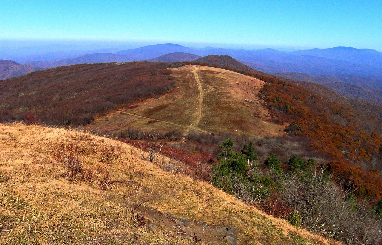
Green Trail is an easy out-and-back hike of about 0.6 miles on the Town of Mars Hill Open Space, roughly 0.3 miles from the center of Mars Hill, North Carolina. The trail rises to a high point of about 2,658 feet, with a total climb of about 274 feet for the round trip, and the steepest stretch comes within the first third of the route at a grade of about 19%. The most comfortable months for a visit are typically October and May, when typical highs run around 70°F and 76°F and wet days are fewer than in summer and winter. Those figures are typical averages from the Marshall, NC weather station, about 7 miles away at a lower elevation, so temperatures on the trail run a bit cooler. The Richard L. Hoffman Trail starts about 0.1 mile away, and the Red Trail and Blue Trail are each within a mile. For paddling, California Creek is about 2.7 miles off.
Local outfitters
- French Broad Adventures9 mi away
- Nantahala Outdoor Center9 mi away
Not on Roamze yet. Their page has how to reach them.
- Richard L. Hoffman TrailHiking0.1 mi
- Red TrailHiking0.7 mi
- Blue TrailHiking0.8 mi
- California CreekCanoeing2.7 mi
- Bull CreekCanoeing3.6 mi
- Big Laurel CreekCanoeing5 mi
- Blue Ridge Environmental Defense League Nature TrailHiking7 mi
- Flat CreekCanoeing7.9 mi
Source: Roamze catalog (indexable pages within 10 miles, PostGIS distance)
 Wolf Laurel Nature TrailHiking · ~16 min drivePhoto: Will Thomas, CC BY-SA 3.0 (via Wikimedia Commons)
 Right LoopHiking · ~16 min drivePhoto: Janne Särkelä, CC BY-SA 2.0 (via Flickr)
 SnowballHiking · ~23 min drivePhoto: A. Duarte, CC BY-SA 2.0 (via Flickr)
- Anst - Appalachian RdHiking · ~24 min drive
 Staire CreekHiking · ~23 min drivePhoto: Scott Teresi, CC BY-SA 2.0 (via Flickr)
 Bear PenHiking · ~23 min drivePhoto: pmuellr, CC BY 2.0 (via Flickr)
- Laurel RiverHiking · ~21 min drive
- Stair CreekHiking · ~23 min drivePhoto: Scott Teresi, CC BY-SA 2.0 (via Flickr)
- Red TrailHiking · ~1 min drive
- Hickey ForkHiking · ~22 min drive
Best time to visit Green Trail
Best months: April and August–October. Best months have typical highs of 55–85 °F, lows of 30 °F or warmer (32 °F where the station doesn't record snow), at most one snowy day and no more than 12 wet days.
Jan
47° / 24°
13 wet
Feb
51° / 26°
13 wet
Mar
59° / 31°
13 wet
Apr
69° / 38°
12 wet
May
76° / 48°
13 wet
Jun
82° / 57°
13 wet
Jul
85° / 61°
13 wet
Aug
84° / 60°
12 wet
Sep
79° / 54°
9 wet
Oct
70° / 41°
9 wet
Nov
59° / 30°
10 wet
Dec
49° / 26°
12 wet
Typical high / low (°F) and days with rain or snow, 1991–2020. Measured at Marshall, NC, 6.6 mi away at 1,920 ft. The station sits about 700 ft lower than this place, so expect it a little cooler here. This station doesn't record snowfall. Source: NOAA NCEI U.S. Climate Normals 1991–2020.
Map and trail data © OpenStreetMap contributors
