Blue Trail
- 1.1 mi
- round trip
- 1,426 ft
- climb
- 3,441 ft
- high point
- Out and back
- route
- Apr, Aug–Oct
- best months
Clear today
Weather is good · OpenWeather · checked 10 h ago
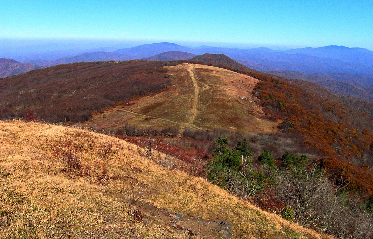
Blue Trail is a moderate out-and-back hike in North Carolina, set within an NC Land and Water Fund Project. The route is about 2.2 miles long, with a total elevation gain of 1,426 feet, and it reaches a high point of 3,441 feet. The trail starts at about 3,355 feet and ends at a similar elevation, so the climb is roughly balanced with the descent. The trail is rolling, and the steepest stretch comes early, around 0.35 miles in, where the grade reaches about 25%. The most comfortable time to go is late spring or early fall. Typical averages from a nearby weather station in Marshall, NC, show May highs around 76°F and October highs around 70°F, with September and October seeing the fewest wet days of the year. That station sits well below the trail, so temperatures on the higher ground run cooler. The hike takes about 1.5 hours. The Red Trail lies just 0.2 miles away, and the Green Trail and Richard L. Hoffman Trail are both within a mile. Paddlers can find California Creek about 3 miles off.
Local outfitters
- French Broad Adventures9 mi away
- Nantahala Outdoor Center9 mi away
Not on Roamze yet. Their page has how to reach them.
- Red TrailHiking0.2 mi
- Green TrailHiking0.8 mi
- Richard L. Hoffman TrailHiking0.9 mi
- California CreekCanoeing3.1 mi
- Bull CreekCanoeing3.5 mi
- Big Laurel CreekCanoeing4.5 mi
- Blue Ridge Environmental Defense League Nature TrailHiking6.8 mi
- Flat CreekCanoeing8.4 mi
Source: Roamze catalog (indexable pages within 10 miles, PostGIS distance)
 Wolf Laurel Nature TrailHiking · ~15 min drivePhoto: Will Thomas, CC BY-SA 3.0 (via Wikimedia Commons)
 Right LoopHiking · ~17 min drivePhoto: Janne Särkelä, CC BY-SA 2.0 (via Flickr)
 Pump Gap LoopHiking · ~24 min drivePhoto: Hot Springs Tourism & Welcome Center, CC BY-SA 4.0 (via Wikimedia Commons)
- Anst - Appalachian RdHiking · ~22 min drive
 Staire CreekHiking · ~24 min drivePhoto: Scott Teresi, CC BY-SA 2.0 (via Flickr)
 Bear PenHiking · ~24 min drivePhoto: pmuellr, CC BY 2.0 (via Flickr)
- Laurel RiverHiking · ~19 min drive
- Stair CreekHiking · ~24 min drivePhoto: Scott Teresi, CC BY-SA 2.0 (via Flickr)
- Red TrailHiking · Next door
- Hickey ForkHiking · ~21 min drive
Best time to visit Blue Trail
Best months: April and August–October. Best months have typical highs of 55–85 °F, lows of 30 °F or warmer (32 °F where the station doesn't record snow), at most one snowy day and no more than 12 wet days.
Jan
47° / 24°
13 wet
Feb
51° / 26°
13 wet
Mar
59° / 31°
13 wet
Apr
69° / 38°
12 wet
May
76° / 48°
13 wet
Jun
82° / 57°
13 wet
Jul
85° / 61°
13 wet
Aug
84° / 60°
12 wet
Sep
79° / 54°
9 wet
Oct
70° / 41°
9 wet
Nov
59° / 30°
10 wet
Dec
49° / 26°
12 wet
Typical high / low (°F) and days with rain or snow, 1991–2020. Measured at Marshall, NC, 6.4 mi away at 1,920 ft. The station sits about 1,500 ft lower than this place, so expect it a little cooler here. This station doesn't record snowfall. Source: NOAA NCEI U.S. Climate Normals 1991–2020.
Map and trail data © OpenStreetMap contributors
