Gilbert Yager Trail
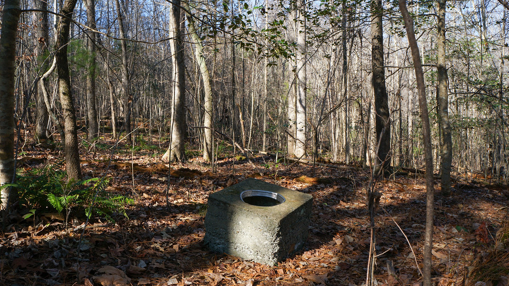 Photo: pmuellr, CC BY 2.0 (via Flickr)
- 0.8 mi
- loop
- 124 ft
- climb
- 420 ft
- high point
- Loop
- route
- Feb–May, Sep–Dec
- best months
Clear at last check
Weather is good · OpenWeather · checked 21 h ago
The Gilbert Yager Trail is a short loop in North Carolina, about 0.79 miles long and rated easy. It starts and ends at roughly 400 feet, with a high point of about 420 feet and a total climb of 124 feet. The trail is a gentle walk with a middle profile, and the steepest part comes at about 0.42 miles, where the grade reaches 6%. The nearest town is Asbury, about 2.4 miles away. Spring and fall are the most comfortable times to go. Typical averages from a nearby weather station run from highs in the mid-70s in October to the low 80s in May, while July highs average around 90 degrees. The trail is close to several others. The White Pines Trail is 0.2 miles away, the River Trail is 0.3 miles away, and the Rocky Bluffs Trail and Deep Bluffs Trail are each about 0.4 miles off.
Local outfitters
- Haw River Trail31 mi away
Not on Roamze yet. Their page has how to reach them.
- White Pines TrailHikingPhoto: pmuellr, CC BY 2.0 (via Flickr)0.2 mi
- River TrailHikingPhoto: pmuellr, CC BY 2.0 (via Flickr)0.3 mi
 Rocky Bluffs TrailHikingPhoto: bobistraveling, CC BY 2.0 (via Flickr)0.4 mi
 Deep Bluffs TrailHikingPhoto: pmuellr, CC BY 2.0 (via Flickr)0.4 mi
- Lick CreekCanoeing6.6 mi
- Upper TierRock climbing6.8 mi
- Hound EarsRock climbing6.8 mi
- Desperado WallRock climbing6.8 mi
Source: Roamze catalog (indexable pages within 10 miles, PostGIS distance)
- White Pines TrailHiking · Next doorPhoto: pmuellr, CC BY 2.0 (via Flickr)
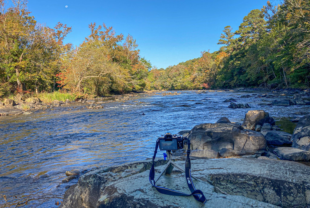 Lower Haw River TrailHiking · ~16 min drivePhoto: pmuellr, CC BY 2.0 (via Flickr)
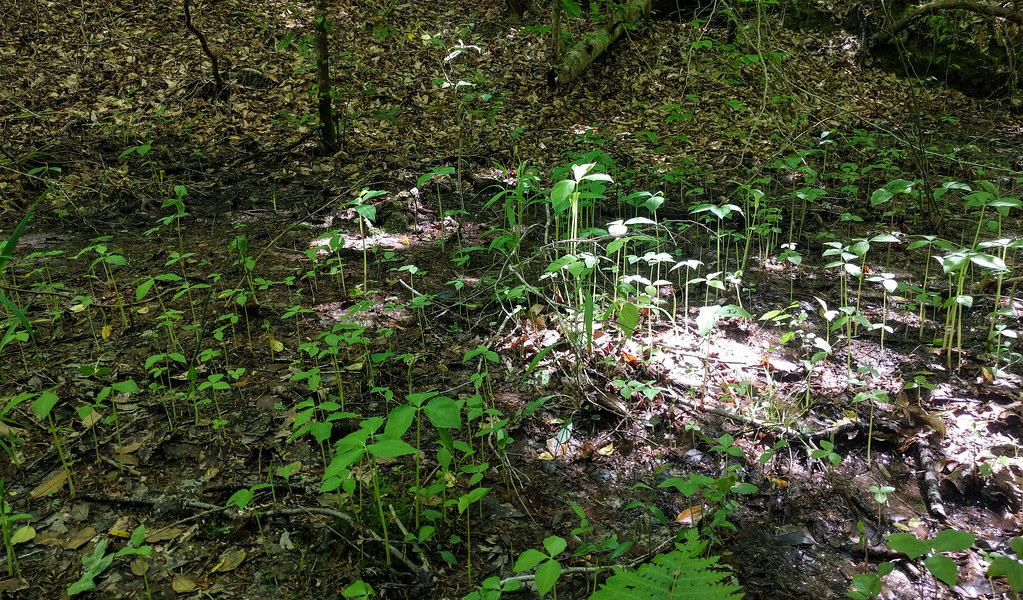 Campbell Creek Loop TrailHiking · ~28 min drivePhoto: npdoty, CC BY 2.0 (via Flickr)
- River TrailHiking · Next doorPhoto: pmuellr, CC BY 2.0 (via Flickr)
- Governors CreekHiking · ~29 min drive
- Rocky Bluffs TrailHiking · Next doorPhoto: bobistraveling, CC BY 2.0 (via Flickr)
- Deep Bluffs TrailHiking · Next doorPhoto: pmuellr, CC BY 2.0 (via Flickr)
 Old Seaforth Rd trailHiking · ~13 min drivePhoto: pmuellr, CC BY 2.0 (via Flickr)
 Blue TrailHiking · ~15 min drivePhoto: pmuellr, CC BY 2.0 (via Flickr)
 Red TrailHiking · ~15 min drivePhoto: pmuellr, CC BY 2.0 (via Flickr)
Best time to visit Gilbert Yager Trail
Best months: February–May and September–December. Best months have typical highs of 55–85 °F, lows of 30 °F or warmer (32 °F where the station doesn't record snow), at most one snowy day and no more than 12 wet days.
Jan
53° / 31°
9 wet
Feb
57° / 33°
8 wet
Mar
65° / 39°
9 wet
Apr
75° / 47°
9 wet
May
81° / 56°
9 wet
Jun
87° / 64°
9 wet
Jul
90° / 69°
10 wet
Aug
88° / 67°
10 wet
Sep
83° / 61°
7 wet
Oct
74° / 49°
7 wet
Nov
63° / 38°
7 wet
Dec
55° / 33°
9 wet
Typical high / low (°F) and days with rain or snow, 1991–2020. Measured at Sanford 8 Ne, NC, 8.1 mi away at 262 ft. This station doesn't record snowfall. Source: NOAA NCEI U.S. Climate Normals 1991–2020.
Map and trail data © OpenStreetMap contributors
