Governors Creek
- 5.3 mi
- loop
- 593 ft
- climb
- 537 ft
- high point
- Loop
- route
- Feb–May, Sep–Dec
- best months
Governors Creek is a moderate loop hike in North Carolina, about 1.6 miles from the town of White Hill. The route is roughly 5.3 miles long, with a total climb of about 593 feet and a steady grade that makes the trail feel a little longer than its distance suggests. The loop starts and ends at nearly the same elevation, around 484 feet, and the steepest stretch comes at about 2.4 miles in, where the grade reaches about 7%. Spring and fall are the most comfortable times to go. Typical averages from a nearby weather station in Carthage show October highs around 73°F with lows near 49°F, and April is similar at about 73°F by day and 47°F at night. July is the warmest month, with highs around 90°F. Paddlers can pair the hike with time on the water. Pocket Creek, a canoeing spot, is about 5.7 miles away, and Crane Creek is about 8.5 miles away.
Local outfitters
- Haw River Trail43 mi away
Not on Roamze yet. Their page has how to reach them.
Source: Roamze catalog (indexable pages within 10 miles, PostGIS distance)
 Round Timber TrailHiking · ~28 min drivePhoto: bobistraveling, CC BY 2.0 (via Flickr)
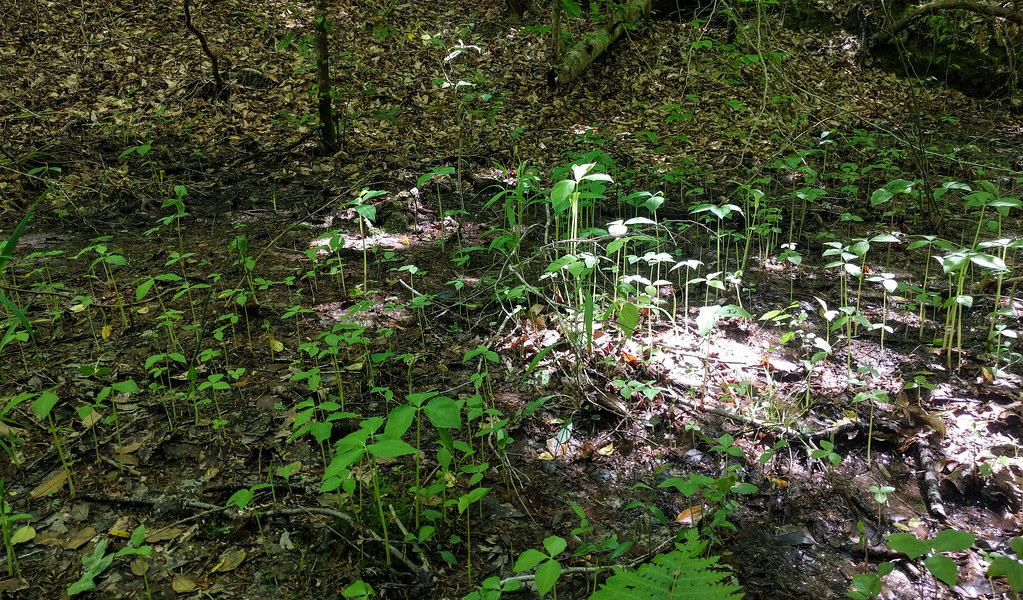 Campbell Creek Loop TrailHiking · ~37 min drivePhoto: npdoty, CC BY 2.0 (via Flickr)
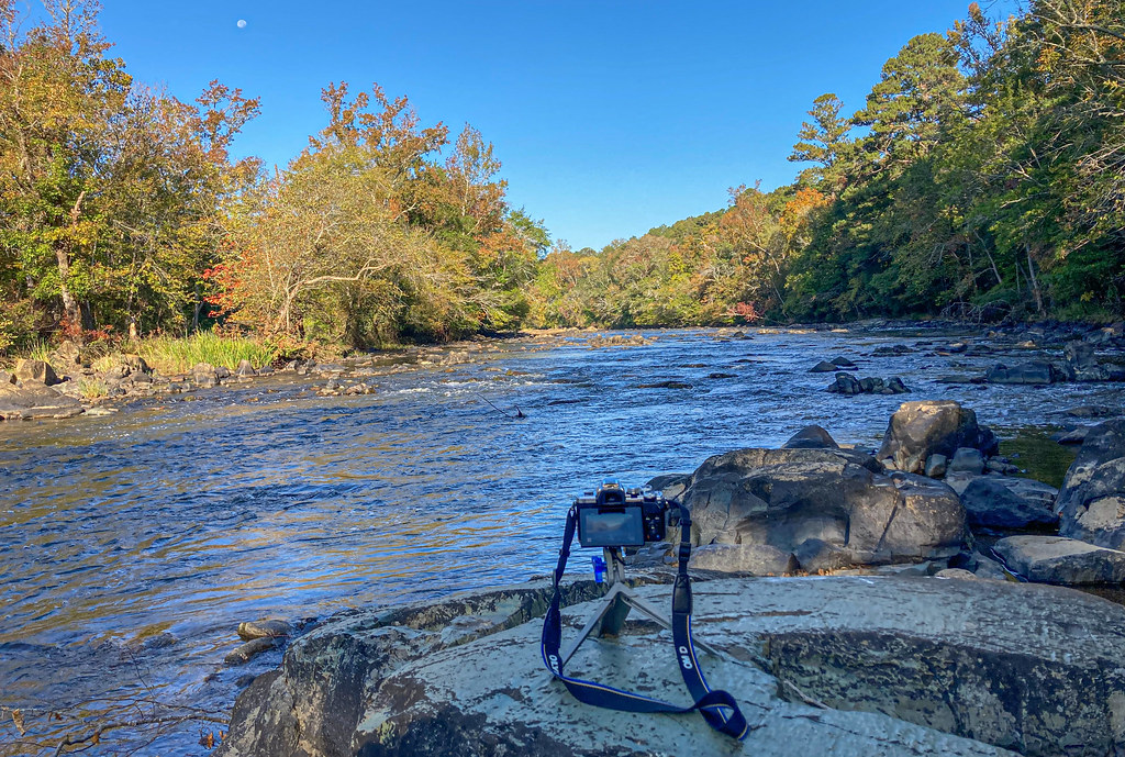 Lower Haw River TrailHiking · ~45 min drivePhoto: pmuellr, CC BY 2.0 (via Flickr)
- All American TrailHiking · ~40 min drive
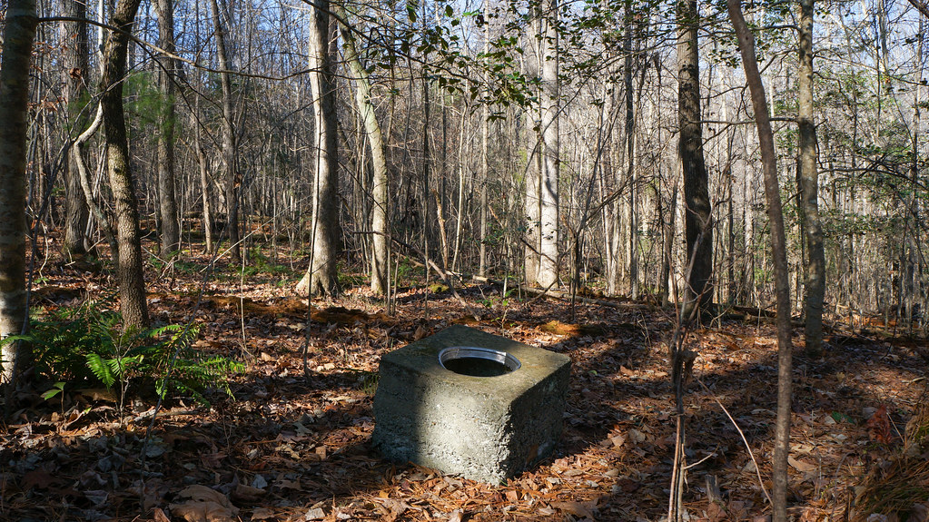 Gilbert Yager TrailHiking · ~29 min drivePhoto: pmuellr, CC BY 2.0 (via Flickr)
- Hoke County Community Forest TrailHiking · ~46 min drive
- Calloway Forest Preserve TrailHiking · ~43 min drive
 Rocky Bluffs TrailHiking · ~29 min drivePhoto: bobistraveling, CC BY 2.0 (via Flickr)
 Pine Island TrailHiking · ~29 min drivePhoto: bobistraveling, CC BY 2.0 (via Flickr)
- White Pines TrailHiking · ~29 min drivePhoto: pmuellr, CC BY 2.0 (via Flickr)
Best time to visit Governors Creek
Best months: February–May and September–December. Best months have typical highs of 55–85 °F, lows of 30 °F or warmer (32 °F where the station doesn't record snow), at most one snowy day and no more than 12 wet days.
Jan
53° / 31°
8 wet
Feb
56° / 32°
7 wet
Mar
65° / 40°
8 wet
Apr
73° / 47°
7 wet
May
80° / 56°
7 wet
Jun
87° / 65°
8 wet
Jul
90° / 69°
9 wet
Aug
88° / 67°
8 wet
Sep
83° / 61°
7 wet
Oct
73° / 49°
7 wet
Nov
64° / 39°
6 wet
Dec
55° / 33°
8 wet
Typical high / low (°F) and days with rain or snow, 1991–2020. Measured at Carthage Wtp, NC, 7.4 mi away at 440 ft. Source: NOAA NCEI U.S. Climate Normals 1991–2020.
Map and trail data © OpenStreetMap contributors
