Old Seaforth Rd trail
 Photo: pmuellr, CC BY 2.0 (via Flickr)
- 0.4 mi
- round trip
- 134 ft
- climb
- 314 ft
- high point
- Out and back
- route
- Mar–May, Sep–Nov
- best months
Old Seaforth Rd trail is a short, easy hike on B. Everett Jordan Lake in North Carolina, managed by the Army Corps of Engineers. The route is an out-and-back of about 0.76 miles, with a total elevation gain of 134 feet. The trail starts at about 284 feet and reaches a high point of 314 feet before returning to the starting level. The steepest stretch comes at about 0.32 miles in, with a grade of 12 percent. Spring and fall are the most comfortable times to go. Typical averages from a nearby weather station show October highs around 73°F with lows near 49°F, and April is similar at about 73°F by day and 47°F at night. July is the warmest month, with highs around 90°F. The hike takes about half an hour. It sits close to several other trails and climbing areas. Haw River Boulders and the Blue Trail are both about 1.8 miles away, the Red Trail is about 2.4 miles off, and Crosswinds Campgrounds is about 6.1 miles away.
Local outfitters
- Haw River Trail27 mi away
Not on Roamze yet. Their page has how to reach them.
- Haw River BouldersRock climbing1.8 mi
 Blue TrailHikingPhoto: pmuellr, CC BY 2.0 (via Flickr)1.8 mi
 Red TrailHikingPhoto: pmuellr, CC BY 2.0 (via Flickr)2.4 mi
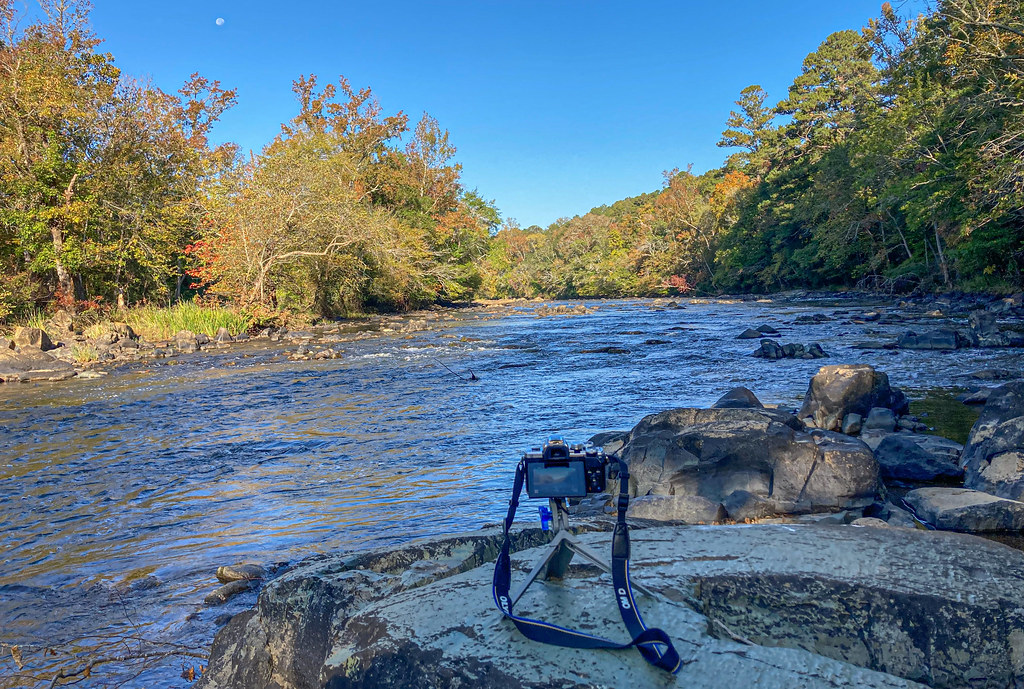 Lower Haw River TrailHikingPhoto: pmuellr, CC BY 2.0 (via Flickr)3.1 mi
 Poplar TrailHikingPhoto: Gerry Dincher, CC BY-SA 2.0 (via Flickr)4.6 mi
- THANKS - Trail for Health, Art, and Nature for Kids to SeniorsHiking5.6 mi
- Wildlife TrailHiking5.7 mi
- Crosswinds CampgroundsCamping6.1 mi
Source: Roamze catalog (indexable pages within 10 miles, PostGIS distance)
- Blue TrailHiking · ~3 min drivePhoto: pmuellr, CC BY 2.0 (via Flickr)
- Lower Haw River TrailHiking · ~5 min drivePhoto: pmuellr, CC BY 2.0 (via Flickr)
- Red TrailHiking · ~4 min drivePhoto: pmuellr, CC BY 2.0 (via Flickr)
- Poplar TrailHiking · ~8 min drivePhoto: Gerry Dincher, CC BY-SA 2.0 (via Flickr)
- Poplar TrailHiking · ~8 min drivePhoto: Gerry Dincher, CC BY-SA 2.0 (via Flickr)
 Deep Bluffs TrailHiking · ~12 min drivePhoto: pmuellr, CC BY 2.0 (via Flickr)
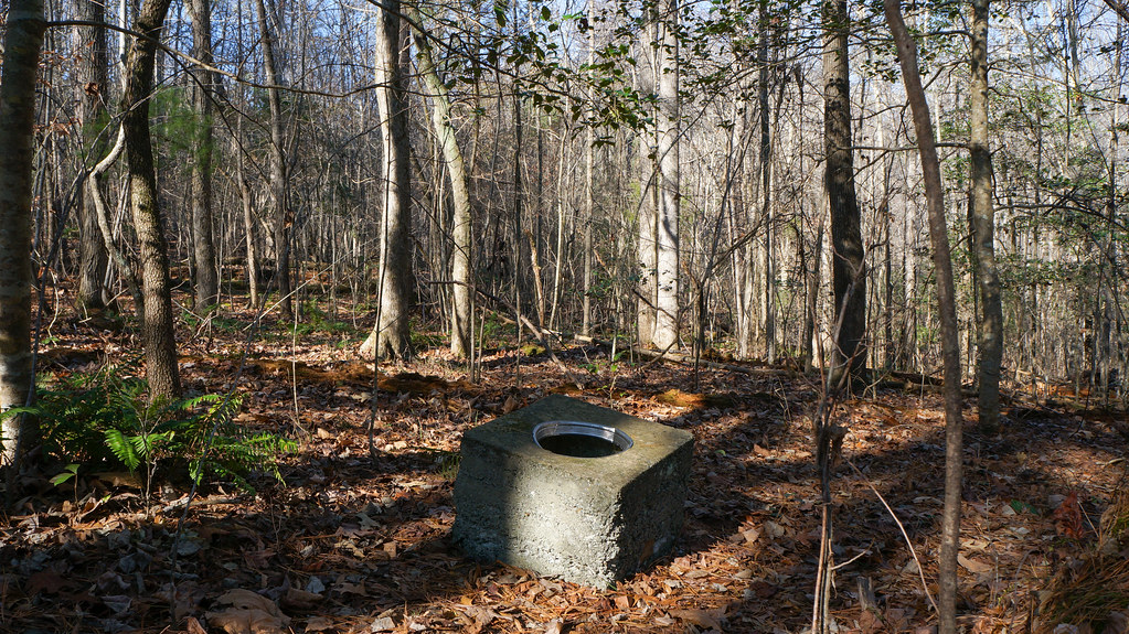 River TrailHiking · ~12 min drivePhoto: pmuellr, CC BY 2.0 (via Flickr)
- White Pines TrailHiking · ~12 min drivePhoto: pmuellr, CC BY 2.0 (via Flickr)
 Rocky Bluffs TrailHiking · ~13 min drivePhoto: bobistraveling, CC BY 2.0 (via Flickr)
- Gilbert Yager TrailHiking · ~13 min drivePhoto: pmuellr, CC BY 2.0 (via Flickr)
Best time to visit Old Seaforth Rd trail
Best months: March–May and September–November. Best months have typical highs of 55–85 °F, lows of 30 °F or warmer (32 °F where the station doesn't record snow), at most one snowy day and no more than 12 wet days.
Jan
51° / 30°
Feb
55° / 31°
Mar
63° / 38°
Apr
73° / 47°
May
80° / 58°
Jun
86° / 65°
Jul
90° / 71°
Aug
88° / 69°
Sep
83° / 62°
Oct
73° / 49°
Nov
62° / 38°
Dec
54° / 32°
Typical high / low (°F) and days with rain or snow, 1991–2020. Measured at Chatham Wtp, NC, 5.4 mi away at 308 ft. This station doesn't record snowfall. Source: NOAA NCEI U.S. Climate Normals 1991–2020.
Map and trail data © OpenStreetMap contributors
