Appletree
- 4.5 mi
- round trip
- 1,710 ft
- climb
- 4,399 ft
- high point
- Out and back
- route
Is Appletree open right now?
Closure in the area
There's a closure order in National Forests in North Carolina. It doesn't name Appletree, so check the source for the area it covers (2 listed).
Maple Sally Road Closure
Agency closure covering National Forests in North Carolina · USFS · National Forests in North Carolina
Table Rock Road construction starts Nov. 2, 2026
Agency closure covering National Forests in North Carolina · USFS · National Forests in North Carolina
Temporary Closure - The Elk Falls Trail
Agency alert covering National Forests in North Carolina · USFS · National Forests in North Carolina
Rainbow Springs Road closed for reconstruction
Agency alert covering National Forests in North Carolina · USFS · National Forests in North Carolina
Siddie Fields Day Use Area closed for improvements
Agency alert covering National Forests in North Carolina · USFS · National Forests in North Carolina
As of · Source: USFS · National Forests in North Carolina. Agencies don't list every closure — check before you go.
Appletree is a moderate out-and-back hike in the Nantahala Ranger District of the National Forests in North Carolina, managed by the Forest Service. The trail is about 4.5 miles long, with a total elevation gain of 1,710 feet, and it rises from a starting point near 2,779 feet to a high point of about 4,399 feet. The steepest stretch comes at about 1.7 miles in, where the grade reaches 31 percent. The route is natural-surfaced and allows bikes, so it works for hikers and riders alike. It is open year-round, and the trip takes about 2.5 hours. Junaluska Gap lies just 0.4 miles away, and Laurel Branch and Diamond Valley are both within about a mile and a half. For an overnight stay, Nantahala Lake Dispersed Camping Site - Lake Acces is about 4.1 miles off.
Local outfitters
- GSM Outfitters34 mi away
- Wildwater White Water Rafting & Zipline Canopy Tours38 mi away
Not on Roamze yet. Their page has how to reach them.
- Junaluska GapHiking0.4 mi
- Laurel BranchHiking1.1 mi
- Nantahala National ForestRiver fishing1.2 mi
- Diamond ValleyHiking1.4 mi
- Bluegrass TrailHiking1.5 mi
- Nantahala Lake Dispersed Camping Site - Lake AccesCamping4.1 mi
- Nantahala RiverRiver fishing5.3 mi
- Valley RiverCanoeing6.4 mi
Source: Roamze catalog (indexable pages within 10 miles, PostGIS distance)
 Bartram Trail ExtensionHiking · ~6 min drivePhoto: gary_leavens, CC BY-SA 2.0 (via Wikimedia Commons)
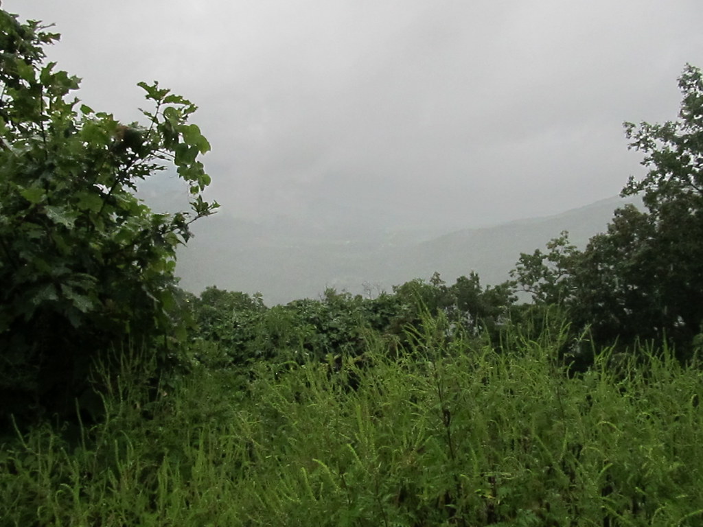 Chunky Gal TrailHiking · ~19 min drivePhoto: Ken Lund, CC BY-SA 2.0 (via Flickr)
- Laurel BranchHiking · ~2 min drive
- Stecoah Gap TrailHiking · ~17 min drive
- Junaluska GapHiking · Next door
- Nantahala River Bike TrailHiking · ~6 min drivePhoto: gary_leavens, CC BY-SA 2.0 (via Wikimedia Commons)
- Siler Bald ShelterHiking · ~13 min drive
- Wine Springs LoopHiking · ~7 min drive
- Diamond ValleyHiking · ~2 min drive
- Far Bald SpringsHiking · ~13 min drive
