Bluegrass Trail
- 0.3 mi
- round trip
- 338 ft
- climb
- 3,211 ft
- high point
- Out and back
- route
- Mar–Nov
- best months
Is Bluegrass Trail open right now?
Closure in the area
There's a closure order in National Forests in North Carolina. It doesn't name Bluegrass Trail, so check the source for the area it covers (2 listed).
Maple Sally Road Closure
Agency closure covering National Forests in North Carolina · USFS · National Forests in North Carolina
Table Rock Road construction starts Nov. 2, 2026
Agency closure covering National Forests in North Carolina · USFS · National Forests in North Carolina
Pisgah National Forest Begins Removing Hazardous Fuel Left by Helene via Helicopters
Agency alert covering National Forests in North Carolina · USFS · National Forests in North Carolina
Temporary Closure - The Elk Falls Trail
Agency alert covering National Forests in North Carolina · USFS · National Forests in North Carolina
Rainbow Springs Road closed for reconstruction
Agency alert covering National Forests in North Carolina · USFS · National Forests in North Carolina
As of · Source: USFS · National Forests in North Carolina. Agencies don't list every closure — check before you go.
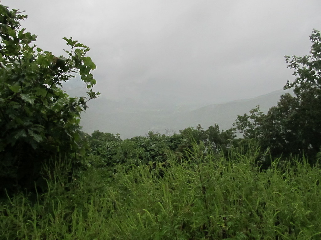
Bluegrass Trail is a short, easy out-and-back hike in the Nantahala Ranger District of the National Forests in North Carolina. The trail starts and ends within a fraction of a mile of each other, with a total length of about 0.6 miles and a round-trip elevation gain of 338 feet. The route rises to about 3,211 feet, with the steepest stretch near the start, where the grade reaches 20%. Late spring and early fall are the most comfortable times to go. Typical averages from a nearby weather station run from highs in the mid-70s and lows around 51°F in May to highs near 78°F and lows around 56°F in September. That station sits roughly 880 feet lower than the trail's high point, so temperatures on the trail run cooler. The trip takes about half an hour, and the trail makes an easy add-on to a day spent exploring the surrounding area. Nantahala National Forest's river fishing is about 0.9 miles away, and the Appletree and Junaluska Gap hikes lie within 2 miles. Nantahala Lake Dispersed Camping Site - Lake Acces is about 3 miles off for those planning an overnight stay.
Local outfitters
- GSM Outfitters36 mi away
- Wildwater White Water Rafting & Zipline Canopy Tours37 mi away
Not on Roamze yet. Their page has how to reach them.
- Nantahala National ForestRiver fishing0.9 mi
- AppletreeHiking1.5 mi
- Junaluska GapHiking1.8 mi
- Diamond ValleyHiking2.1 mi
- Laurel BranchHiking2.3 mi
- Nantahala Lake Dispersed Camping Site - Lake AccesCamping3.1 mi
- Nantahala RiverRiver fishing6.6 mi
- Valley RiverCanoeing7.1 mi
Source: Roamze catalog (indexable pages within 10 miles, PostGIS distance)
 Chunky Gal TrailHiking · ~17 min drivePhoto: Ken Lund, CC BY-SA 2.0 (via Flickr)
 Bartram Trail ExtensionHiking · ~9 min drivePhoto: gary_leavens, CC BY-SA 2.0 (via Wikimedia Commons)
- AppletreeHiking · ~3 min drive
- Stecoah Gap TrailHiking · ~19 min drive
- Nantahala River Bike TrailHiking · ~8 min drivePhoto: gary_leavens, CC BY-SA 2.0 (via Wikimedia Commons)
- Junaluska GapHiking · ~3 min drive
- Laurel BranchHiking · ~4 min drive
- Diamond ValleyHiking · ~4 min drive
- Wine Springs LoopHiking · ~5 min drive
- Siler Bald ShelterHiking · ~10 min drive
Also worth it near here
Best time to visit Bluegrass Trail
Best months: March–November. Best months have typical highs of 55–85 °F, lows of 30 °F or warmer (32 °F where the station doesn't record snow), at most one snowy day and no more than 12 wet days.
Jan
45° / 25°
Feb
50° / 28°
Mar
58° / 35°
Apr
68° / 43°
May
75° / 51°
Jun
79° / 59°
Jul
83° / 62°
Aug
82° / 61°
Sep
78° / 56°
Oct
68° / 45°
Nov
58° / 34°
Dec
48° / 29°
Typical high / low (°F) and days with rain or snow, 1991–2020. Measured at Robbinsville Ag 5 Ne, NC, 12 mi away at 2,330 ft. The station sits about 900 ft lower than this place, so expect it a little cooler here. This station doesn't record snowfall. Source: NOAA NCEI U.S. Climate Normals 1991–2020.
Map and trail data © OpenStreetMap contributors
