Lillypad Pond campsite
Campground
Campground · 4.5 mi from the trail
West River Trail is a 3.5-mile point-to-point hike in New York, about 0.7 miles from the village of Saint Huberts. It's an easy route with a total elevation gain of 408 feet, so it works well as a short outing or a link between other trails in the area. The trail rises from a starting point around 1,344 feet to a high of about 1,971 feet. The steepest stretch comes near the end, at about 3.3 miles, where the grade reaches nearly 60 percent. Bikes and horses are not allowed. Summer is the most comfortable time to go. Typical averages from a nearby weather station at Lake Placid show July highs around 74°F with lows near 54°F, while winter highs stay in the 20s. Ladies Mile Trail starts just 0.3 miles away, and H.G. Leach Trail and Snow Mountain Trail are both within a mile. Climbers can find Case Wall about a mile off.
Lillypad Pond campsite
Campground
Schroon Lake view
Viewpoint
Places © OpenStreetMap contributors
More in Schroon LakeNot on Roamze yet. Their page has how to reach them.
No month here meets our mild-weather rule. Best months have typical highs of 55–85 °F, lows of 30 °F or warmer (32 °F where the station doesn't record snow), at most one snowy day and no more than 12 wet days.
Jan
23° / 6°
18 wet
Feb
27° / 8°
14 wet
Mar
36° / 16°
14 wet
Apr
49° / 29°
14 wet
May
62° / 40°
15 wet
Jun
70° / 49°
14 wet
Jul
74° / 54°
14 wet
Aug
73° / 52°
13 wet
Sep
66° / 45°
13 wet
Oct
52° / 35°
15 wet
Nov
40° / 25°
16 wet
Dec
28° / 14°
18 wet
Typical high / low (°F) and days with rain or snow, 1991–2020. Measured at Lake Placid 2 S, NY, 14.5 mi away at 1,888 ft. This station doesn't record snowfall. Source: NOAA NCEI U.S. Climate Normals 1991–2020.
 Photo: Fil.Al, CC BY 2.0 (via Flickr)
H.G. Leach Trail
~1 min drive
5.17-mile point-to-point trail in New York with 3,842 ft elevation gain
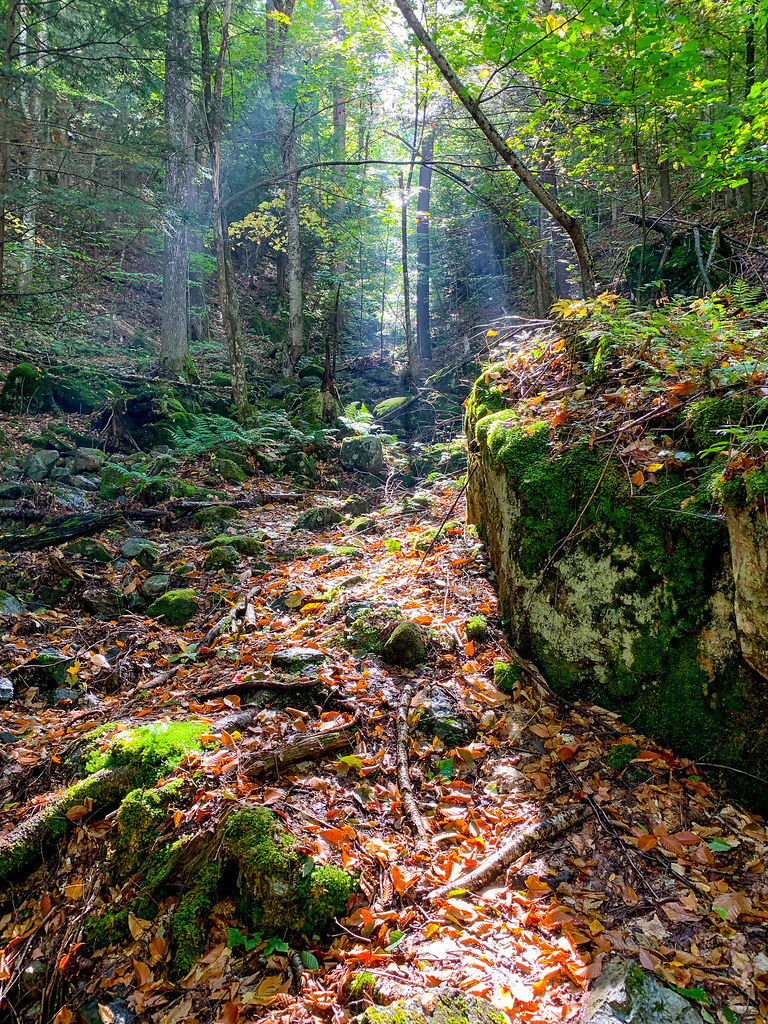 Photo: Fil.Al, CC BY 2.0 (via Flickr)
Old Dix Trail
~2 min drive
2.07-mile point-to-point trail in New York with 922 ft elevation gain.
 Photo: matt.a, CC BY 3.0 (via Wikimedia Commons)
Hedgehog Trail
~3 min drive
1.38-mile point-to-point trail in New York with 1,076 ft elevation gain.
 Photo: Fil.Al, CC BY 2.0 (via Flickr)
S. Burns Weston Trail
~3 min drive
A 2.54-mile point-to-point trail offering accessible hiking through New York terrain.
 Photo: Dougtone, CC BY-SA 2.0 (via Flickr)
Roaring Brook Trail
~1 min drive
3.23-mile point-to-point trail in New York with 3,540 ft elevation gain
Photo: Dougtone, CC BY-SA 2.0 (via Flickr)Washbowl Trail
~3 min drive
Washbowl Trail is a 0.90-mile point-to-point trail in New York with 559 ft of elevation gain.
HIKE
Ranney Trail
~4 min drive
Ranney Trail is a 1.38-mile point-to-point trail in New York with 1,323 ft of elevation loss.
Photo: Fil.Al, CC BY 2.0 (via Flickr)Henry Stimson Trail
~2 min drive
1.29-mile point-to-point trail in New York with 1,749 ft elevation gain.
Photo: Dougtone, CC BY-SA 2.0 (via Flickr)Nubble Trail
~3 min drive
Nubble Trail is a point-to-point trail in New York, 0.88 miles with 833 ft gain.
HIKE
Hopkins via Spread Eagle Trail
~5 min drive
1.17-mile point-to-point hike in New York with 1,098 ft gain.
Map and trail data © OpenStreetMap contributors

