Waters Millpond Trail
- 2.5 mi
- round trip
- 643 ft
- climb
- 1,711 ft
- high point
- Out and back
- route
- May–Sep
- best months
Waters Millpond Trail is an easy out-and-back hike in New York, about 1.8 miles from the town of Knappville. The route is roughly 4.9 miles long, with a total elevation gain of about 167 feet, and it reaches a high point of 1,711 feet. The trail is a low-effort outing, with the steepest stretch coming around the 2-mile mark at about 8%. Summer is the most comfortable time to go. Typical averages from a nearby weather station show July highs around 77°F with lows near 56°F, while winter highs stay in the 20s. Several other trails sit close by. Ayers Lake Trail is under a mile away and Avery Road Trail is about 1.1 miles off. Long Lake Crossover Trail and Dexter Lake Trail are both about 2.9 miles away.
Local outfitters
- Great Camp Sagamore38 mi away
Not on Roamze yet. Their page has how to reach them.
Best time to go · May–Sep
Best time to visit Waters Millpond Trail
Best months: May–September. Best months have typical highs of 55–85 °F, lows of 30 °F or warmer (32 °F where the station doesn't record snow), at most one snowy day and no more than 12 wet days.
Jan
24° / 7°
Feb
27° / 8°
Mar
35° / 16°
Apr
48° / 29°
May
63° / 42°
Jun
72° / 52°
Jul
77° / 56°
Aug
73° / 54°
Sep
67° / 46°
Oct
53° / 36°
Nov
40° / 25°
Dec
30° / 16°
Typical high / low (°F) and days with rain or snow, 1991–2020. Measured at Gloversville 7nw (Peck Lake), NY, 12.7 mi away at 1,455 ft. This station doesn't record snowfall. Source: NOAA NCEI U.S. Climate Normals 1991–2020.
Keep exploring — more trails worth the drive
 Photo: markcbrennan, CC BY-SA 2.0 (via Flickr)
Good Luck Cliffs Trail
~8 min drive
0.55-mile out-and-back trail to Good Luck Cliffs in New York with 625 ft gain.
 Photo: Schezar, CC BY 2.0 (via Flickr)
Erie Canalway Trail (Little Falls to Canajoharie)
~28 min drive
18.71-mile point-to-point Erie Canalway Trail from Little Falls to Canajoharie in New York.
 Photo: Russ Nelson, CC BY-SA 2.0 (via Flickr)
Fonda, Johnstown and Gloversville Rail Trail
~36 min drive
5.8-mile out-and-back rail trail in New York with 666 ft elevation gain/loss
Photo: markcbrennan, CC BY-SA 2.0 (via Flickr)Spectacle Lake Trail
~9 min drive
1.14-mile out-and-back hike to Spectacle Lake in New York.
 Photo: andyarthur, CC BY 2.0 (via Flickr)
Murphy lake path
~39 min drive
13.16-mile out-and-back trail in New York with 2,095 ft elevation gain
 Photo: Jordan Meeter, CC BY 3.0 (via Wikimedia Commons)
Fawn Lake Trail
~36 min drive
7.3-mile out-and-back hike in New York with 865 ft elevation gain and loss.
Photo: markcbrennan, CC BY-SA 2.0 (via Flickr)West Stoner Lake Trail
~9 min drive
2.48-mile out-and-back hike with 434 ft gain and 600 ft loss in New York.
HIKE
Dexter Lake Trail
~5 min drive
7.04-mile out-and-back hike in New York with 945 ft elevation gain.
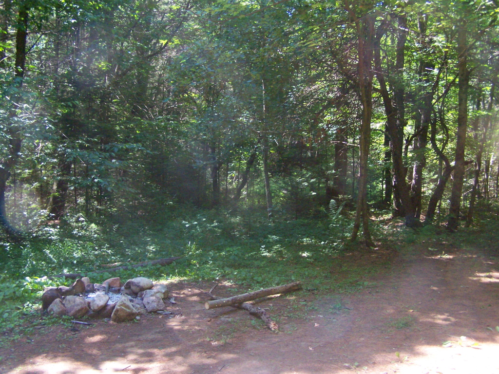 Photo: andyarthur, CC BY 2.0 (via Flickr)
Coulombe Creek trail
~39 min drive
7.42-mile out-and-back hike in New York with 962 ft elevation gain
 Photo: ke9tv, CC BY-SA 2.0 (via Flickr)
Godfrey Road Spur Trail
~24 min drive
0.33-mile out-and-back trail in New York with 75 ft elevation gain.

Map and trail data © OpenStreetMap contributors
