New York · Hiking · Near Mount Kisco
Valley Trail
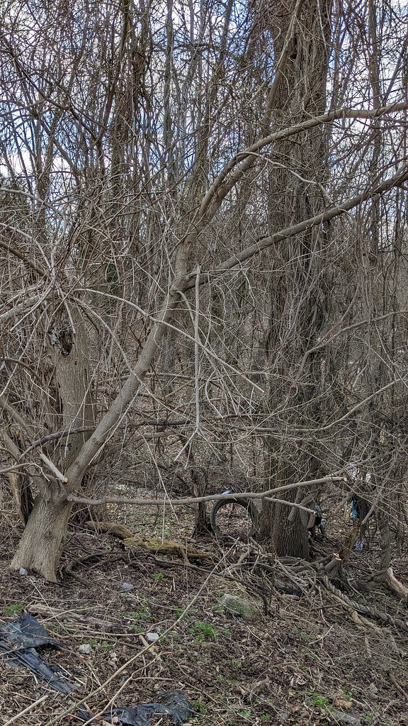
 Photo: Ira Gersh, Public Domain Mark (via Flickr)
- 0.5 mi
- round trip
- 199 ft
- climb
- 385 ft
- high point
- Out and back
- route
- Apr–Jun, Aug–Oct
- best months
Loading this week's forecast
Valley Trail is a short, easy out-and-back hike in Sprain Ridge County Park, which sits on county land in New York. The trail is less than a mile long, with a total of about 200 feet of elevation gain and loss between the high point at 385 feet and the low point at 237 feet. The steepest stretch comes at the start, around the first tenth of a mile, and the trail makes a natural pairing with other routes in the park. The most comfortable time to visit is late spring or early fall. Typical averages from a nearby weather station in Dobbs Ferry-Ardsley put May highs around 73°F and September highs around 77°F, with July the warmest month at about 86°F. Thruway Trail lies about 0.2 miles away and Thompson Trail about 0.4 miles away. V.E. Macy Park, a climbing area, is roughly 3.9 miles off.
Around this trail
Add any of these when you start a tripSleep close Eat after  If it rainsAlexandra.birenbaum, CC BY-SA 4.0 · Wikimedia Commons
Places © OpenStreetMap contributors, Places © Overture Maps Foundation · Photos: Alexandra.birenbaum, CC BY-SA 4.0 (commons)
More in Mount KiscoLocal outfitters
- Pier 13 Hoboken18 mi away
Not on Roamze yet. Their page has how to reach them.
- Thruway TrailHiking0.2 mi
- Thompson TrailHiking0.4 mi
- South LoopHiking0.5 mi
- V.E. Macy ParkRock climbing3.9 mi
- Orange Hill BoulderingRock climbing4.2 mi
- Upper Trail PeninsulaRock climbing4.5 mi
 Bronx RiverCanoeingPhoto: Jim.henderson, Public domain (via Wikimedia Commons)6 mi
- Bronx River BluewayCanoeing9.1 mi
Source: Roamze catalog (indexable pages within 10 miles, PostGIS distance)
 North Brothers LoopHiking · Next doorPhoto: Ira Gersh, Public Domain Mark (via Flickr)
 White TrailHiking · ~5 min drivePhoto: clembore, CC BY-SA 2.0 (via Flickr)
 Shore TrailHiking · ~5 min drivePhoto: PunkToad, CC BY 2.0 (via Flickr)
- Sprain Slick Rock TrailHiking · ~1 min drivePhoto: Ira Gersh, Public Domain Mark (via Flickr)
- Yellow TrailHiking · ~5 min drivePhoto: clembore, CC BY-SA 2.0 (via Flickr)
 Red CircleHiking · ~6 min drivePhoto: Tainanian, CC BY 2.0 (via Flickr)
- Algonquin TrailHiking · ~2 min drivePhoto: Ira Gersh, Public Domain Mark (via Flickr)
 Yellow TrailHiking · ~6 min drivePhoto: Michael Cory, CC BY 2.0 (via Flickr)
 Broad TrailHiking · ~3 min drivePhoto: Bryan Pocius, CC BY 2.0 (via Flickr)
- Yellow TrailHiking · ~6 min drive
Best time to visit Valley Trail
Best months: April–June and August–October. Best months have typical highs of 55–85 °F, lows of 30 °F or warmer (32 °F where the station doesn't record snow), at most one snowy day and no more than 12 wet days.
Jan
40° / 23°
11 wet
Feb
43° / 25°
9 wet
Mar
51° / 31°
11 wet
Apr
63° / 40°
12 wet
May
73° / 50°
12 wet
Jun
81° / 59°
11 wet
Jul
86° / 64°
10 wet
Aug
84° / 63°
10 wet
Sep
77° / 56°
9 wet
Oct
65° / 45°
9 wet
Nov
54° / 36°
10 wet
Dec
44° / 29°
11 wet
Typical high / low (°F) and days with rain or snow, 1991–2020. Measured at Dobbs Ferry-Ardsley, NY, 2.2 mi away at 200 ft. This station doesn't record snowfall. Source: NOAA NCEI U.S. Climate Normals 1991–2020.
Map and trail data © OpenStreetMap contributors
