New York · Hiking · Near Mount Kisco
Algonquin Trail
 Photo: Ira Gersh, Public Domain Mark (via Flickr)
- 0.9 mi
- loop
- 221 ft
- climb
- 411 ft
- high point
- Loop
- route
- Apr–Jun, Aug–Oct
- best months
Algonquin Trail is a short, easy loop in Hillside Woods County Park in New York, on county land about 0.85 miles long. It rises from a low point of 177 feet to a high of 411 feet, with a total climb of 221 feet, and the steepest stretch comes at about 0.35 miles in, where the grade reaches 19 percent. The trail is a loop, so it starts and ends at the same point. It works well as a quick outing, and the trip takes about half an hour. Bikes and horses are not allowed. For comfortable weather, aim for late spring or early fall. Typical averages from a nearby weather station in Dobbs Ferry-Ardsley show May highs around 73°F and September highs around 77°F, with July the warmest month at about 86°F. Broad Trail lies just 0.2 miles away, and Estherwood Trail (Blue) is 0.4 miles off. North Brothers Loop is about a mile away, and V.E. Macy Park, a climbing area, is roughly 2.8 miles from the trail.
Around this trail
Add any of these when you start a tripSleep close Eat after  If it rainsJim.henderson, CC0 · Wikimedia Commons
Places © OpenStreetMap contributors · Photos: Jim.henderson, CC0 (commons)
More in Mount KiscoLocal outfitters
- Pier 13 Hoboken19 mi away
Not on Roamze yet. Their page has how to reach them.
Best time to go · Apr–Jun, Aug–Oct
Best time to visit Algonquin Trail
Best months: April–June and August–October. Best months have typical highs of 55–85 °F, lows of 30 °F or warmer (32 °F where the station doesn't record snow), at most one snowy day and no more than 12 wet days.
Jan
40° / 23°
11 wet
Feb
43° / 25°
9 wet
Mar
51° / 31°
11 wet
Apr
63° / 40°
12 wet
May
73° / 50°
12 wet
Jun
81° / 59°
11 wet
Jul
86° / 64°
10 wet
Aug
84° / 63°
10 wet
Sep
77° / 56°
9 wet
Oct
65° / 45°
9 wet
Nov
54° / 36°
10 wet
Dec
44° / 29°
11 wet
Typical high / low (°F) and days with rain or snow, 1991–2020. Measured at Dobbs Ferry-Ardsley, NY, 1.7 mi away at 200 ft. This station doesn't record snowfall. Source: NOAA NCEI U.S. Climate Normals 1991–2020.
Keep exploring — more trails worth the drive
 Photo: Bryan Pocius, CC BY 2.0 (via Flickr)
Broad Trail
Next door
0.71-mile loop with 94 ft gain and 181 ft loss in New York.
 Photo: clembore, CC BY-SA 2.0 (via Flickr)
White Trail
~3 min drive
0.64-mile point-to-point trail in New York with 114 ft gain.
 Photo: PunkToad, CC BY 2.0 (via Flickr)
Shore Trail
~4 min drive
Scenic 10-mile waterfront point-to-point hike with easy walking and water views.
Photo: Bryan Pocius, CC BY 2.0 (via Flickr)Estherwood Trail (Blue)
Next door
0.66-mile out-and-back trail in New York with 568 ft elevation gain.
Photo: clembore, CC BY-SA 2.0 (via Flickr)Yellow Trail
~3 min drive
0.33-mile point-to-point trail in New York with 76 ft elevation gain.
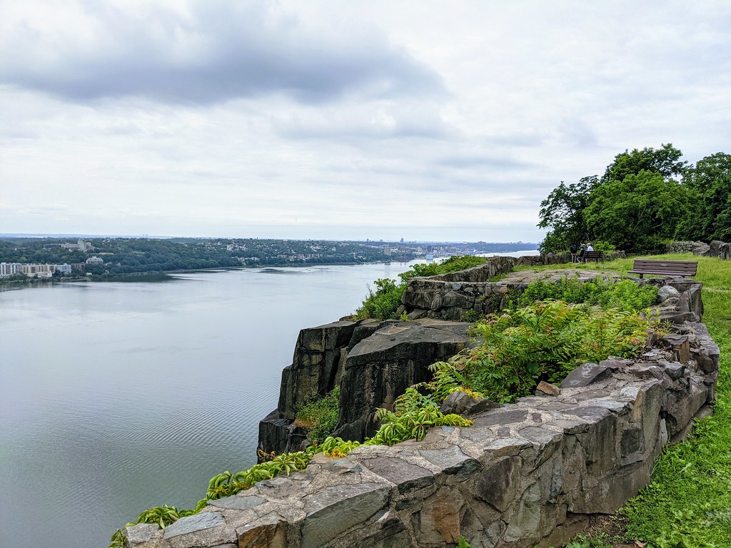 Photo: Tainanian, CC BY 2.0 (via Flickr)
Red Circle
~5 min drive
3.57-mile out-and-back trail in New Jersey with 663 ft gain
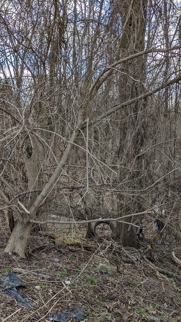 Photo: Ira Gersh, Public Domain Mark (via Flickr)
North Brothers Loop
~2 min drive
1.35-mile loop in New York with 354 ft gain and 356 ft loss
 Photo: Michael Cory, CC BY 2.0 (via Flickr)
Yellow Trail
~4 min drive
0.47-mile out-and-back trail in New York with 246 ft elevation gain.
Photo: Ira Gersh, Public Domain Mark (via Flickr)Sprain Slick Rock Trail
~2 min drive
1.06-mile out-and-back trail in New York with 191 ft elevation gain.
Photo: Ira Gersh, Public Domain Mark (via Flickr)Valley Trail
~2 min drive
0.96-mile out-and-back trail in New York with 199 ft of elevation gain.
Map and trail data © OpenStreetMap contributors
