Lillypad Pond campsite
Campground
Campground · 5.2 mi from the trail
Snow Mountain Trail is a 1.1-mile hike in New York, about 0.8 miles from the village of Saint Huberts. The route rises from roughly 1,700 feet to about 2,375 feet, with a total gain of 632 feet. It's a point-to-point trail that runs on a rolling course, and the steepest stretch comes near the top, with a 32% grade at about 0.9 miles in. Summer is the most comfortable time to go. Typical averages from a nearby weather station at Lake Placid, about 14 miles away, run to highs around 74°F in July and 73°F in August, with lows in the low 50s. Winters there are cold, with January highs near 23°F and lows around 6°F. The trail sits among several other routes in the area. The W.A. White Trail starts just 0.1 mile away, and the Deer Brook High-Water Route and Deer Creek Trail are both about a mile away. Tillicum Campground is the closest place to stay.
Lillypad Pond campsite
Campground
Schroon Lake view
Viewpoint
Places © OpenStreetMap contributors
More in Schroon LakeNot on Roamze yet. Their page has how to reach them.
No month here meets our mild-weather rule. Best months have typical highs of 55–85 °F, lows of 30 °F or warmer (32 °F where the station doesn't record snow), at most one snowy day and no more than 12 wet days.
Jan
23° / 6°
18 wet
Feb
27° / 8°
14 wet
Mar
36° / 16°
14 wet
Apr
49° / 29°
14 wet
May
62° / 40°
15 wet
Jun
70° / 49°
14 wet
Jul
74° / 54°
14 wet
Aug
73° / 52°
13 wet
Sep
66° / 45°
13 wet
Oct
52° / 35°
15 wet
Nov
40° / 25°
16 wet
Dec
28° / 14°
18 wet
Typical high / low (°F) and days with rain or snow, 1991–2020. Measured at Lake Placid 2 S, NY, 13.9 mi away at 1,888 ft. This station doesn't record snowfall. Source: NOAA NCEI U.S. Climate Normals 1991–2020.
 Photo: Dougtone, CC BY-SA 2.0 (via Flickr)
Roaring Brook Trail
~2 min drive
3.23-mile point-to-point trail in New York with 3,540 ft elevation gain
 Photo: matt.a, CC BY 3.0 (via Wikimedia Commons)
Hedgehog Trail
~2 min drive
1.38-mile point-to-point trail in New York with 1,076 ft elevation gain.
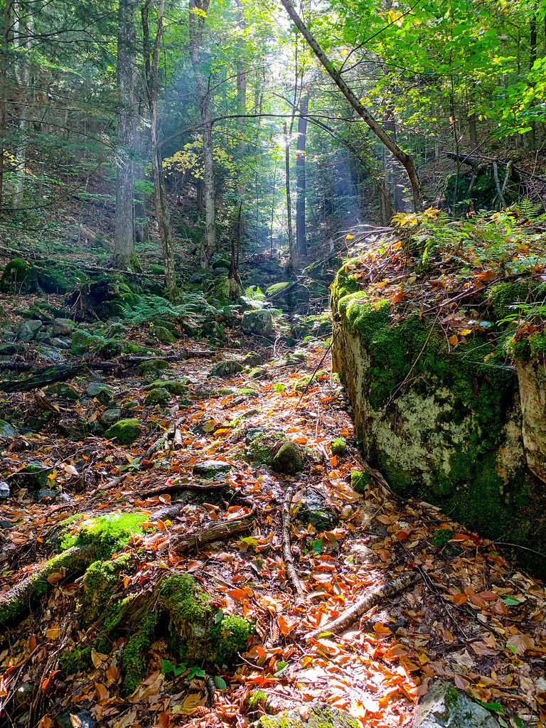 Photo: Fil.Al, CC BY 2.0 (via Flickr)
Old Dix Trail
~3 min drive
2.07-mile point-to-point trail in New York with 922 ft elevation gain.
 Photo: Fil.Al, CC BY 2.0 (via Flickr)
S. Burns Weston Trail
~5 min drive
A 2.54-mile point-to-point trail offering accessible hiking through New York terrain.
 Photo: Fil.Al, CC BY 2.0 (via Flickr)
H.G. Leach Trail
~2 min drive
5.17-mile point-to-point trail in New York with 3,842 ft elevation gain
HIKE
Ranney Trail
~4 min drive
Ranney Trail is a 1.38-mile point-to-point trail in New York with 1,323 ft of elevation loss.
Photo: Dougtone, CC BY-SA 2.0 (via Flickr)Washbowl Trail
~3 min drive
Washbowl Trail is a 0.90-mile point-to-point trail in New York with 559 ft of elevation gain.
Photo: Fil.Al, CC BY 2.0 (via Flickr)Henry Stimson Trail
~3 min drive
1.29-mile point-to-point trail in New York with 1,749 ft elevation gain.
HIKE
Hopkins via Spread Eagle Trail
~4 min drive
1.17-mile point-to-point hike in New York with 1,098 ft gain.
Photo: Dougtone, CC BY-SA 2.0 (via Flickr)Nubble Trail
~4 min drive
Nubble Trail is a point-to-point trail in New York, 0.88 miles with 833 ft gain.
About 1.1 mi.
About 632 ft of climbing round trip.
It is rated easy.
About 1 hour round trip.
Daily highs and lows, wind and the chance of precipitation at the summit and route start for the next 7 days, from the Open-Meteo model.
Map and trail data © OpenStreetMap contributors

