Tiorati Plateau
Campground
Campground · 4.7 mi from the trail
Ski is a moderate hike in Bear Mountain State Park in New York, managed by State Park and Recreation. The route is an out-and-back of about 5.6 miles, with a total elevation gain of 350 feet, and it reaches a high point of 468 feet. The steepest stretch comes at about 2.5 miles in, where the grade reaches 46 percent. The trail is not open to bikes or horses. The nearest town is Suffern, and the trailhead sits within the park's boundaries. For comfortable weather, late spring and early fall are the best bets. Typical averages from a nearby weather station at West Point show May highs around 72°F and September highs around 76°F, while winter brings highs in the mid-30s and a few snowy days each month from December through February. Several other routes start close by. The Doodletown Bridle Path and the Suffern-Bear Mountain Trail are both within half a mile, and the Doodletown Road and 1777 Trail are each about a mile away.
Tiorati Plateau
Campground
 If it rainsDaniel Case, CC BY-SA 3.0 · Wikimedia Commons
American Revolutionary War fort near West Point on the Hudson River
Places © OpenStreetMap contributors, Places © Overture Maps Foundation · Photos: Daniel Case, CC BY-SA 3.0 (commons)
More in New WindsorNot on Roamze yet. Their page has how to reach them.
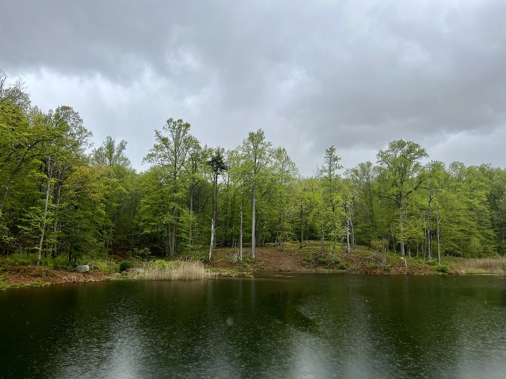 Doodletown RoadHikingPhoto: christinejwarner, CC BY 2.0 (via Flickr)0.6 mi
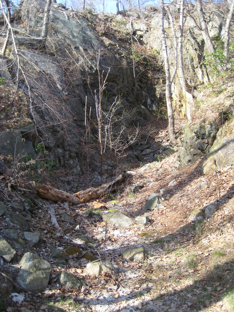 1777 TrailHikingPhoto: Russ Nelson, CC BY-SA 2.0 (via Flickr)1 mi
 Croton RiverCanoeingPhoto: PointsofNoReturn, CC BY-SA 4.0 (via Wikimedia Commons)8.9 mi
Source: Roamze catalog (indexable pages within 10 miles, PostGIS distance)
Doodletown RoadHiking · ~1 min drivePhoto: christinejwarner, CC BY 2.0 (via Flickr)1777 TrailHiking · ~2 min drivePhoto: Russ Nelson, CC BY-SA 2.0 (via Flickr) Doodletown Bridle PathHiking · ~2 min drivePhoto: paramsach, CC BY 2.0 (via Flickr)1777 W TrailHiking · ~2 min drivePhoto: paramsach, CC BY 2.0 (via Flickr)
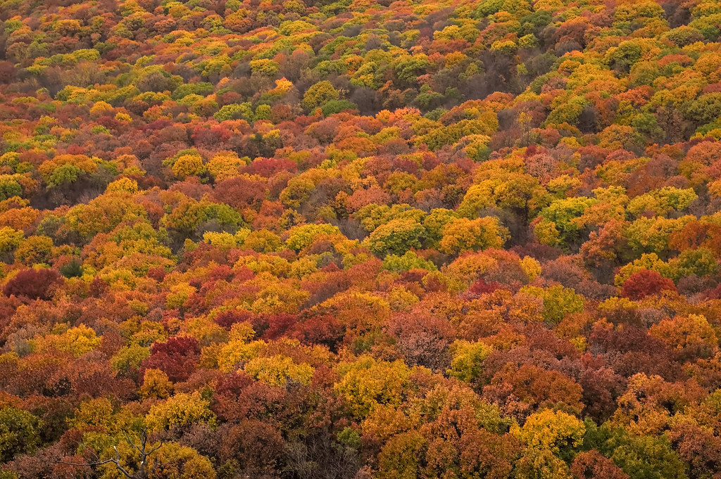 Timp- TorneHiking · ~2 min drivePhoto: CarbonNYC [in SF!], CC BY 2.0 (via Flickr)
 Cornell Mine TrailHiking · ~3 min drivePhoto: Schezar, CC BY 2.0 (via Flickr)
 Jones TrailHiking · ~2 min drivePhoto: Russ Nelson, CC BY-SA 2.0 (via Flickr)Major Welch TrailHiking · ~3 min drivePhoto: paramsach, CC BY 2.0 (via Flickr)
 FawnHiking · ~2 min drivePhoto: Schezar, CC BY 2.0 (via Flickr)
Also worth it near here
Best months: April–October. Best months have typical highs of 55–85 °F, lows of 30 °F or warmer (32 °F where the station doesn't record snow), at most one snowy day and no more than 12 wet days.
Jan
36° / 21°
10 wet · 3 snow
Feb
39° / 22°
8 wet · 3 snow
Mar
47° / 30°
10 wet · 2 snow
Apr
60° / 41°
10 wet
May
72° / 51°
12 wet
Jun
80° / 60°
11 wet
Jul
85° / 65°
10 wet
Aug
83° / 64°
9 wet
Sep
76° / 57°
8 wet
Oct
63° / 46°
10 wet
Nov
51° / 36°
9 wet
Dec
41° / 27°
10 wet · 2 snow
Typical high / low (°F) and days with rain or snow, 1991–2020. Measured at West Point, NY, 7.1 mi away at 320 ft. Source: NOAA NCEI U.S. Climate Normals 1991–2020.

