Scarface Mountain Trail
- 3.5 mi
- one way
- 1,532 ft
- climb
- 3,072 ft
- high point
- Point to point
- route
- May–Sep
- best months
Scarface Mountain Trail is a 3.5-mile point-to-point hike in the Saranac Lakes Wild Forest in New York, managed by the State Department of Conservation. The route rises from a low point of 1,565 feet to a high of 3,072 feet, with a total elevation gain of 1,532 feet. The climb is moderate, and the steepest stretch comes at about 0.7 miles in, where the grade reaches 37 percent. Summer is the most comfortable time to go. Typical July averages from the nearby Ray Brook weather station run to a high of 74°F and a low of 53°F, and the station sits well below the trail, so temperatures on the summit run cooler. Winter is harsh, with January highs around 23°F. The hike takes about two hours. The Adirondack Rail Trail and Haystack Mountain Trail both lie about 2.2 miles away, and the West Branch Ausable River is about 6.3 miles off.
Local outfitters
- Cloudsplitter Outfitters21 mi away
- Great Camp Sagamore44 mi away
Not on Roamze yet. Their page has how to reach them.
- Adirondack Rail TrailHiking2.2 mi
- Haystack Mountain TrailHiking2.2 mi
- Front BoulderRock climbing2.9 mi
- Fourth SetRock climbing3.2 mi
- The MothershipRock climbing3.2 mi
- Mckenzie Mountain TrailHiking3.3 mi
- West Branch Ausable RiverRiver fishing6.3 mi
- Lower Saranac LakeLake fishing7.1 mi
Source: Roamze catalog (indexable pages within 10 miles, PostGIS distance)
 Adirondack Rail TrailHiking · ~6 min drivePhoto: New York Public Library, No restrictions (via Wikimedia Commons)
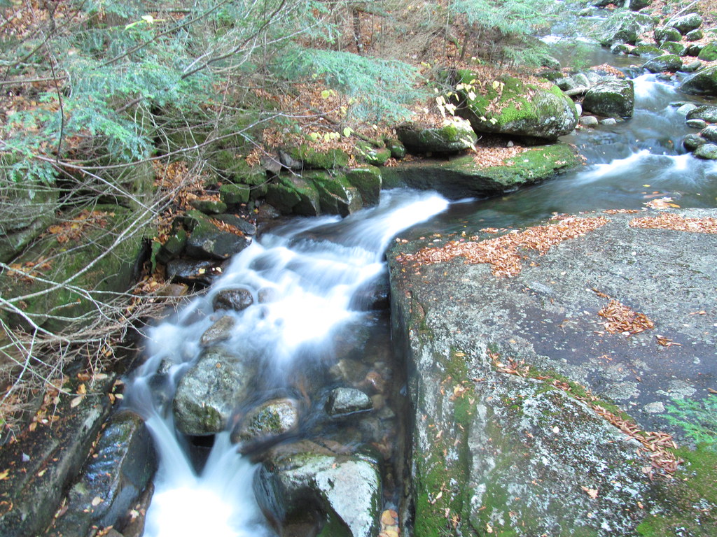 Old Northville-Placid TrailHiking · ~7 min drivePhoto: ke9tv, CC BY-SA 2.0 (via Flickr)
 Mount Jo TrailsHiking · ~13 min drivePhoto: delaere, CC BY 2.0 (via Flickr)
- Jackrabbit TrailHiking · ~7 min drive
 Bear Cub LoopHiking · ~7 min drivePhoto: Navin75, CC BY-SA 2.0 (via Flickr)
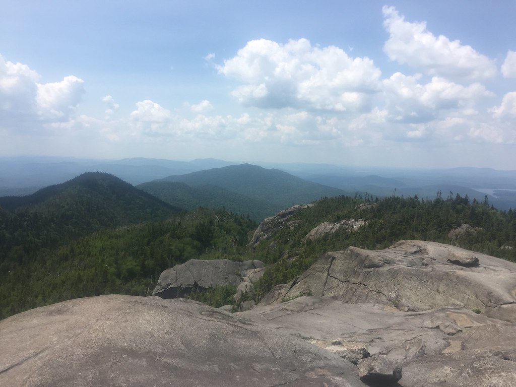 Ampersand Mountain TrailHiking · ~12 min drivePhoto: runJMrun — CC BY 2.0 (via Flickr)
 Ridge TrailHiking · ~8 min drivePhoto: matt.a, CC BY 3.0 (via Wikimedia Commons)
- Street and Nye TrailHiking · ~13 min drivePhoto: delaere, CC BY 2.0 (via Flickr)
 SorryHiking · ~9 min drivePhoto: New York Public Library, No restrictions (via Wikimedia Commons)
 Wallface Ponds TrailHiking · ~14 min drivePhoto: drsmith7383, CC BY 2.0 (via Flickr)
Best time to visit Scarface Mountain Trail
Best months: May–September. Best months have typical highs of 55–85 °F, lows of 30 °F or warmer (32 °F where the station doesn't record snow), at most one snowy day and no more than 12 wet days.
Jan
23° / 5°
Feb
25° / 5°
Mar
34° / 14°
Apr
48° / 27°
May
61° / 39°
Jun
70° / 49°
Jul
74° / 53°
Aug
72° / 51°
Sep
66° / 44°
Oct
52° / 36°
Nov
40° / 26°
Dec
27° / 15°
Typical high / low (°F) and days with rain or snow, 1991–2020. Measured at Ray Brook, NY, 2.6 mi away at 1,620 ft. The station sits about 1,500 ft lower than this place, so expect it a little cooler here. This station doesn't record snowfall. Source: NOAA NCEI U.S. Climate Normals 1991–2020.
Route details
- Distance
- 3.5 mi
- Climbing
- About 1,532 ft
- Summit
- 3,071 ft
- Difficulty
- Moderate
- Time
- About 1.5 hours
Questions about this route
How long is the Scarface Mountain Trail on Scarface Mountain?
About 3.5 mi.
How much elevation gain is on the Scarface Mountain Trail?
About 1,532 ft of climbing round trip.
How hard is the Scarface Mountain Trail?
It is rated moderate.
How long does the Scarface Mountain Trail take?
About 1.5 hours round trip.
Conditions and forecast on Scarface Mountain
Daily highs and lows, wind and the chance of precipitation at the summit and route start for the next 7 days, from the Open-Meteo model.
Map and trail data © OpenStreetMap contributors
