Wanika Falls campsite
- May–Sep
- best months
Wanika Falls campsite is a campground in New York.
Local outfitters
- Cloudsplitter Outfitters17 mi away
Not on Roamze yet. Their page has how to reach them.
- Wanika FallsWaterfall0.1 mi
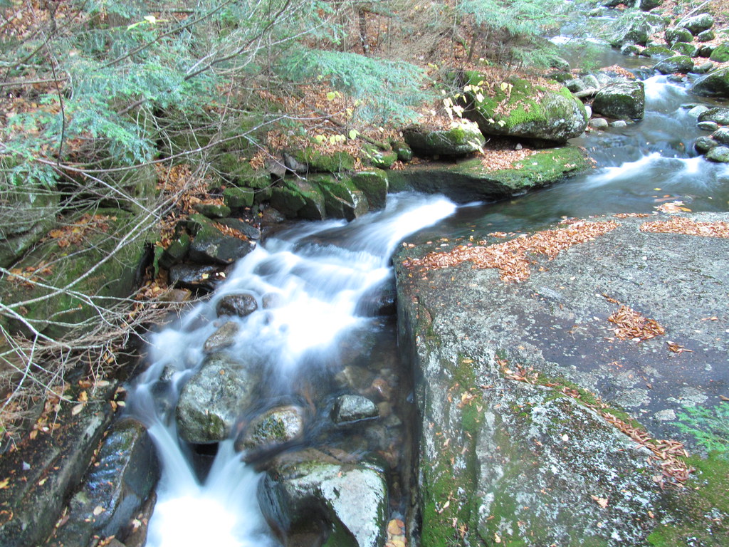 Old Northville-Placid TrailHikingPhoto: ke9tv, CC BY-SA 2.0 (via Flickr)0.6 mi
- Street Mountain TrailHiking2 mi
- Rocky FallsWaterfall3.4 mi
- WallfaceRock climbing4.4 mi
- Mount JoSummit4.5 mi
- West Branch Ausable RiverCanoeing5.1 mi
- John Brown Farm State Historic SiteState park5.5 mi
Source: Roamze catalog (indexable pages within 10 miles, PostGIS distance)
- Wilderness Campground at Heart LakeCamping · ~8 min drive
- Marcy Dam Backcountry CampsitesCamping · ~10 min drive
- Lake Colden CampgroundCamping · ~11 min drive
- Calamity BrookCamping · ~12 min drive
- Livingston Point CampsiteCamping · ~12 min drive
- Draper's Acres CampgroundCamping · ~13 min drive
- East River TrailCamping · ~14 min drive
- Sable IslandCamping · ~16 min drive
- Eagle IslandCamping · ~17 min drive
- Green IslandCamping · ~17 min drive
Best time to visit Wanika Falls campsite
Best months: May–September. Best months have typical highs of 55–85 °F, lows of 30 °F or warmer (32 °F where the station doesn't record snow), at most one snowy day and no more than 12 wet days.
Jan
23° / 5°
Feb
25° / 5°
Mar
34° / 14°
Apr
48° / 27°
May
61° / 39°
Jun
70° / 49°
Jul
74° / 53°
Aug
72° / 51°
Sep
66° / 44°
Oct
52° / 36°
Nov
40° / 26°
Dec
27° / 15°
Typical high / low (°F) and days with rain or snow, 1991–2020. Measured at Ray Brook, NY, 7.1 mi away at 1,620 ft. We don't have this place's elevation, so higher spots nearby can run cooler. This station doesn't record snowfall. Source: NOAA NCEI U.S. Climate Normals 1991–2020.

Map and trail data © OpenStreetMap contributors
