Street and Nye Trail
 Photo: delaere, CC BY 2.0 (via Flickr)
- 2.9 mi
- one way
- 1,845 ft
- climb
- 3,803 ft
- high point
- Point to point
- route
Street and Nye Trail is a 2.9-mile point-to-point hike in New York, set within the Adirondak Loj, a land unit managed by a non-governmental organization. The route rises from about 2,243 feet to a high point of 3,803 feet, with a total elevation gain of 1,845 feet. The climb is back-loaded, with the steepest stretch at about 2.3 miles in, where the grade reaches 38 percent. The trail is rated moderate. The hike starts at a lower elevation of about 1,956 feet and ends at the high point. Bikes and horses are not allowed on this route. The Street and Nye Ski Trail and West Side Speedway, both cross-country ski routes, sit about 0.1 mile away. Mount Jo Trails is about 0.3 mile off, and the West Branch Ausable River, a canoeing destination, is about 2 miles away.
Local outfitters
- Cloudsplitter Outfitters17 mi away
- Great Camp Sagamore44 mi away
Not on Roamze yet. Their page has how to reach them.
Keep exploring — more trails worth the drive
Photo: delaere, CC BY 2.0 (via Flickr)Heart Lake Loop
Next door
0.62-mile point-to-point trail in New York with 121 ft gain.
Photo: delaere, CC BY 2.0 (via Flickr)Mount Jo Trails
Next door
Short point-to-point Adirondack summit hike with scenic views.
 Photo: drsmith7383, CC BY 2.0 (via Flickr)
Van Hoevenberg Trail
~4 min drive
Scenic 7.66-mile point-to-point High Peaks trail with moderate elevation gain.
Photo: drsmith7383, CC BY 2.0 (via Flickr)Marcy Dam Truck Trail
~3 min drive
2.54-mile point-to-point trail in New York with 550 ft elevation loss
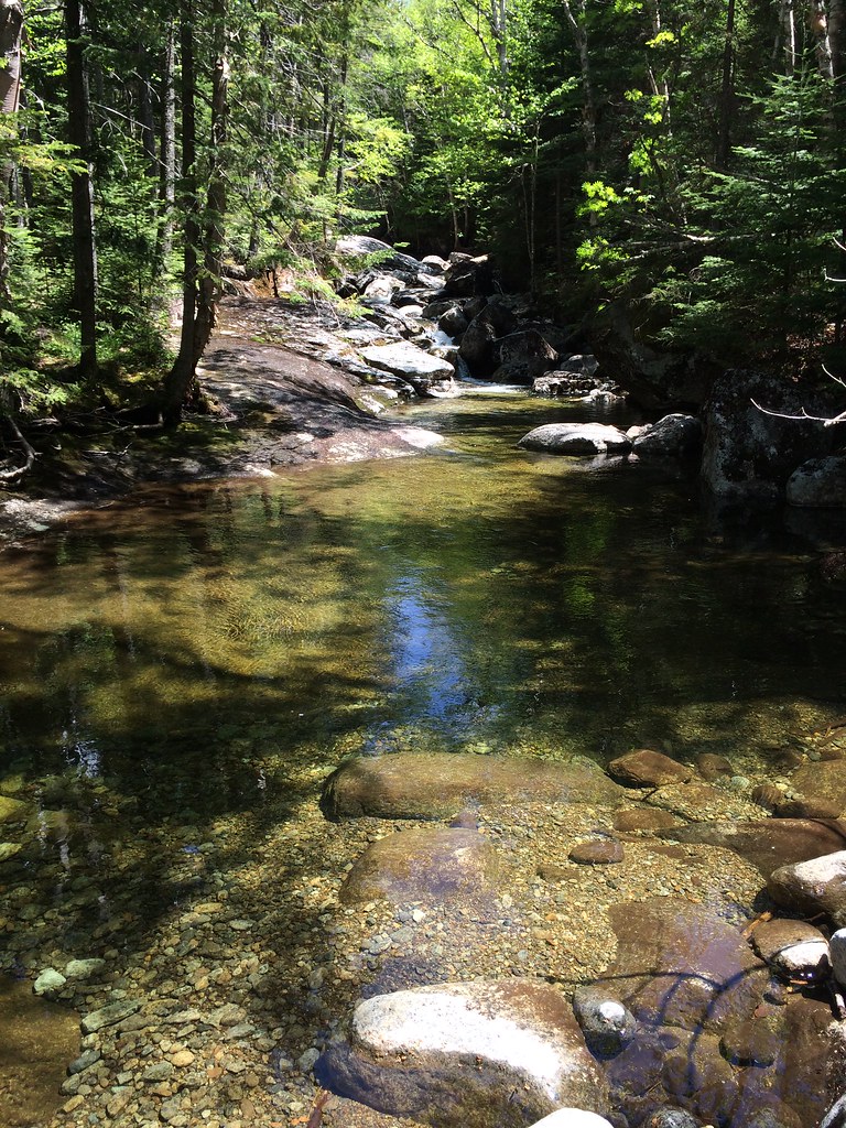 Photo: seabamirum, CC BY 2.0 (via Flickr)
Phelps Mountain Trail
~5 min drive
1.02-mile point-to-point hike in New York with 1,243 ft of elevation gain.
 Photo: drsmith7383, CC BY 2.0 (via Flickr)
Wright Trail
~4 min drive
0.37-mile point-to-point trail in New York with 548 ft gain
 Photo: runJMrun, CC BY 2.0 (via Flickr)
Mr. Van Ski Trail
~4 min drive
3.4-mile out-and-back ski trail in New York with 651 ft elevation gain
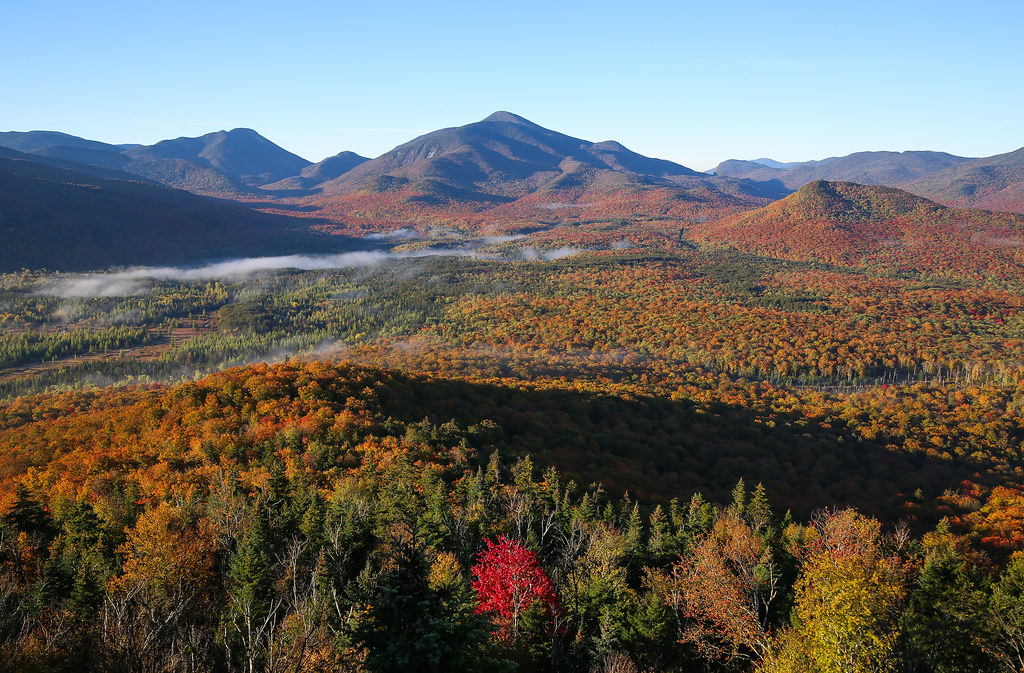 Photo: Jonathan Miske, CC BY-SA 2.0 (via Flickr)
Future Cascade Trail (Under construction)
~6 min drive
7.62-mile out-and-back hike in New York with 2,664 ft elevation gain and loss.
 Photo: drsmith7383, CC BY 2.0 (via Flickr)
Wallface Ponds Trail
~5 min drive
3.61-mile point-to-point hike in New York with 2,252 ft gain
 Photo: jbylund, CC BY-SA 2.0 (via Flickr)
L. Morgan Porter Trail
~7 min drive
1.17-mile point-to-point trail in New York with 1,065 ft elevation gain.
Map and trail data © OpenStreetMap contributors
