Mckenzie Mountain Trail
- 2.5 mi
- one way
- 2,081 ft
- climb
- 3,859 ft
- high point
- Point to point
- route
McKenzie Mountain Trail is a 2.5-mile point-to-point hike in New York's McKenzie Mountain Wilderness, managed by the State Department of Conservation. The route rises from about 1,866 feet to a high point of 3,859 feet, with a total elevation gain of 2,081 feet. The climb is steady, and the steepest stretch comes at about 1.6 miles in, where the grade reaches 54 percent. The trail is rated moderate. The route is not open to bikes or horses. Plan for about two hours on foot, and expect the steepest part of the climb to come in the middle of the hike. Several other trails sit close by. North Haystack Trail is about 0.7 miles away, and Haystack Mountain Trail is about 1.3 miles away. Climbers can find Front Boulder about 1.9 miles off, and the West Branch Ausable River offers fishing roughly 6 miles away.
Local outfitters
- Cloudsplitter Outfitters24 mi away
- Great Camp Sagamore47 mi away
Not on Roamze yet. Their page has how to reach them.
Keep exploring — more trails worth the drive
 Photo: New York Public Library, No restrictions (via Wikimedia Commons)
Adirondack Rail Trail
~5 min drive
2.3-mile out-and-back trail in New York with 146 ft elevation gain
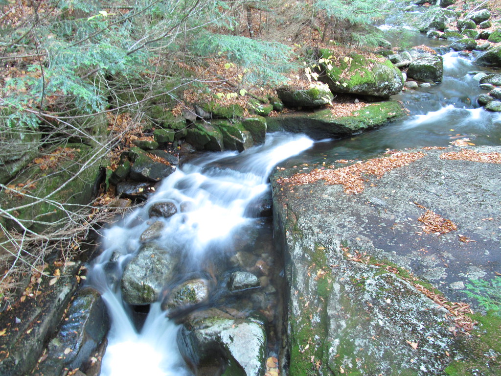 Photo: ke9tv, CC BY-SA 2.0 (via Flickr)
Old Northville-Placid Trail
~12 min drive
2.73-mile out-and-back hike in New York with 415 ft elevation gain.
 Photo: delaere, CC BY 2.0 (via Flickr)
Mount Jo Trails
~17 min drive
Short point-to-point Adirondack summit hike with scenic views.
HIKE
Jackrabbit Trail
~2 min drive
10.92-mile out-and-back hike in New York with 2,163 ft elevation gain
 Photo: matt.a, CC BY 3.0 (via Wikimedia Commons)
Ridge Trail
~5 min drive
2.04-mile out-and-back Ridge Trail in New York gains 153 ft.
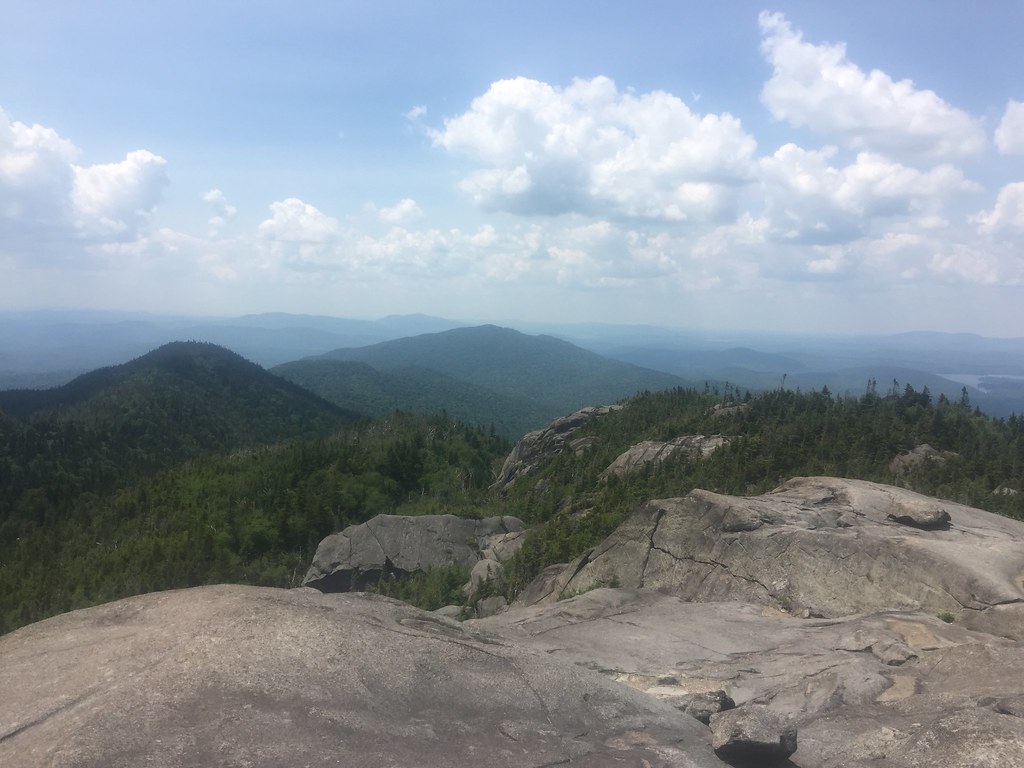 Photo: runJMrun — CC BY 2.0 (via Flickr)
Ampersand Mountain Trail
~15 min drive
2.47-mile point-to-point trail in New York with 1,784 ft elevation loss
 Photo: New York Public Library, No restrictions (via Wikimedia Commons)
East Side Snowshoe Trail
~7 min drive
0.47-mile out-and-back snowshoe trail in New York with 282 ft elevation gain.
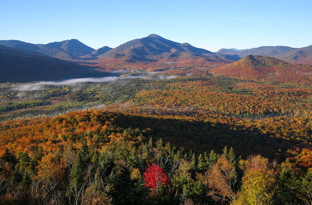 Photo: Jonathan Miske, CC BY-SA 2.0 (via Flickr)
Mount Van Hoevenberg Trail
~16 min drive
Point-to-point High Peaks hike with steady elevation gain and alpine views.
Photo: New York Public Library, No restrictions (via Wikimedia Commons)Cookie Monster
~8 min drive
0.42-mile out-and-back trail in New York with 106 ft elevation gain.
 Photo: Tainanian, CC BY 2.0 (via Flickr)
West Branch Nature Trail
~17 min drive
2.22-mile out-and-back trail in New York with 1,260 ft elevation gain

Route details
- Distance
- 2.5 mi
- Climbing
- About 2,081 ft
- Summit
- 3,859 ft
- Difficulty
- Moderate
- Time
- About 2 hours
Other routes up McKenzie Mountain
Questions about this route
How long is the Mckenzie Mountain Trail on McKenzie Mountain?
About 2.5 mi.
How much elevation gain is on the Mckenzie Mountain Trail?
About 2,081 ft of climbing round trip.
How hard is the Mckenzie Mountain Trail?
It is rated moderate.
How long does the Mckenzie Mountain Trail take?
About 2 hours round trip.
How many routes go up McKenzie Mountain?
2: Wadswoorth Trail and Mckenzie Mountain Trail.
Conditions and forecast on McKenzie Mountain
Daily highs and lows, wind and the chance of precipitation at the summit and route start for the next 7 days, from the Open-Meteo model.
Map and trail data © OpenStreetMap contributors
