Sorry
 Photo: New York Public Library, No restrictions (via Wikimedia Commons)
- 0.7 mi
- round trip
- 251 ft
- climb
- 2,079 ft
- high point
- Out and back
- route
- May–Sep
- best months
"Sorry" is an easy hike on Town of Harrietstown land in New York, managed as city land. It is an out-and-back route that covers about 1.4 miles, with a total gain and loss of about 250 feet, and it fits easily into half a day. The trail starts around 1,940 feet, climbs to a high point of about 2,079 feet, and then returns to the starting elevation. The steepest stretch comes within the first quarter mile, with a grade of about 8 percent. The small elevation gain makes this a low-effort outing, especially for a stop between longer routes in the area. Summer is the most comfortable time to go. Typical averages from a nearby weather station in Ray Brook show July highs around 74°F and lows near 53°F, while winter brings highs in the 20s and lows near 5°F. The West Side Snowshoe Trail, Mumbly Peg and Iron Bill all lie about 0.1 mile away, and the Timinator cross-country ski trail is about 0.2 mile off. For climbing, Bluff Island is roughly 2.6 miles away.
Local outfitters
- Cloudsplitter Outfitters24 mi away
- Great Camp Sagamore45 mi away
Not on Roamze yet. Their page has how to reach them.
Best time to go · May–Sep
Best time to visit Sorry
Best months: May–September. Best months have typical highs of 55–85 °F, lows of 30 °F or warmer (32 °F where the station doesn't record snow), at most one snowy day and no more than 12 wet days.
Jan
23° / 5°
Feb
25° / 5°
Mar
34° / 14°
Apr
48° / 27°
May
61° / 39°
Jun
70° / 49°
Jul
74° / 53°
Aug
72° / 51°
Sep
66° / 44°
Oct
52° / 36°
Nov
40° / 26°
Dec
27° / 15°
Typical high / low (°F) and days with rain or snow, 1991–2020. Measured at Ray Brook, NY, 2.6 mi away at 1,620 ft. This station doesn't record snowfall. Source: NOAA NCEI U.S. Climate Normals 1991–2020.
Keep exploring — more trails worth the drive
Photo: New York Public Library, No restrictions (via Wikimedia Commons)West Side Snowshoe Trail
Next door
0.61-mile snowshoe trail in New York with 132 ft elevation gain.
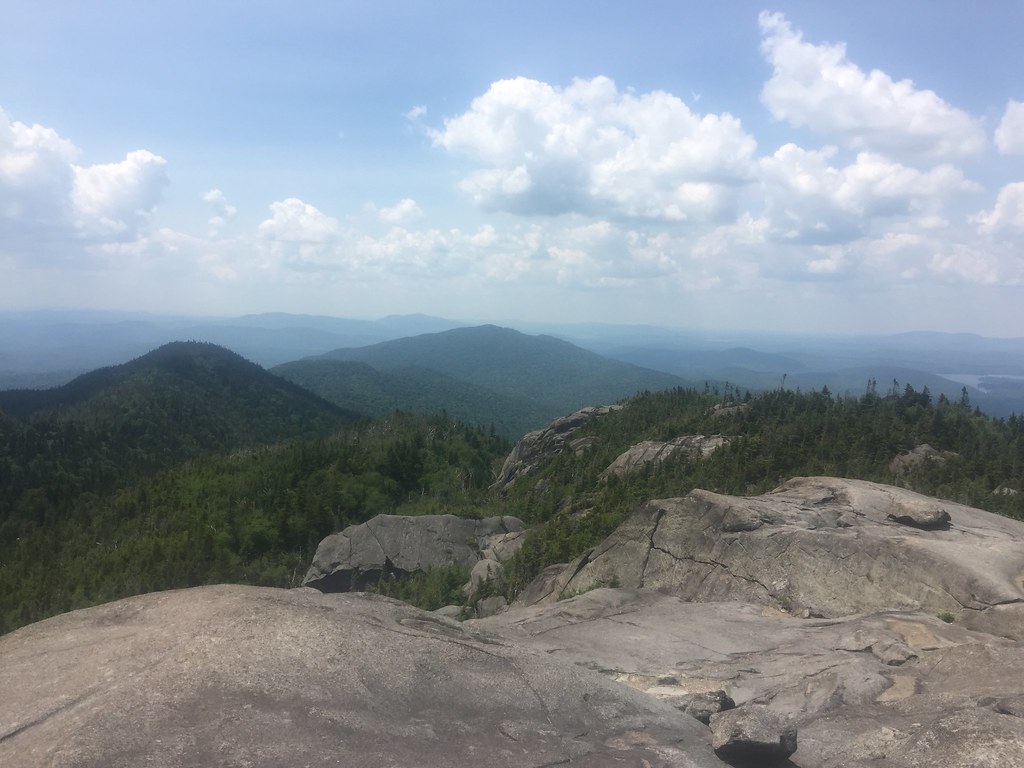 Photo: runJMrun — CC BY 2.0 (via Flickr)
Ampersand Mountain Trail
~10 min drive
2.47-mile point-to-point trail in New York with 1,784 ft elevation loss
HIKE
Jackrabbit Trail
~6 min drive
10.92-mile out-and-back hike in New York with 2,163 ft elevation gain
 Photo: New York Public Library, No restrictions (via Wikimedia Commons)
Iron Bill
Next door
0.73-mile out-and-back trail in New York with 368 ft elevation gain.
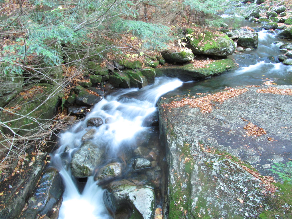 Photo: ke9tv, CC BY-SA 2.0 (via Flickr)
Old Northville-Placid Trail
~15 min drive
2.73-mile out-and-back hike in New York with 415 ft elevation gain.
Photo: New York Public Library, No restrictions (via Wikimedia Commons)Mumbly Peg
Next door
0.52-mile out-and-back trail in New York with 306 ft gain
HIKE
Baker Mountain Trail
~4 min drive
1.58-mile loop with 844 ft gain in New York
Photo: New York Public Library, No restrictions (via Wikimedia Commons)East Side Snowshoe Trail
Next door
0.47-mile out-and-back snowshoe trail in New York with 282 ft elevation gain.
HIKE
Adirondack Rail Trail
~6 min drive
6.22-mile out-and-back rail trail in New York with 638 ft gain/loss
Photo: New York Public Library, No restrictions (via Wikimedia Commons)Cookie Monster
Next door
0.42-mile out-and-back trail in New York with 106 ft elevation gain.
Map and trail data © OpenStreetMap contributors
