Roosevelt Family Walking Trail
- 0.5 mi
- loop
- 18 ft
- high point
- Loop
- route
- Easy
- difficulty
- Apr–Oct
- best months
The Roosevelt Family Walking Trail is a short, easy walk of about half a mile on County of Suffolk land in New York. It is a flat route with almost no climb, rising from about 9 feet to about 18 feet. The trail is on county property, and it is rated easy, so it works well as a quick outing. Summer is the warmest stretch for a visit. Typical averages from a nearby weather station show July and August highs around 80°F with lows in the low 70s, while winter highs stay near 40°F. Bikes and horses are not allowed on this trail. For more time outdoors, the Blue Trail and the Orange Loop Trail are each about 1.8 miles away, and the Long Island Shoreline Route offers paddling about 5.9 miles off.
Best time to go · Apr–Oct
Best time to visit Roosevelt Family Walking Trail
Best months: April–October. Best months have typical highs of 55–85 °F, lows of 30 °F or warmer (32 °F where the station doesn't record snow), at most one snowy day and no more than 12 wet days.
Jan
39° / 26°
Feb
40° / 27°
Mar
46° / 33°
Apr
56° / 43°
May
64° / 52°
Jun
74° / 62°
Jul
80° / 70°
Aug
80° / 69°
Sep
73° / 61°
Oct
63° / 49°
Nov
53° / 40°
Dec
44° / 32°
Typical high / low (°F) and days with rain or snow, 1991–2020. Measured at Molloy Cercom, NY, 1.5 mi away at 5 ft. This station doesn't record snowfall. Source: NOAA NCEI U.S. Climate Normals 1991–2020.
Keep exploring — more trails worth the drive
 Photo: Bobby17543, CC BY-SA 3.0 (via Wikimedia Commons)
Dog Walking Trail
~10 min drive
0.82-mile out-and-back trail in New York with 50 ft elevation gain.
HIKE
Overton Moutain Bike Trail
~16 min drive
6.6-mile out-and-back mountain bike trail in New York with 458 ft elevation gain
 Photo: RSLab, CC BY 2.0 (via Flickr)
Black Tupelo Trail
~17 min drive
1.08-mile loop in New York with 103 ft elevation gain
Photo: RSLab, CC BY 2.0 (via Flickr)White Oak Trail
~18 min drive
1.83-mile loop trail in New York with 126 ft gain and 131 ft loss.
Photo: RSLab, CC BY 2.0 (via Flickr)Black Tupelo Trail
~18 min drive
1.8-mile out-and-back trail in New York with 175 ft of elevation gain
 Photo: terryballard, CC BY 2.0 (via Flickr)
Beach Trail
~19 min drive
0.65-mile point-to-point trail in New York with 51 ft gain.
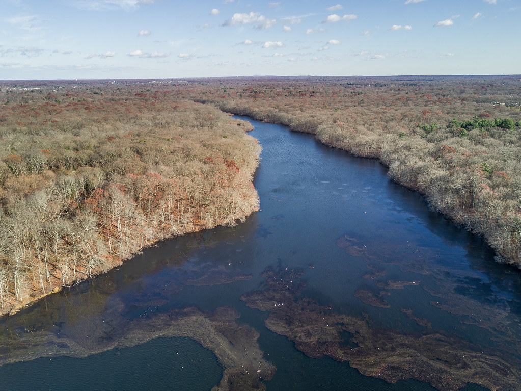 Photo: J.Feinberg Photography, CC BY 2.0 (via Flickr)
Blydenburgh Blue Trail
~19 min drive
4.22-mile point-to-point trail in New York with 581 ft gain
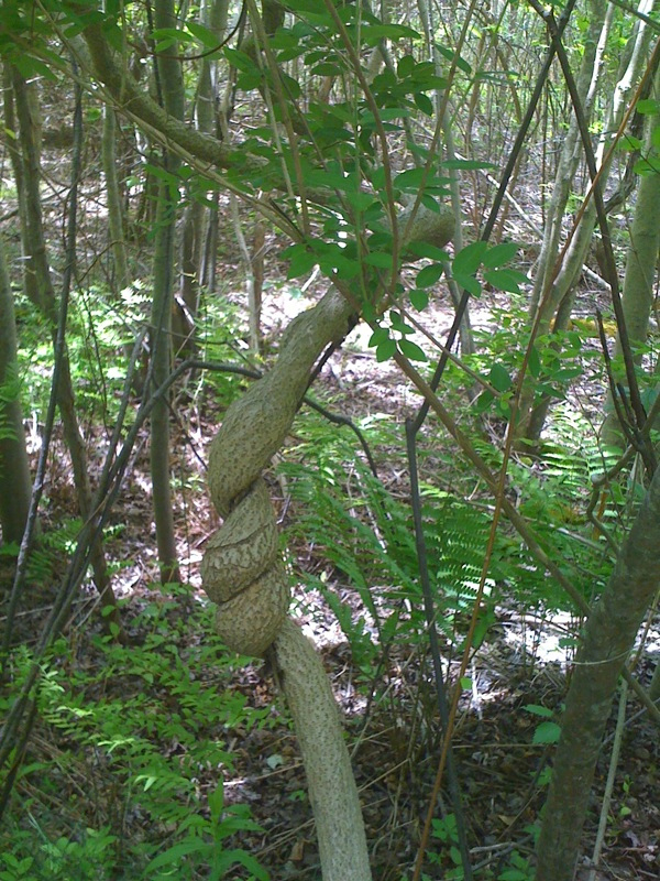 Photo: MarketMeSuite, CC BY 2.0 (via Flickr)
Plover Trail
~19 min drive
0.67-mile point-to-point trail in New York with 33 ft gain.
Photo: MarketMeSuite, CC BY 2.0 (via Flickr)Fitness Trail
~19 min drive
0.30-mile loop trail in New York with 10 ft elevation gain.
Photo: terryballard, CC BY 2.0 (via Flickr)Canine Loop
~19 min drive
0.44-mile loop in New York with 38 ft gain and 40 ft loss.
Map and trail data © OpenStreetMap contributors
