Blydenburgh Blue Trail
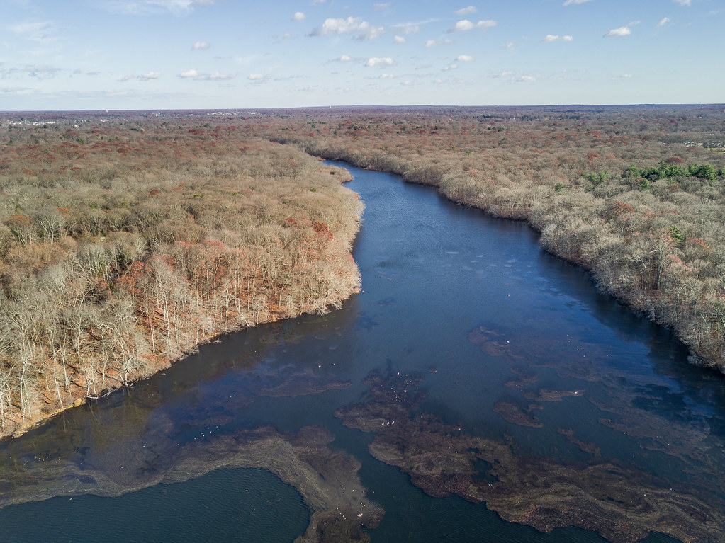 Photo: J.Feinberg Photography, CC BY 2.0 (via Flickr)
- 4.2 mi
- one way
- 64 ft
- climb
- 70 ft
- high point
- Point to point
- route
- Apr–Oct
- best months
The Blydenburgh Blue Trail is a short, easy hike on county land in New York, stretching about 4 miles with a total elevation gain of just over 60 feet. It is a point-to-point route, and the highest point along the way reaches about 70 feet, with the steepest stretch near the start at about 6%. The trail lies on County of Suffolk land, managed by the county. Bikes and horses are not allowed on this route, so plan on walking. Late spring and early fall are the most comfortable times to go. Typical averages from a nearby weather station in Islip run to highs around 68°F in May and 75°F in September, with summer highs in the low 80s and winter lows near freezing. Several other trails sit within a mile, including the Fire Road and Orange Trail, and the Half Mile Nature Trail is about 0.8 miles away. For climbing, the Kings Park Bluff Boulder is roughly 4 miles off.
Local outfitters
- Pier 13 Hoboken42 mi away
Not on Roamze yet. Their page has how to reach them.
 Fire RoadHikingPhoto: J.Feinberg Photography, CC BY 2.0 (via Flickr)0.6 mi
- Orange TrailHikingPhoto: J.Feinberg Photography, CC BY 2.0 (via Flickr)0.6 mi
- Half Mile Nature TrailHikingPhoto: J.Feinberg Photography, CC BY 2.0 (via Flickr)0.8 mi
- Green TrailHikingPhoto: J.Feinberg Photography, CC BY 2.0 (via Flickr)0.9 mi
- Yellow TrailHikingPhoto: J.Feinberg Photography, CC BY 2.0 (via Flickr)0.9 mi
- Red TrailHiking1.2 mi
- Kings Park Bluff BoulderRock climbing4.2 mi
- Long Island Shoreline RouteCanoeing9.9 mi
Source: Roamze catalog (indexable pages within 10 miles, PostGIS distance)
- Fire RoadHiking · Next doorPhoto: J.Feinberg Photography, CC BY 2.0 (via Flickr)
 Long Island Greenbelt TrailHiking · ~8 min drivePhoto: Knowitall1001, CC BY-SA 3.0 (via Wikimedia Commons)
- Main LoopHiking · ~11 min drive
- Orange TrailHiking · Next doorPhoto: J.Feinberg Photography, CC BY 2.0 (via Flickr)
- Yellow TrailHiking · ~11 min drive
- Half Mile Nature TrailHiking · ~1 min drivePhoto: J.Feinberg Photography, CC BY 2.0 (via Flickr)
- Green TrailHiking · ~1 min drivePhoto: J.Feinberg Photography, CC BY 2.0 (via Flickr)
- Yellow TrailHiking · ~2 min drivePhoto: J.Feinberg Photography, CC BY 2.0 (via Flickr)
- Wetland TrailHiking · ~8 min drivePhoto: Knowitall1001, CC BY-SA 3.0 (via Wikimedia Commons)
 Dog Walking TrailHiking · ~17 min drivePhoto: Bobby17543, CC BY-SA 3.0 (via Wikimedia Commons)
Best time to visit Blydenburgh Blue Trail
Best months: April–October. Best months have typical highs of 55–85 °F, lows of 30 °F or warmer (32 °F where the station doesn't record snow), at most one snowy day and no more than 12 wet days.
Jan
39° / 25°
11 wet · 4 snow
Feb
41° / 26°
10 wet · 4 snow
Mar
48° / 32°
11 wet · 3 snow
Apr
58° / 41°
11 wet
May
68° / 51°
11 wet
Jun
77° / 61°
10 wet
Jul
83° / 67°
9 wet
Aug
81° / 66°
9 wet
Sep
75° / 59°
8 wet
Oct
64° / 47°
9 wet
Nov
54° / 38°
10 wet · 1 snow
Dec
44° / 30°
12 wet · 2 snow
Typical high / low (°F) and days with rain or snow, 1991–2020. Measured at Islip Li Macarthur Ap, NY, 7.4 mi away at 84 ft. Source: NOAA NCEI U.S. Climate Normals 1991–2020.
Map and trail data © OpenStreetMap contributors
