Long Island Shoreline Route
- Apr–Oct
- best months
The Long Island Shoreline Route is a canoeing route in Heckscher State Park in New York, managed by State Park and Recreation. It is a paddling route along the park's shoreline, and the closest trail is the Dog Walking Trail, about 0.1 mile away. Summer is the most comfortable time to paddle. Typical averages from a nearby weather station at Molloy show July and August highs around 80°F with lows near 70°F, while winter highs stay in the 30s and 40s. Several short walks sit within a few miles, including the Canine Loop and Fitness Trail at about 5 miles and the Roosevelt Family Walking Trail at about 6 miles.
Local outfitters
- Skyline Cruises36 mi away
- North Brooklyn Community Boathouse41 mi away
Not on Roamze yet. Their page has how to reach them.
 Dog Walking TrailHikingPhoto: Bobby17543, CC BY-SA 3.0 (via Wikimedia Commons)0.1 mi
 Canine LoopHikingPhoto: terryballard, CC BY 2.0 (via Flickr)5.2 mi
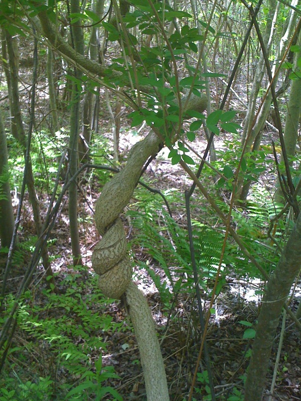 Fitness TrailHikingPhoto: MarketMeSuite, CC BY 2.0 (via Flickr)5.2 mi
- Roosevelt Family Walking TrailHiking5.9 mi
- Orange Loop TrailHiking7.2 mi
- White Loop TrailHiking7.3 mi
- Blue TrailHiking7.3 mi
- Avoid Mud 2Hiking7.9 mi
Source: Roamze catalog (indexable pages within 10 miles, PostGIS distance)
 Bronx RiverCanoeing · ~1h 7m drivePhoto: Jim.henderson, Public domain (via Wikimedia Commons)
- Town of Brookhaven Boat RampBoat launch · ~30 min drive
- Camp Gateway - Sandy HookStand up paddleboarding · ~1h 20m drive
 Still RiverCanoeing · ~1h 25m drivePhoto: Pedro Xing, CC0 (via Wikimedia Commons)
- Wading River Boat RampBoat launch · ~42 min drive
- South Shore BluewayCanoeing · ~38 min drive
- Long Beach Recreation Center Boat LaunchBoat launch · ~46 min drive
- Bronx River BluewayCanoeing · ~1h 5m drive
- Manorahaven Park Boat RampBoat launch · ~51 min drive
- New York City Water TrailCanoeing · ~1h 5m drive
Best time to visit Long Island Shoreline Route
Best months: April–October. Best months have typical highs of 55–85 °F, lows of 30 °F or warmer (32 °F where the station doesn't record snow), at most one snowy day and no more than 12 wet days.
Jan
39° / 26°
Feb
40° / 27°
Mar
46° / 33°
Apr
56° / 43°
May
64° / 52°
Jun
74° / 62°
Jul
80° / 70°
Aug
80° / 69°
Sep
73° / 61°
Oct
63° / 49°
Nov
53° / 40°
Dec
44° / 32°
Typical high / low (°F) and days with rain or snow, 1991–2020. Measured at Molloy Cercom, NY, 4.6 mi away at 5 ft. This station doesn't record snowfall. Source: NOAA NCEI U.S. Climate Normals 1991–2020.
Map and trail data © OpenStreetMap contributors
