Black Tupelo Trail
 Photo: RSLab, CC BY 2.0 (via Flickr)
- 0.9 mi
- round trip
- 175 ft
- climb
- 55 ft
- high point
- Out and back
- route
- Apr, Jun–Oct
- best months
Black Tupelo Trail is a short, easy out-and-back hike of about 1.8 miles on Wertheim National Wildlife Refuge in New York, managed by the U.S. Fish and Wildlife Service. The trail gains about 175 feet in elevation over the round trip, with the steepest stretch at about 0.79 miles in, where the grade reaches 3%. The high point is 55 feet above the starting elevation of 37 feet, and the total descent mirrors the climb. Late spring and early fall are the most comfortable times to go. Typical averages from a nearby weather station run from highs around 68°F with lows near 49°F in May to highs around 74°F with lows near 57°F in September. Summer is warmer, with July highs averaging about 83°F. The hike takes about half an hour. White Oak Trail is just 0.3 miles away, and the Blue Trail and Yellow Trail are each about 3.3 miles off. The Terrell River Trail is roughly 5.6 miles away.
- White Oak TrailHikingPhoto: RSLab, CC BY 2.0 (via Flickr)0.3 mi
- Blue Trail AdditionHiking2.9 mi
- Blue TrailHiking3.3 mi
- Yellow TrailHiking3.3 mi
- CMHS TrailHiking4.1 mi
- Terrell River TrailHiking5.6 mi
- Barlette Rd LoopHiking5.9 mi
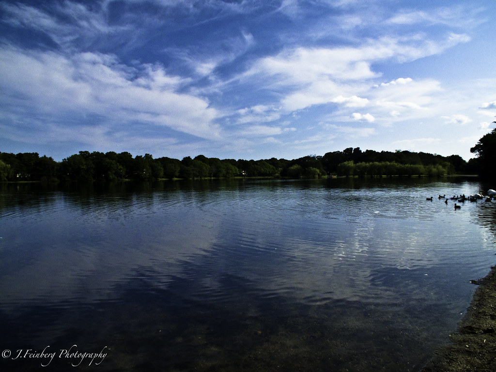 Prosser Pines Hiking TrailsHikingPhoto: J.Feinberg Photography, CC BY 2.0 (via Flickr)6.1 mi
Source: Roamze catalog (indexable pages within 10 miles, PostGIS distance)
- White Oak TrailHiking · Next doorPhoto: RSLab, CC BY 2.0 (via Flickr)
- Raymond P. Corwin TrailHiking · ~12 min drivePhoto: J.Feinberg Photography, CC BY 2.0 (via Flickr)
- Rocky Point Mountain Bike TrailHiking · ~15 min drive
- Black Tupelo TrailHiking · ~2 min drivePhoto: RSLab, CC BY 2.0 (via Flickr)
- Overton Moutain Bike TrailHiking · ~13 min drive
- Mannorville Hills Mountain Bike TrailHiking · ~16 min drive
- Prosser Pines Hiking TrailsHiking · ~10 min drivePhoto: J.Feinberg Photography, CC BY 2.0 (via Flickr)
- Rocky Point Red TrailHiking · ~15 min drive
 Cathedral Pines Mountain Bike TrailHiking · ~11 min drivePhoto: Dougtone, CC BY-SA 2.0 (via Flickr)
- Eastport Mountainbike TrailHiking · ~15 min drive
Best time to visit Black Tupelo Trail
Best months: April and June–October. Best months have typical highs of 55–85 °F, lows of 30 °F or warmer (32 °F where the station doesn't record snow), at most one snowy day and no more than 12 wet days.
Jan
39° / 24°
11 wet
Feb
41° / 25°
10 wet
Mar
47° / 31°
11 wet
Apr
58° / 40°
12 wet
May
68° / 49°
13 wet
Jun
77° / 59°
11 wet
Jul
83° / 66°
10 wet
Aug
81° / 65°
11 wet
Sep
74° / 57°
11 wet
Oct
64° / 46°
12 wet
Nov
54° / 37°
11 wet
Dec
44° / 29°
12 wet
Typical high / low (°F) and days with rain or snow, 1991–2020. Measured at Shirley Brookhaven Ap, NY, 2.1 mi away at 82 ft. This station doesn't record snowfall. Source: NOAA NCEI U.S. Climate Normals 1991–2020.
Map and trail data © OpenStreetMap contributors
