Capmpsite Lean to #11
Campground
Campground · 6.7 mi from the trail
Red Trail is a short, easy hike in New York, about 0.6 miles long and roughly 105 feet of elevation gain from start to finish. It is a point-to-point route, and the climb is front-loaded, with the steepest stretch at about 0.07 miles from the start. The trail begins at an elevation of about 622 feet and reaches a high point of about 671 feet before descending to a low of about 550 feet. The nearest town is Dingle, about 0.8 miles away. The route is part of a network of trails in the area, and the White Trail lies just 0.1 miles away. Summer is the most comfortable time to go. Typical averages from a nearby weather station in Danbury, Connecticut, show July highs around 82°F with lows near 62°F, while winter highs stay in the 30s. The trip takes about half an hour. The White Trail is the closest neighbor, and the Yellow Trail is about 2.3 miles away. Mountain Lakes, a climbing area, is about 2.8 miles off, and the Old Sib Preserve Loop is about 2.9 miles away.
Capmpsite Lean to #11
Campground
 If it rainsⱮ, CC BY-SA 4.0 · Wikimedia Commons
Places © OpenStreetMap contributors, Places © Overture Maps Foundation · Photos: Ɱ, CC BY-SA 4.0 (commons)
More in Mount KiscoNot on Roamze yet. Their page has how to reach them.
 Yellow TrailHikingPhoto: usf1fan2, CC BY 2.0 (via Flickr)2.3 mi
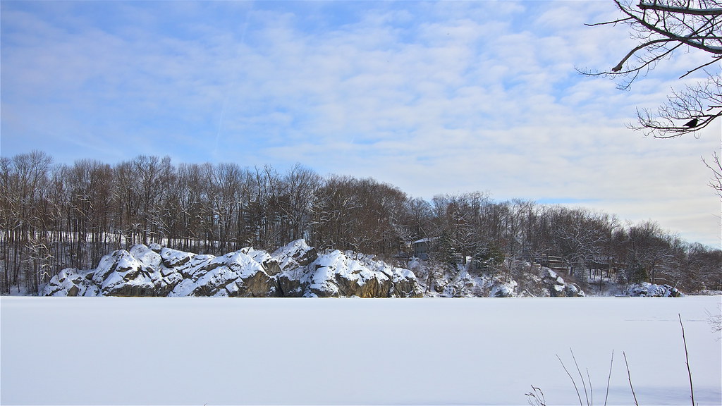 Old Sib Preserve LoopHikingPhoto: Chrisbkes, CC BY 2.0 (via Flickr)2.9 mi
 Old Sib TrailHikingPhoto: Chrisbkes, CC BY 2.0 (via Flickr)3 mi
 Still RiverCanoeingPhoto: Pedro Xing, CC0 (via Wikimedia Commons)5.7 mi
 Bike Trail BoulderRock climbingPhoto: Russ Nelson, CC BY-SA 2.0 (via Flickr)5.9 mi
Source: Roamze catalog (indexable pages within 10 miles, PostGIS distance)
White TrailHiking · ~3 min drivePhoto: usf1fan2, CC BY 2.0 (via Flickr)White TrailHiking · ~4 min drivePhoto: usf1fan2, CC BY 2.0 (via Flickr)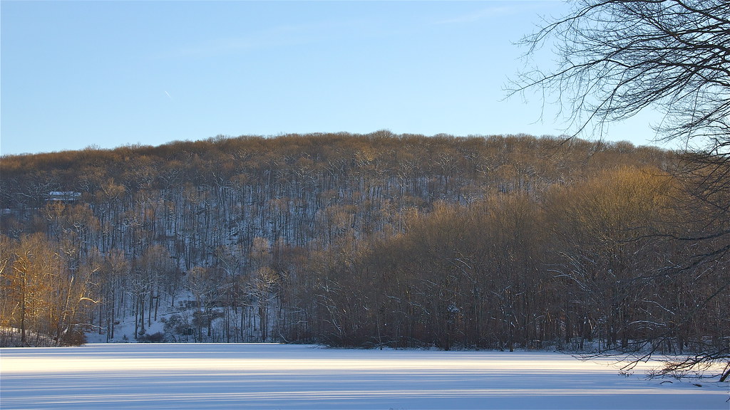 Pierrepont Park TrailHiking · ~9 min drivePhoto: Chrisbkes, CC BY 2.0 (via Flickr)Old Sib Preserve LoopHiking · ~5 min drivePhoto: Chrisbkes, CC BY 2.0 (via Flickr)Yellow TrailHiking · ~4 min drivePhoto: usf1fan2, CC BY 2.0 (via Flickr)Old Sib TrailHiking · ~5 min drivePhoto: Chrisbkes, CC BY 2.0 (via Flickr)White TrailHiking · ~6 min drivePhoto: Chrisbkes, CC BY 2.0 (via Flickr)Blue TrailHiking · ~5 min drivePhoto: Chrisbkes, CC BY 2.0 (via Flickr)Yellow TrailHiking · ~5 min drivePhoto: Chrisbkes, CC BY 2.0 (via Flickr)
Best months: April. Best months have typical highs of 55–85 °F, lows of 30 °F or warmer (32 °F where the station doesn't record snow), at most one snowy day and no more than 12 wet days.
Jan
36° / 18°
11 wet
Feb
39° / 20°
10 wet
Mar
47° / 27°
11 wet
Apr
59° / 37°
12 wet
May
69° / 46°
14 wet
Jun
78° / 56°
13 wet
Jul
82° / 62°
13 wet
Aug
80° / 60°
14 wet
Sep
74° / 52°
14 wet
Oct
62° / 41°
13 wet
Nov
51° / 31°
11 wet
Dec
41° / 24°
12 wet
Typical high / low (°F) and days with rain or snow, 1991–2020. Measured at Danbury Muni Ap, CT, 5.4 mi away at 457 ft. This station doesn't record snowfall. Source: NOAA NCEI U.S. Climate Normals 1991–2020.
Map and trail data © OpenStreetMap contributors
