Pine Pond Trail
- 4.7 mi
- round trip
- 1,148 ft
- climb
- 2,212 ft
- high point
- Out and back
- route
- May–Sep
- best months
Clear today
Weather is good · OpenWeather · checked just now
Pine Pond Trail is a 9.34-mile out-and-back hike in New York with 1,148 feet of elevation gain and loss. The trail reaches a maximum elevation of 2,212 feet.
Local outfitters
- Cloudsplitter Outfitters20 mi away
- Great Camp Sagamore41 mi away
Not on Roamze yet. Their page has how to reach them.
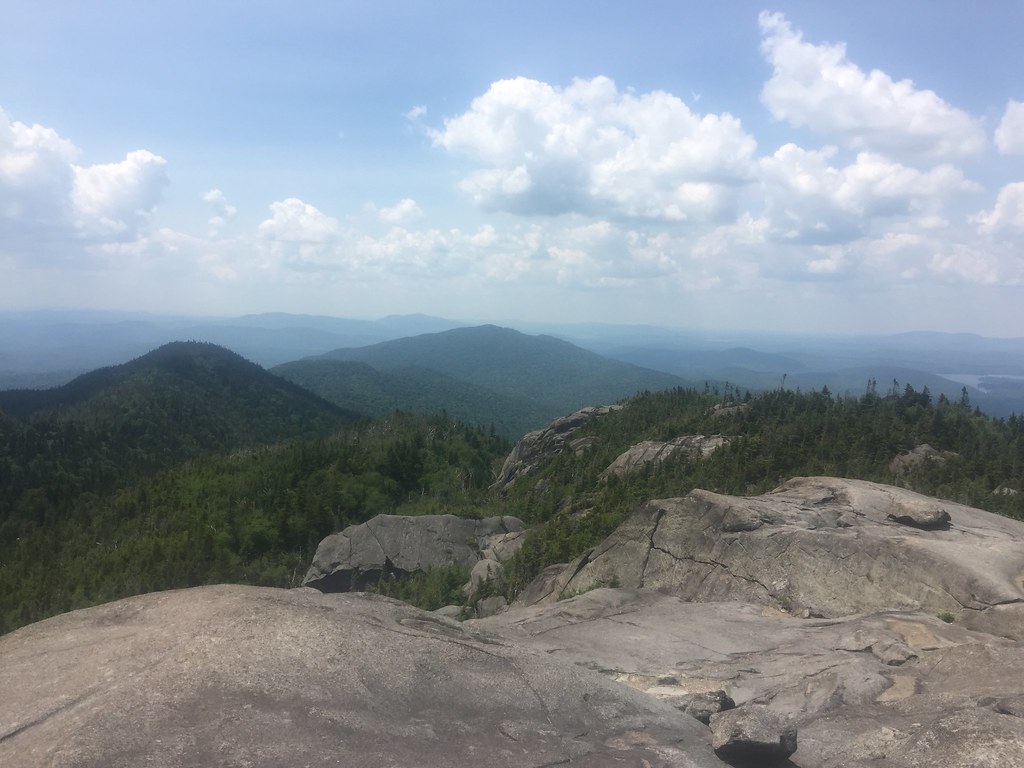 Ampersand Mountain TrailHikingPhoto: runJMrun — CC BY 2.0 (via Flickr)3.3 mi
- Scarface Mountain TrailHiking3.4 mi
 Adirondack Rail TrailHikingPhoto: New York Public Library, No restrictions (via Wikimedia Commons)4.1 mi
- Bluff IslandRock climbing4.4 mi
- Front BoulderRock climbing4.4 mi
- Fourth SetRock climbing4.6 mi
- Lower Saranac LakeLake fishing4.8 mi
- West Branch Ausable RiverCanoeing9.6 mi
Source: Roamze catalog (indexable pages within 10 miles, PostGIS distance)
- Ampersand Mountain TrailHiking · ~6 min drivePhoto: runJMrun — CC BY 2.0 (via Flickr)
- Adirondack Rail TrailHiking · ~7 min drivePhoto: New York Public Library, No restrictions (via Wikimedia Commons)
- Jackrabbit TrailHiking · ~10 min drive
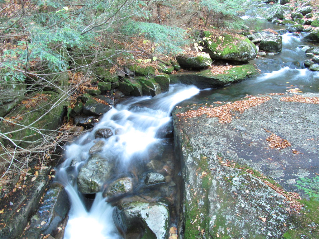 Old Northville-Placid TrailHiking · ~9 min drivePhoto: ke9tv, CC BY-SA 2.0 (via Flickr)
 SorryHiking · ~8 min drivePhoto: New York Public Library, No restrictions (via Wikimedia Commons)
 Preston Ponds TrailHiking · ~13 min drivePhoto: ke9tv — CC BY-SA 2.0 (via Flickr)
- West Side Snowshoe TrailHiking · ~8 min drivePhoto: New York Public Library, No restrictions (via Wikimedia Commons)
 Bradley Pond TrailHiking · ~13 min drivePhoto: ke9tv, CC BY-SA 2.0 (via Flickr)
- Mumbly PegHiking · ~8 min drivePhoto: New York Public Library, No restrictions (via Wikimedia Commons)
- Scarface Mountain TrailHiking · ~6 min drive
Best time to visit Pine Pond Trail
Best months: May–September. Best months have typical highs of 55–85 °F, lows of 30 °F or warmer (32 °F where the station doesn't record snow), at most one snowy day and no more than 12 wet days.
Jan
23° / 5°
Feb
25° / 5°
Mar
34° / 14°
Apr
48° / 27°
May
61° / 39°
Jun
70° / 49°
Jul
74° / 53°
Aug
72° / 51°
Sep
66° / 44°
Oct
52° / 36°
Nov
40° / 26°
Dec
27° / 15°
Typical high / low (°F) and days with rain or snow, 1991–2020. Measured at Ray Brook, NY, 3.7 mi away at 1,620 ft. The station sits about 600 ft lower than this place, so expect it a little cooler here. This station doesn't record snowfall. Source: NOAA NCEI U.S. Climate Normals 1991–2020.

Map and trail data © OpenStreetMap contributors
