New York · Hiking
Newcastle Trail
 Photo: sillygwailo, CC BY 2.0 (via Flickr)
- 3.2 mi
- one way
- 839 ft
- climb
- Point to point
- route
- Easy
- difficulty
Loading this week's forecast
Newcastle Trail is a 3.2-mile hike in New York, with a total elevation gain of 839 feet. It is a point-to-point route, not a loop, and the climb is the most notable feature. The trail starts at about 315 feet and reaches a high point of 329 feet before descending to a low point of 259 feet, so it has both a climb and a drop. The steepest section comes in the first 0.4 miles, with a grade of about 6 percent. The route is rated easy, and the trip should take about 1.5 hours. Bikes and horses are not allowed, so plan on walking. The nearest town is Lighthouse Beach, about 45 miles away.
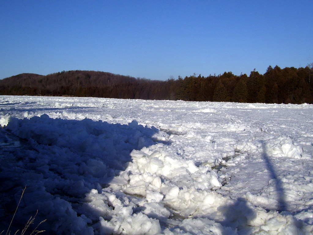 Batawa Riverfront TrailHiking · ~22 min drivePhoto: Bobolink, CC BY 2.0 (via Flickr)
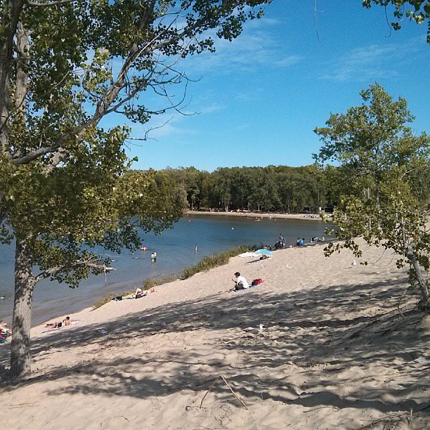 Sandbanks Dunes TrailHiking · ~37 min drivePhoto: mathewingram, CC BY 2.0 (via Flickr)
 Trans Canada TrailHiking · ~1h 5m drivePhoto: Community Archives, Public domain (via Wikimedia Commons)
 Gunpo TrailHiking · ~31 min drivePhoto: Community Archives, Public domain (via Wikimedia Commons)
- Hastings Heritage TrailHiking · ~36 min drive
- Trans Canada Trail ConnectionHiking · ~53 min drive
 Trans Canada TrailHiking · ~35 min drivePhoto: Bobolink, CC BY 2.0 (via Flickr)
- Scenic River Road TrailHiking · ~1h 10m drive
- Trans Canada TrailHiking · ~1h 5m drive
 Trans Canada TrailHiking · ~37 min drivePhoto: sillygwailo, CC BY 2.0 (via Flickr)
Map and trail data © OpenStreetMap contributors
