Trans Canada Trail
 Photo: sillygwailo, CC BY 2.0 (via Flickr)
- 1.3 mi
- round trip
- 159 ft
- climb
- Out and back
- route
- Easy
- difficulty
The Trans Canada Trail in New York is a short, easy outing of about 2.6 miles out and back, with a total climb of 159 feet and a high point of 542 feet. The trail starts at an elevation of about 519 feet, and the route remains mostly flat, with the steepest stretch at about 1.2 miles in, where the grade reaches 3%. It is a low-effort walk that makes a quick addition to a day spent exploring the surrounding area. The trip is estimated to take about an hour, and the trail is rated easy, so it works well as a short stop or a warm-up before heading to other destinations. The route covers a little over a mile and a half in each direction, so plan for a round trip of about 2.6 miles. For more walking nearby, the Hastings Heritage Trail is about 9 miles away, and the Trans Canada Trail Connection is about 9.3 miles away.
Source: Roamze catalog (indexable pages within 10 miles, PostGIS distance)
 Trans Canada TrailHiking · ~13 min drivePhoto: Bobolink, CC BY 2.0 (via Flickr)
 Trans Canada TrailHiking · ~45 min drivePhoto: Community Archives, Public domain (via Wikimedia Commons)
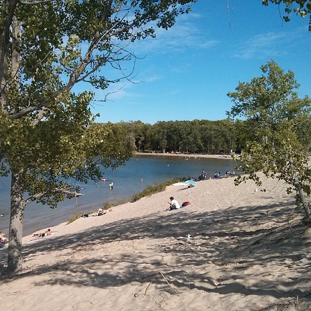 Sandbanks Dunes TrailHiking · ~1h 4m drivePhoto: mathewingram, CC BY 2.0 (via Flickr)
- Trans Canada TrailHiking · ~1h 10m drive
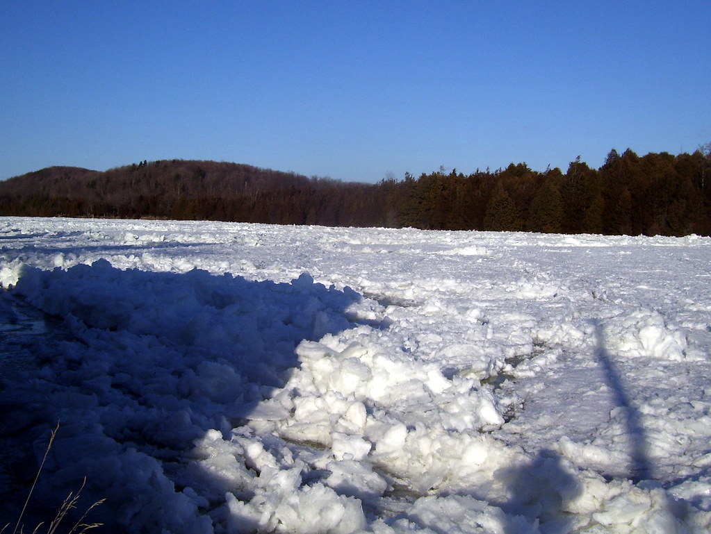 Batawa Riverfront TrailHiking · ~22 min drivePhoto: Bobolink, CC BY 2.0 (via Flickr)
- Trans Canada Trail ConnectionHiking · ~16 min drive
- Hastings Heritage TrailHiking · ~16 min drive
 Newcastle TrailHiking · ~37 min drivePhoto: sillygwailo, CC BY 2.0 (via Flickr)
- Trans Canada TrailHiking · ~45 min drive
- Scenic River Road TrailHiking · ~44 min drive

Map and trail data © OpenStreetMap contributors
