New York · Hiking
Gunpo Trail
 Photo: Community Archives, Public domain (via Wikimedia Commons)
- 1.6 mi
- round trip
- 338 ft
- climb
- Out and back
- route
- Easy
- difficulty
Clear today
Weather is good · OpenWeather · checked 9 h ago
Loading this week's forecast
Gunpo Trail is an easy, short hike in New York, about 1.6 miles long with a total elevation gain of 338 feet. The route is an out-and-back that starts and ends at roughly 255 feet and reaches a high point of 264 feet, so the climb is steady and the grade never rises above 2% at its steepest stretch, about a mile into the trail. The trip takes about an hour, and the trail is close to several other walking routes. Jack Ellis Trail is just 0.3 miles away, and Riverfront Trail is about 1.6 miles off. Batawa Riverfront Trail lies roughly 10 miles away.
- Jack Ellis TrailHiking0.3 mi
- Riverfront TrailHiking1.6 mi
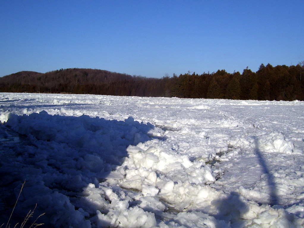 Batawa Riverfront TrailHikingPhoto: Bobolink, CC BY 2.0 (via Flickr)9.9 mi
Source: Roamze catalog (indexable pages within 10 miles, PostGIS distance)
- Batawa Riverfront TrailHiking · ~17 min drivePhoto: Bobolink, CC BY 2.0 (via Flickr)
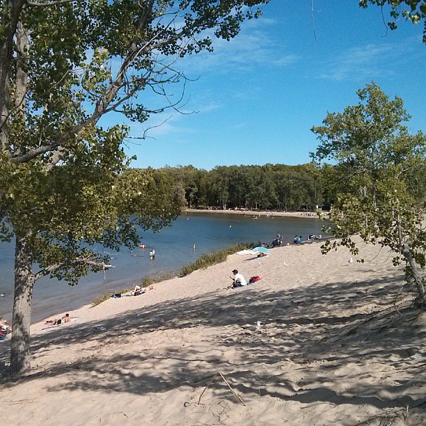 Sandbanks Dunes TrailHiking · ~31 min drivePhoto: mathewingram, CC BY 2.0 (via Flickr)
 Trans Canada TrailHiking · ~39 min drivePhoto: Community Archives, Public domain (via Wikimedia Commons)
- Trans Canada TrailHiking · ~1h 4m drive
 Trans Canada TrailHiking · ~26 min drivePhoto: Bobolink, CC BY 2.0 (via Flickr)
- Hastings Heritage TrailHiking · ~24 min drive
- Trans Canada TrailHiking · ~39 min drive
 Newcastle TrailHiking · ~31 min drivePhoto: sillygwailo, CC BY 2.0 (via Flickr)
- Rt K&p Blue LoopHiking · ~1h 18m drive
- Trans Canada Trail ConnectionHiking · ~49 min drive

Map and trail data © OpenStreetMap contributors
