Trans Canada Trail Connection
- 9.8 mi
- round trip
- 414 ft
- climb
- Out and back
- route
- Hard
- difficulty
Clear today
Weather is good · OpenWeather · checked 7 h ago
The Trans Canada Trail Connection is a long, out-and-back route in New York that links up with the Trans Canada Trail. The trip covers about 19.6 miles, with a round-trip elevation gain of 414 feet and a high point of 707 feet. The route starts at an elevation of 653 feet, and the steepest section comes at about 6.4 miles in, with a grade of roughly 5 percent. The trail is rated hard, and the estimated time is about 6.5 hours. The climb is flat overall, though the route reaches a low of 577 feet before climbing back up to the high point. That makes the Trans Canada Trail Connection a full-day commitment rather than a short outing. The Trans Canada Trail itself lies about 9.3 miles away and makes a natural pairing for anyone extending the trip.
Source: Roamze catalog (indexable pages within 10 miles, PostGIS distance)
 Trans Canada TrailHiking · ~16 min drivePhoto: sillygwailo, CC BY 2.0 (via Flickr)
 Trans Canada TrailHiking · ~43 min drivePhoto: Community Archives, Public domain (via Wikimedia Commons)
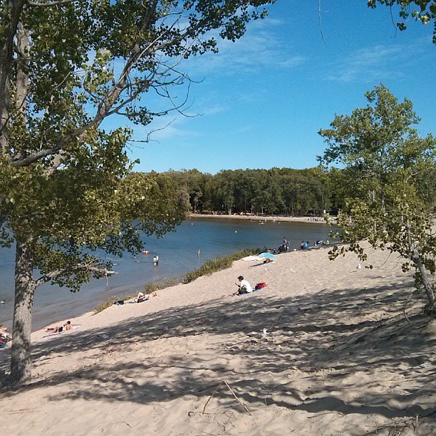 Sandbanks Dunes TrailHiking · ~1h 18m drivePhoto: mathewingram, CC BY 2.0 (via Flickr)
- Trans Canada TrailHiking · ~1h 5m drive
- Christy TrailHiking · ~1h 16m drive
 Trans Canada TrailHiking · ~23 min drivePhoto: Bobolink, CC BY 2.0 (via Flickr)
- Trans Canada TrailHiking · ~43 min drive
- Hastings Heritage TrailHiking · ~25 min drive
- Gerry Whyte Plant Identification TrailHiking · ~1h 16m drive
 Blue TrailHiking · ~31 min drivePhoto: hobvias sudoneighm from Seattle, United States of America, CC BY 2.0 (via Wikimedia Commons)

Map and trail data © OpenStreetMap contributors
