Camps Baco & Che-Na-Wa
Campground
Campground · 5.7 mi from the trail
Marion Pond trail is an out-and-back hike in New York's Hoffman Notch Wilderness, managed by the State Department of Conservation. The route is about 3.4 miles long, with a total elevation gain of 758 feet, and it starts and ends at roughly 1,684 feet. The high point on the trail reaches about 2,338 feet, and the climb is front-loaded, with the steepest stretch at about a mile in, where the grade reaches 26 percent. Summer is the most comfortable time to go. Typical averages from a nearby weather station in Newcomb, NY, show July highs around 77°F with lows near 53°F, and the station sits about 691 feet lower than the trail's high point, so temperatures up top run cooler. The trip takes about 1.5 hours. The trail lies within the Hoffman Notch Wilderness, and the Huffman Notch Trail and Loch Mueller are both within about a mile and a half. Ragged Mountain, a climbing area, is about 6 miles away.
Camps Baco & Che-Na-Wa
Campground
Schroon Lake view
Viewpoint
Places © OpenStreetMap contributors, Places © Overture Maps Foundation
More in Schroon LakeNot on Roamze yet. Their page has how to reach them.
Source: Roamze catalog (indexable pages within 10 miles, PostGIS distance)
 Jones Hill - Hoffman Notch WildernessHiking · ~9 min drivePhoto: Andy Arthur, CC BY 2.0 (via Wikimedia Commons)
 Lindsey Marsh trailHiking · ~9 min drivePhoto: Andy Arthur, CC BY 2.0 (via Wikimedia Commons)
 Short Swing TrailHiking · ~21 min drivePhoto: Andy Arthur, CC BY 2.0 (via Wikimedia Commons)
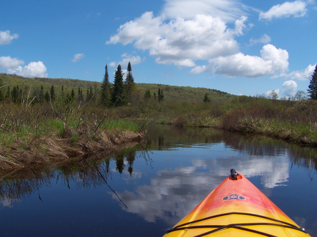 Wolf Pond TrailHiking · ~9 min drivePhoto: andyarthur, CC BY 2.0 (via Flickr)Boreas Loop TrailHiking · ~10 min drivePhoto: Andy Arthur, CC BY 2.0 (via Wikimedia Commons)
 Raymond Brook Ski TrailHiking · ~22 min drivePhoto: Russ Nelson, CC BY-SA 2.0 (via Flickr)
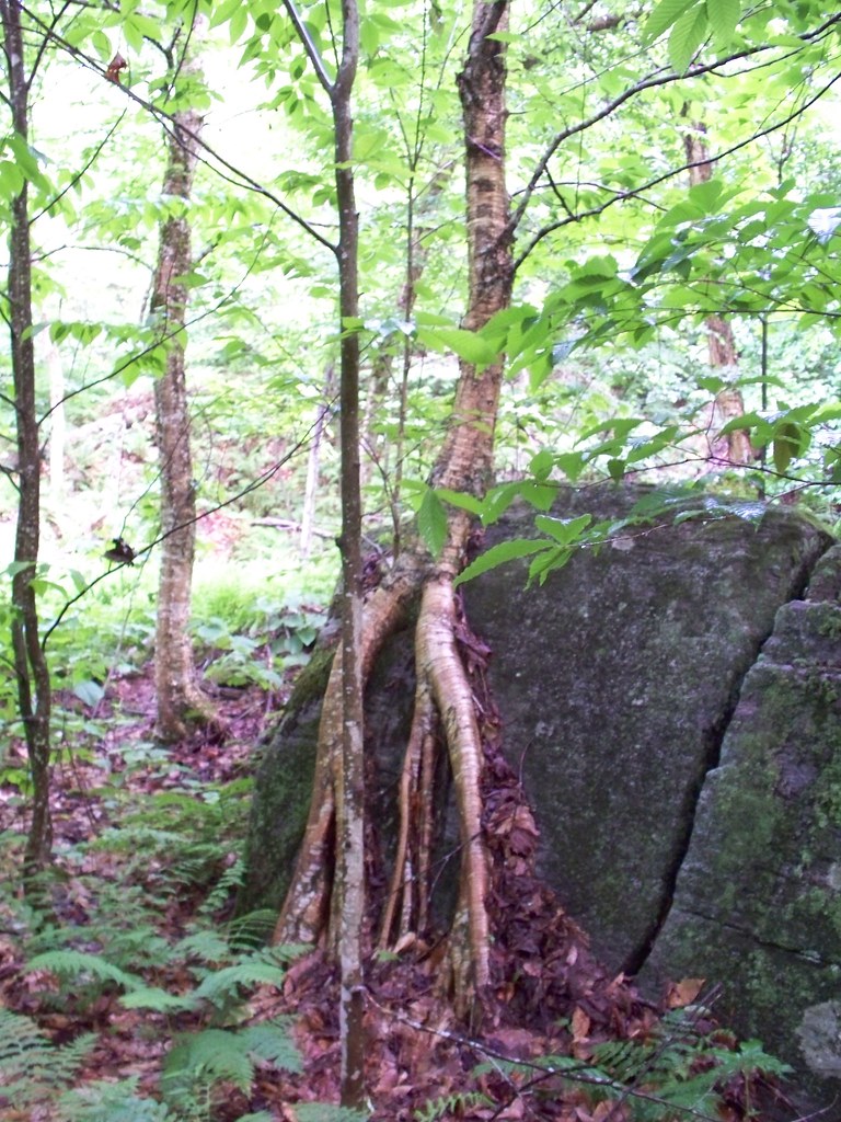 Stony Pond TrailHiking · ~11 min drivePhoto: Jacob Honeyhume, CC BY-SA 2.0 (via Flickr)
 Hammond Pond Wild Forest TrailHiking · ~15 min drivePhoto: Idawriter, CC BY-SA 3.0 (via Wikimedia Commons)
 Roosevelt Truck TrailHiking · ~11 min drivePhoto: Andy Arthur, CC BY 2.0 (via Wikimedia Commons)
Best months: August–September. Best months have typical highs of 55–85 °F, lows of 30 °F or warmer (32 °F where the station doesn't record snow), at most one snowy day and no more than 12 wet days.
Jan
26° / 4°
17 wet
Feb
29° / 4°
13 wet
Mar
37° / 13°
13 wet
Apr
50° / 27°
12 wet
May
64° / 39°
13 wet
Jun
72° / 49°
13 wet
Jul
77° / 53°
13 wet
Aug
74° / 52°
12 wet
Sep
67° / 44°
11 wet
Oct
54° / 34°
14 wet
Nov
41° / 24°
14 wet
Dec
31° / 12°
16 wet
Typical high / low (°F) and days with rain or snow, 1991–2020. Measured at Newcomb, NY, 17.3 mi away at 1,647 ft. The station sits about 700 ft lower than this place, so expect it a little cooler here. This station doesn't record snowfall. Source: NOAA NCEI U.S. Climate Normals 1991–2020.
Map and trail data © OpenStreetMap contributors
