Riverfront Trail
- 0.4 mi
- round trip
- 65 ft
- climb
- Out and back
- route
- Easy
- difficulty
The Riverfront Trail is a short, paved out-and-back walk in New York, about 0.39 miles long and rated easy. It sits along the water, with a low-impact route that makes it a good choice for families and casual hikers. The trail connects to the Levee Trail, so it's easy to extend the outing into a longer walk on the surrounding trail network. The route is a steady climb, with a high point of 285 feet and a total gain of 65 feet over the round trip. The steepest stretch comes at about 0.32 miles in, with a grade of about 2 percent. The whole trip takes roughly half an hour. Nearby, the Jack Ellis Trail lies about 1.5 miles away and the Gunpo Trail about 1.6 miles away, both offering more hiking within a short drive.
- Jack Ellis TrailHiking1.5 mi
 Gunpo TrailHikingPhoto: Community Archives, Public domain (via Wikimedia Commons)1.6 mi
Source: Roamze catalog (indexable pages within 10 miles, PostGIS distance)
- Gunpo TrailHiking · ~3 min drivePhoto: Community Archives, Public domain (via Wikimedia Commons)
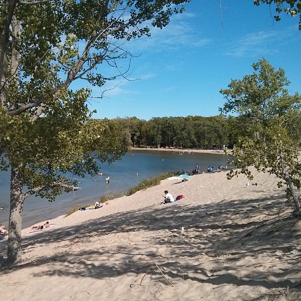 Sandbanks Dunes TrailHiking · ~33 min drivePhoto: mathewingram, CC BY 2.0 (via Flickr)
 Trans Canada TrailHiking · ~37 min drivePhoto: Community Archives, Public domain (via Wikimedia Commons)
- Trans Canada TrailHiking · ~1h 1m drive
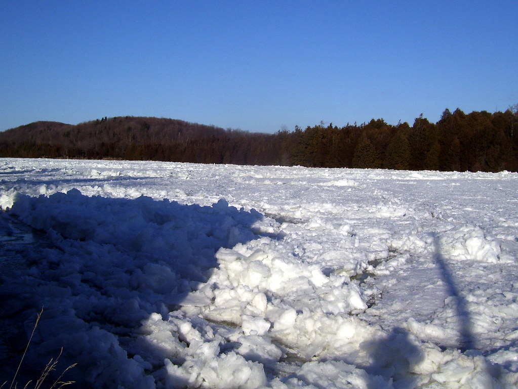 Batawa Riverfront TrailHiking · ~18 min drivePhoto: Bobolink, CC BY 2.0 (via Flickr)
- Hastings Heritage TrailHiking · ~23 min drive
- Trans Canada TrailHiking · ~36 min drive
 Trans Canada TrailHiking · ~25 min drivePhoto: Bobolink, CC BY 2.0 (via Flickr)
- Rt K&p Blue LoopHiking · ~1h 17m drive
- Trans Canada Trail ConnectionHiking · ~48 min drive
Also worth it near here


Map and trail data © OpenStreetMap contributors
