Lake Harris Campground
Campground
Campground · 4.1 mi from the trail
 Photo: Andy Arthur, CC BY 2.0 (via Wikimedia Commons)
Goodnow Mountain Trail is a 2-mile moderate hike in New York, set about 2.5 miles from the town of Newcomb. The trail is an out-and-back, with the high point at 2,697 feet and the start at 1,648 feet, so it adds up to a 1,341-foot climb and the same amount of descent over the full route. The steepest stretch comes around 1.2 miles in at about 22%, making the middle of the trail the most demanding section. Summer is the most comfortable time to go. Typical averages from a nearby weather station in Newcomb show July highs around 77°F with lows near 53°F, while temperatures on the summit run cooler because that station sits roughly 1,050 feet lower. Winter is harsh, with January highs in the mid-20s and lows near 4°F. The trip takes about 2 hours. Bates Pond Trail is about 3.4 miles away, and the Upper Hudson Trail is about 4.6 miles off. Newcomb Lake Road, about 5.1 miles away, is a cross-country skiing option. The Couchsachraga Trail lies about 9.5 miles away.
Lake Harris Campground
Campground
Minerva Historical Society and Museum
Museum
Places © OpenStreetMap contributors
More in Schroon LakeNot on Roamze yet. Their page has how to reach them.
Best months: August–September. Best months have typical highs of 55–85 °F, lows of 30 °F or warmer (32 °F where the station doesn't record snow), at most one snowy day and no more than 12 wet days.
Jan
26° / 4°
17 wet
Feb
29° / 4°
13 wet
Mar
37° / 13°
13 wet
Apr
50° / 27°
12 wet
May
64° / 39°
13 wet
Jun
72° / 49°
13 wet
Jul
77° / 53°
13 wet
Aug
74° / 52°
12 wet
Sep
67° / 44°
11 wet
Oct
54° / 34°
14 wet
Nov
41° / 24°
14 wet
Dec
31° / 12°
16 wet
Typical high / low (°F) and days with rain or snow, 1991–2020. Measured at Newcomb, NY, 0.4 mi away at 1,647 ft. The station sits about 1,100 ft lower than this place, so expect it a little cooler here. This station doesn't record snowfall. Source: NOAA NCEI U.S. Climate Normals 1991–2020.
 Photo: ke9tv, CC BY-SA 2.0 (via Flickr)
Calkins Brook Truck Trail
~15 min drive
9.33-mile point-to-point trail in New York with 1,304 ft elevation gain
 Photo: andyarthur, CC BY 2.0 (via Flickr)
Vanderwhacker Trail
~17 min drive
5.32-mile out-and-back trail in New York with 2,081 ft elevation gain.
Photo: ke9tv, CC BY-SA 2.0 (via Flickr)Northville-Placid Trail Spur to Cold R. Lean-Tos
~15 min drive
0.51-mile out-and-back trail to Cold R. Lean-Tos with 73 ft gain.
 Photo: Andy Arthur, CC BY 2.0 (via Wikimedia Commons)
Roosevelt Truck Trail
~18 min drive
5.12-mile out-and-back trail in New York with 885 ft elevation gain
 Photo: andyarthur, CC BY 2.0 (via Flickr)
Blue Ledges Trail
~19 min drive
2.23-mile point-to-point trail in New York with 726 ft elevation loss
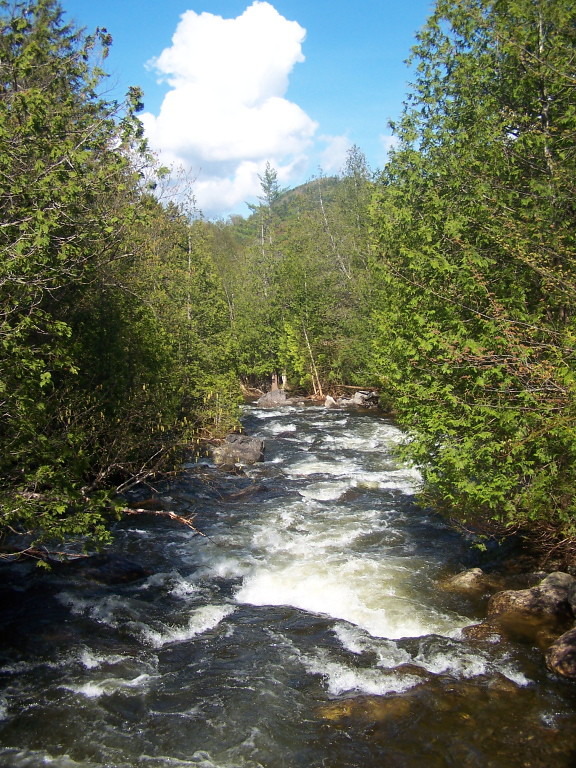 Photo: andyarthur, CC BY 2.0 (via Flickr)
Indian Pass Trail
~20 min drive
9.48-mile point-to-point trail in New York with 1,461 ft gain
 Photo: Andy Arthur, CC BY 2.0 (via Wikimedia Commons)
Boreas Loop Trail
~19 min drive
3.68-mile out-and-back trail in New York with 673 ft elevation gain and loss.
 Photo: Steve Starer, CC BY 2.0 (via Flickr)
Elm Island Trail
~20 min drive
7.38-mile out-and-back trail in New York with 1,410 ft elevation gain.
Photo: Andy Arthur, CC BY 2.0 (via Wikimedia Commons)Lindsey Marsh trail
~21 min drive
3.48-mile out-and-back hike in New York with 675 ft gain/loss
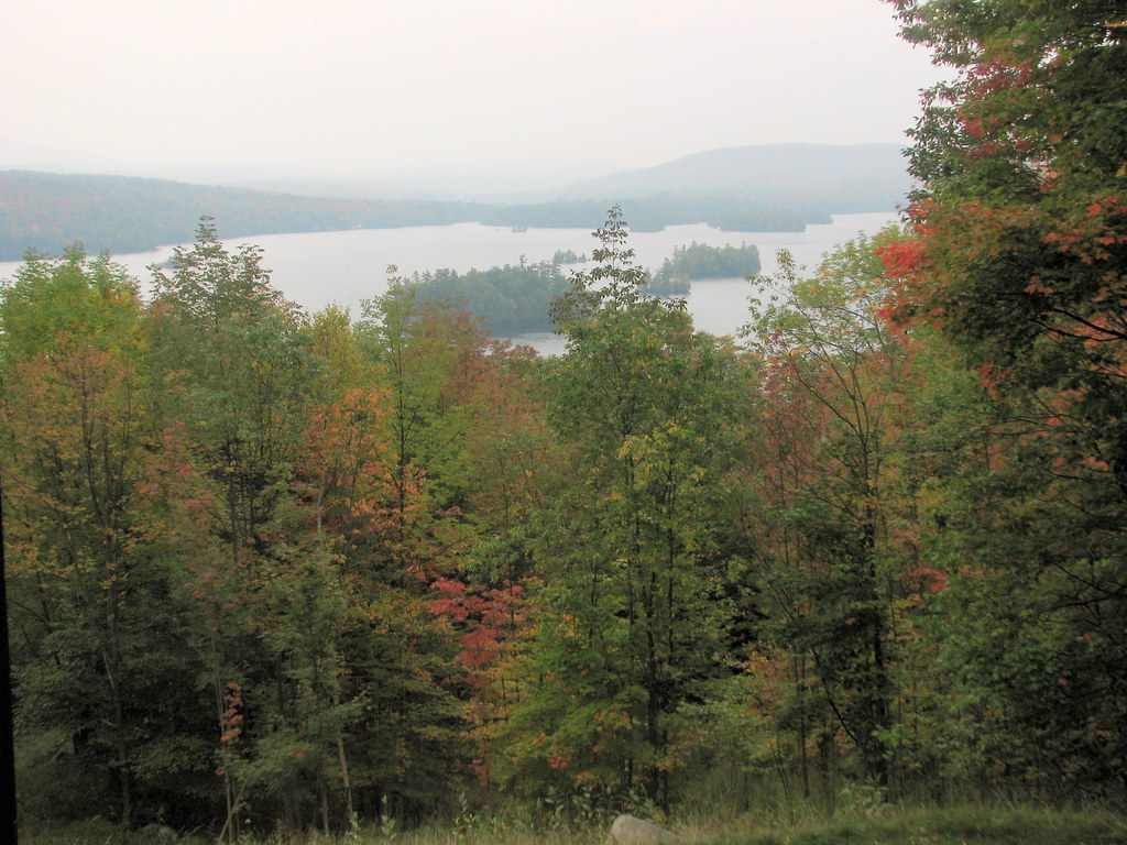 Photo: bobistraveling, CC BY 2.0 (via Flickr)
Tirrell Pond Trail
~22 min drive
5.78-mile out-and-back hike in New York with 1,007 ft elevation gain.
About 2.0 mi round trip.
About 1,341 ft of climbing round trip.
It is rated moderate.
About 1.5 hours round trip.
Daily highs and lows, wind and the chance of precipitation at the summit and route start for the next 7 days, from the Open-Meteo model.
Map and trail data © OpenStreetMap contributors
