Blue Mountain Trail
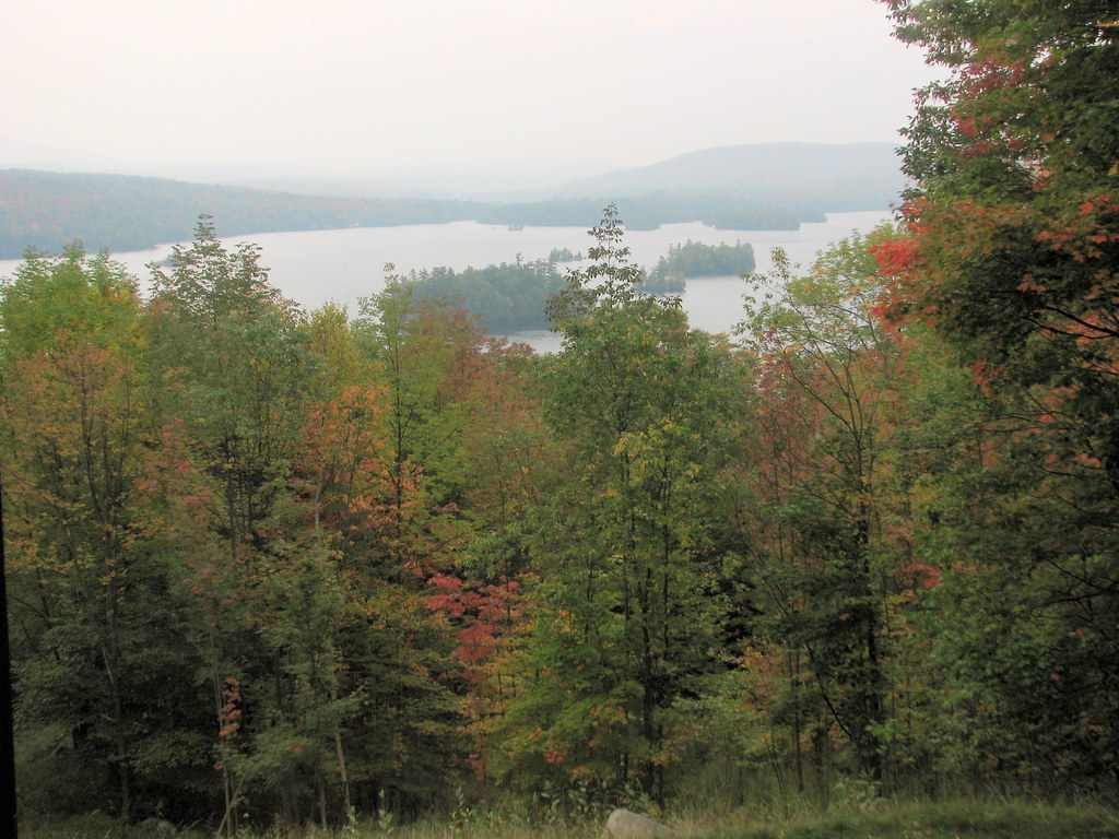 Photo: bobistraveling, CC BY 2.0 (via Flickr)
- 2.0 mi
- one way
- 1,539 ft
- climb
- 3,759 ft
- high point
- Point to point
- route
Blue Mountain Trail is a 2-mile point-to-point hike in New York, rising from about 2,200 feet to a high point of 3,759 feet. The climb is steep, with a total gain of 1,539 feet, and the steepest stretch comes at about 1.4 miles in, where the grade reaches 36%. The trail starts near Blue Mountain Lake, about 1.5 miles away, and the route is rated moderate. The trip takes about 1.5 hours. Tirrell Pond Trail lies just 0.1 mile away, and Castle Rock Trail is about 1.3 miles off. Wilson Pond Trail and Cascade Pond Trail are both within about 3.5 miles.
Local outfitters
- Great Camp Sagamore13 mi away
- Cloudsplitter Outfitters16 mi away
Not on Roamze yet. Their page has how to reach them.
Keep exploring — more trails worth the drive
Photo: bobistraveling, CC BY 2.0 (via Flickr)Castle Rock Trail
~2 min drive
2.45-mile loop in New York with 788 ft gain and 2,394 ft max elevation.
 Photo: sagesolar, CC BY 2.0 (via Flickr)
Wilson Pond Trail
~5 min drive
5.54-mile out-and-back hike in New York with 1,168 ft elevation gain
 Photo: bobistraveling, CC BY 2.0 (via Flickr)
Sucker Brook Trail
~27 min drive
14.02-mile out-and-back hike in New York with 2,322 ft elevation gain
 Photo: ke9tv, CC BY-SA 2.0 (via Flickr)
Dish Rag Pond Trail
~11 min drive
2.18-mile out-and-back trail in New York with 292 ft gain and 2,465 ft max elevation
 Photo: Steve Starer, CC BY 2.0 (via Flickr)
Elm Island Trail
~17 min drive
7.38-mile out-and-back trail in New York with 1,410 ft elevation gain.
 Photo: Steve Starer, CC BY 2.0 (via Flickr)
Paisley Falls ski trail
~16 min drive
2.12-mile out-and-back ski trail in New York with 342 ft elevation gain
 Photo: Andy Arthur, CC BY 2.0 (via Wikimedia Commons)
Wakely Mountain Trail
~17 min drive
5.64-mile out-and-back trail in New York with 1,836 ft gain and 3,747 ft max elevation.
 Photo: Andy Arthur, CC BY 2.0 (via Wikimedia Commons)
Cedar River Trail
~18 min drive
4.32-mile out-and-back trail in New York with 703 ft elevation gain
 Photo: Andy Arthur, CC BY 2.0 (via Wikimedia Commons)
Goodnow Mountain Trail
~22 min drive
2.01-mile out-and-back hike to Goodnow Mountain in New York with 1,335 ft gain.
 Photo: Coasterlover1994, CC BY-SA 4.0 (via Wikimedia Commons)
Watch Hill XC Ski/Foot Loop Trail (Blue)
~22 min drive
2.92-mile out-and-back XC ski/foot out-and-back in New York with 716 ft gain

Route details
- Distance
- 2.0 mi
- Climbing
- About 1,539 ft
- Summit
- 3,761 ft
- Difficulty
- Moderate
- Time
- About 1.5 hours
Questions about this route
How long is the Blue Mountain Trail on Blue Mountain?
About 2.0 mi.
How much elevation gain is on the Blue Mountain Trail?
About 1,539 ft of climbing round trip.
How hard is the Blue Mountain Trail?
It is rated moderate.
How long does the Blue Mountain Trail take?
About 1.5 hours round trip.
Conditions and forecast on Blue Mountain
Daily highs and lows, wind and the chance of precipitation at the summit and route start for the next 7 days, from the Open-Meteo model.
Map and trail data © OpenStreetMap contributors
