Sharp Bridge Campground
Campground
Campground · 0.2 mi from the trail
East Mill flow trail is a 6.3-mile out-and-back hike in New York, set within Sharp Bridge Campground on land managed by the State Department of Conservation. The trail rises steadily from a starting point of about 1,035 feet to a high of 1,308 feet, with a total elevation gain of 1,319 feet over the course of the round trip. The climb is moderate, and the steepest stretch comes at about 0.9 miles in, where the grade reaches 15%. Summer is the most comfortable time to go. Typical averages from a nearby weather station at Lake Placid show July highs around 74°F with lows near 54°F, while temperatures on the trail run a little cooler than that station's figures because the station sits about 580 feet higher. The trip takes about three hours. The trail starts at Sharp Bridge Campground, which also has a climbing area just 0.1 mile away. Left End and Main Cliff are climbing areas within about 1.5 miles, and the West Mill Brook trail is about 1.9 miles off.
Sharp Bridge Campground
Campground
Schroon Lake view
Viewpoint
Places © OpenStreetMap contributors, Places © Overture Maps Foundation
More in Schroon LakeNot on Roamze yet. Their page has how to reach them.
Source: Roamze catalog (indexable pages within 10 miles, PostGIS distance)
 Underwood Canyon pathHiking · ~7 min drivePhoto: Tainanian, CC BY 2.0 (via Flickr)path (red blazes)Hiking · ~8 min drivePhoto: Tainanian, CC BY 2.0 (via Flickr)
 S. Burns Weston TrailHiking · ~13 min drivePhoto: Fil.Al, CC BY 2.0 (via Flickr)South Fork Boquet TrailHiking · ~7 min drivePhoto: Tainanian, CC BY 2.0 (via Flickr)Felix Adler TrailHiking · ~13 min drivePhoto: Fil.Al, CC BY 2.0 (via Flickr)
 Boquet Forks Trail - High Water RouteHiking · ~9 min drivePhoto: Judy Gallagher, CC BY 2.0 (via Flickr)
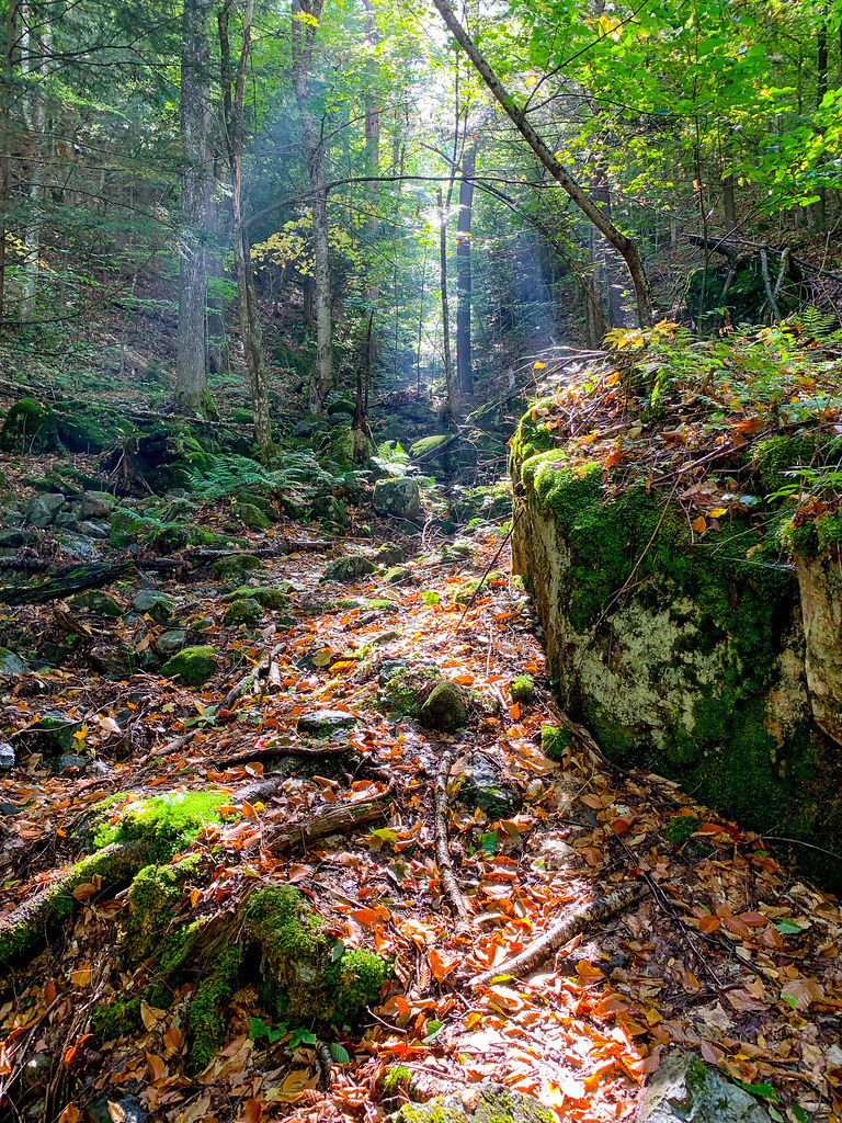 Henry Stimson TrailHiking · ~14 min drivePhoto: Fil.Al, CC BY 2.0 (via Flickr)
 Nubble TrailHiking · ~14 min drivePhoto: Dougtone, CC BY-SA 2.0 (via Flickr)
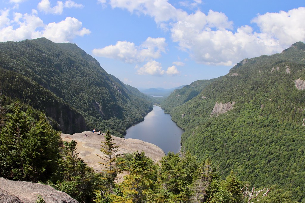 Colvin Range TrailHiking · ~14 min drivePhoto: daveynin, CC BY 2.0 (via Flickr)Washbowl TrailHiking · ~14 min drivePhoto: Dougtone, CC BY-SA 2.0 (via Flickr)
No month here meets our mild-weather rule. Best months have typical highs of 55–85 °F, lows of 30 °F or warmer (32 °F where the station doesn't record snow), at most one snowy day and no more than 12 wet days.
Jan
23° / 6°
18 wet
Feb
27° / 8°
14 wet
Mar
36° / 16°
14 wet
Apr
49° / 29°
14 wet
May
62° / 40°
15 wet
Jun
70° / 49°
14 wet
Jul
74° / 54°
14 wet
Aug
73° / 52°
13 wet
Sep
66° / 45°
13 wet
Oct
52° / 35°
15 wet
Nov
40° / 25°
16 wet
Dec
28° / 14°
18 wet
Typical high / low (°F) and days with rain or snow, 1991–2020. Measured at Lake Placid 2 S, NY, 23.7 mi away at 1,888 ft. The station sits about 600 ft higher than this place, so expect it a little warmer here. This station doesn't record snowfall. Source: NOAA NCEI U.S. Climate Normals 1991–2020.
Map and trail data © OpenStreetMap contributors

