Conservation Trail (FLT)
 Photo: javajoe6, CC BY-SA 3.0 (via Wikimedia Commons)
- 2.3 mi
- round trip
- 713 ft
- climb
- 1,189 ft
- high point
- Out and back
- route
- Jun–Sep
- best months
The Conservation Trail (FLT) is an easy out-and-back hike in New York, about 2 miles from the town of Darien Center. The route is roughly 4.5 miles long, with a steady climb that reaches a high point of about 1,189 feet. The trail starts at around 1,075 feet and ends at the same elevation, so the total gain and loss are each about 713 feet. The steepest stretch comes near the 0.9-mile mark, where the grade reaches about 9%. Summer and early fall are the most comfortable times to go. Typical averages from a nearby weather station in Wales, NY, show July highs around 79°F and September highs around 72°F, with lows near 50°F. Winters are cold and snowy, with January highs around 32°F and about 13 snow days. Shotgun Ridge 1 lies about 2.2 miles away, and the Conservation Trail is about 3.3 miles away.
 Shotgun Ridge 1HikingPhoto: javajoe6, CC BY-SA 3.0 (via Wikimedia Commons)2.2 mi
 Conservation TrailHikingPhoto: javajoe6, CC BY-SA 3.0 (via Wikimedia Commons)3.3 mi
Source: Roamze catalog (indexable pages within 10 miles, PostGIS distance)
 Conservation Trail (FLT)Hiking · ~3 min drivePhoto: javajoe6, CC BY-SA 3.0 (via Wikimedia Commons)
 Conservation Trail (FLT)Hiking · ~18 min drivePhoto: javajoe6, CC BY-SA 3.0 (via Wikimedia Commons)
- Groveland Secondary TrailHiking · ~26 min drive
 Conservation Trail (FLT)Hiking · ~3 min drivePhoto: javajoe6, CC BY-SA 3.0 (via Wikimedia Commons)
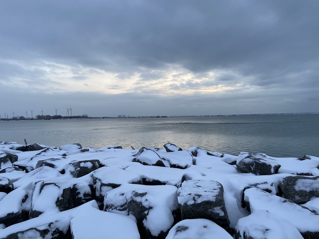 Erie Canalway Trail (Buffalo Harbor State Park to Hertel Avenue)Hiking · ~40 min drivePhoto: btwashburn, CC BY 2.0 (via Flickr)
- Groveland Secondary TrailHiking · ~44 min drive
- Shotgun Ridge 1Hiking · ~4 min drivePhoto: javajoe6, CC BY-SA 3.0 (via Wikimedia Commons)
 Smokey Hollow TrailHiking · ~45 min drivePhoto: javajoe6, CC BY-SA 3.0 (via Wikimedia Commons)
- Conservation TrailHiking · ~6 min drivePhoto: javajoe6, CC BY-SA 3.0 (via Wikimedia Commons)
- Erie Canalway Trail (Amherst to Lockport)Hiking · ~37 min drive
Best time to visit Conservation Trail (FLT)
Best months: June–September. Best months have typical highs of 55–85 °F, lows of 30 °F or warmer (32 °F where the station doesn't record snow), at most one snowy day and no more than 12 wet days.
Jan
32° / 15°
18 wet · 13 snow
Feb
33° / 15°
15 wet · 11 snow
Mar
42° / 22°
14 wet · 7 snow
Apr
55° / 33°
13 wet · 2 snow
May
67° / 44°
13 wet
Jun
75° / 54°
12 wet
Jul
79° / 58°
11 wet
Aug
78° / 57°
11 wet
Sep
72° / 50°
11 wet
Oct
59° / 40°
13 wet · 1 snow
Nov
47° / 31°
14 wet · 4 snow
Dec
37° / 22°
17 wet · 10 snow
Typical high / low (°F) and days with rain or snow, 1991–2020. Measured at Wales, NY, 13.1 mi away at 1,135 ft. Source: NOAA NCEI U.S. Climate Normals 1991–2020.

Map and trail data © OpenStreetMap contributors
