Calkins Brook Trail
- 2.6 mi
- one way
- 2,028 ft
- climb
- 4,038 ft
- high point
- Point to point
- route
Calkins Brook Trail is a 2.6-mile point-to-point hike in New York's High Peaks Wilderness, managed by the State Department of Conservation. The route rises from about 2,019 feet to a high point of 4,038 feet, with a total elevation gain of 2,028 feet. It is a moderate hike, and the steepest stretch comes at about 2.4 miles in, where the grade reaches 40%. The trail is a rolling climb, and the route is not open to bikes or horses. Plan for about two hours on foot. Several other trails sit within a few miles. The Blueberry Horse Trail is 1.8 miles away, and the Blueberry Trail and Seward Range Trail are each about 2.2 miles off. Raquette Falls Trail is roughly 4 miles away.
Local outfitters
- Cloudsplitter Outfitters15 mi away
- Great Camp Sagamore33 mi away
Not on Roamze yet. Their page has how to reach them.
Keep exploring — more trails worth the drive
 Photo: ke9tv, CC BY-SA 2.0 (via Flickr)
Northville-Placid Trail Spur to Cold R. Lean-Tos
~8 min drive
0.51-mile out-and-back trail to Cold R. Lean-Tos with 73 ft gain.
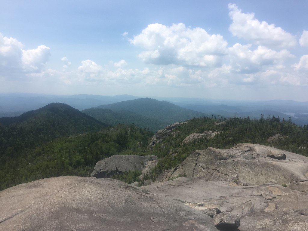 Photo: runJMrun — CC BY 2.0 (via Flickr)
Ampersand Mountain Trail
~10 min drive
2.47-mile point-to-point trail in New York with 1,784 ft elevation loss
Photo: ke9tv, CC BY-SA 2.0 (via Flickr)Calkins Brook Truck Trail
~9 min drive
9.33-mile point-to-point trail in New York with 1,304 ft elevation gain
 Photo: ke9tv, CC BY-SA 2.0 (via Flickr)
Bradley Pond Trail
~13 min drive
7.83-mile point-to-point trail in New York with 1,366 ft gain
 Photo: andyarthur, CC BY 2.0 (via Flickr)
Calamity Brook - Indian Pass Crossover Trail
~20 min drive
1.64-mile point-to-point trail in New York with 417 ft gain.
 Photo: ke9tv — CC BY-SA 2.0 (via Flickr)
Preston Ponds Trail
~13 min drive
4.62-mile point-to-point trail in New York with 897 ft elevation gain
 Photo: daveynin, CC BY 2.0 (via Flickr)
Floodwood Pond Trail
~20 min drive
2.42-mile point-to-point trail in New York with 367 ft elevation gain.
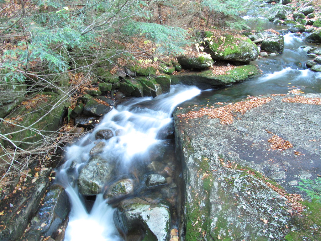 Photo: ke9tv, CC BY-SA 2.0 (via Flickr)
Old Northville-Placid Trail
~18 min drive
2.73-mile out-and-back hike in New York with 415 ft elevation gain.
Photo: daveynin, CC BY 2.0 (via Flickr)Otter Hollow Trail
~20 min drive
4.5-mile point-to-point trail in New York with 658 ft elevation gain
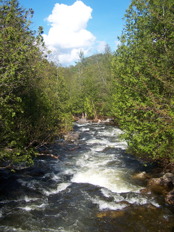 Photo: andyarthur, CC BY 2.0 (via Flickr)
Indian Pass Trail
~19 min drive
9.48-mile point-to-point trail in New York with 1,461 ft gain


Route details
- Distance
- 2.6 mi
- Climbing
- About 2,028 ft
- Summit
- 4,128 ft
- Difficulty
- Moderate
- Time
- About 2 hours
Other routes up Donaldson Mountain
Questions about this route
How long is the Calkins Brook Trail on Donaldson Mountain?
About 2.6 mi.
How much elevation gain is on the Calkins Brook Trail?
About 2,028 ft of climbing round trip.
How hard is the Calkins Brook Trail?
It is rated moderate.
How long does the Calkins Brook Trail take?
About 2 hours round trip.
How many routes go up Donaldson Mountain?
2: Seward Range Trail and Calkins Brook Trail.
Conditions and forecast on Donaldson Mountain
Daily highs and lows, wind and the chance of precipitation at the summit and route start for the next 7 days, from the Open-Meteo model.
Map and trail data © OpenStreetMap contributors
