Floodwood Pond Trail
 Photo: daveynin, CC BY 2.0 (via Flickr)
- 2.4 mi
- one way
- 44 ft
- climb
- 1,611 ft
- high point
- Point to point
- route
- Aug–Sep
- best months
Floodwood Pond Trail is a 2.4-mile easy hike in the Fish Creek Pond Campground area of New York, managed by the State Department of Conservation. The trail rises about 44 feet from its low point at 1,577 feet to its high point at 1,611 feet, and the steepest stretch comes at the end, with a grade of about 11 percent at mile 2.4. Summer is the most comfortable time to go. Typical averages from the nearby Tupper Lake Sunmount weather station run from highs in the low 70s in July to about 69°F in September, with lows in the mid-50s. Otter Hollow Trail sits less than a mile away, and the Floodwood Pond Trail (Blue) is about 1.2 miles off. Paddlers can reach the Floodwood Pond Loop about 1.8 miles away, and the Adirondack Rail Trail is about 3.1 miles away.
Local outfitters
- Cloudsplitter Outfitters26 mi away
- Great Camp Sagamore40 mi away
Not on Roamze yet. Their page has how to reach them.
Best time to go · Aug–Sep
Best time to visit Floodwood Pond Trail
Best months: August–September. Best months have typical highs of 55–85 °F, lows of 30 °F or warmer (32 °F where the station doesn't record snow), at most one snowy day and no more than 12 wet days.
Jan
25° / 4°
17 wet
Feb
29° / 5°
14 wet
Mar
37° / 14°
14 wet
Apr
50° / 28°
12 wet
May
65° / 41°
13 wet
Jun
73° / 50°
14 wet
Jul
77° / 54°
14 wet
Aug
76° / 53°
12 wet
Sep
69° / 45°
12 wet
Oct
55° / 35°
14 wet
Nov
42° / 25°
15 wet
Dec
31° / 13°
17 wet
Typical high / low (°F) and days with rain or snow, 1991–2020. Measured at Tupper Lake Sunmount, NY, 6.6 mi away at 1,680 ft. This station doesn't record snowfall. Source: NOAA NCEI U.S. Climate Normals 1991–2020.
Keep exploring — more trails worth the drive
Photo: daveynin, CC BY 2.0 (via Flickr)Otter Hollow Trail
~1 min drive
4.5-mile point-to-point trail in New York with 658 ft elevation gain
 Photo: andyarthur, CC BY 2.0 (via Flickr)
Adirondack Rail Trail
~5 min drive
12.82-mile out-and-back rail trail in New York with 1,035 ft elevation gain
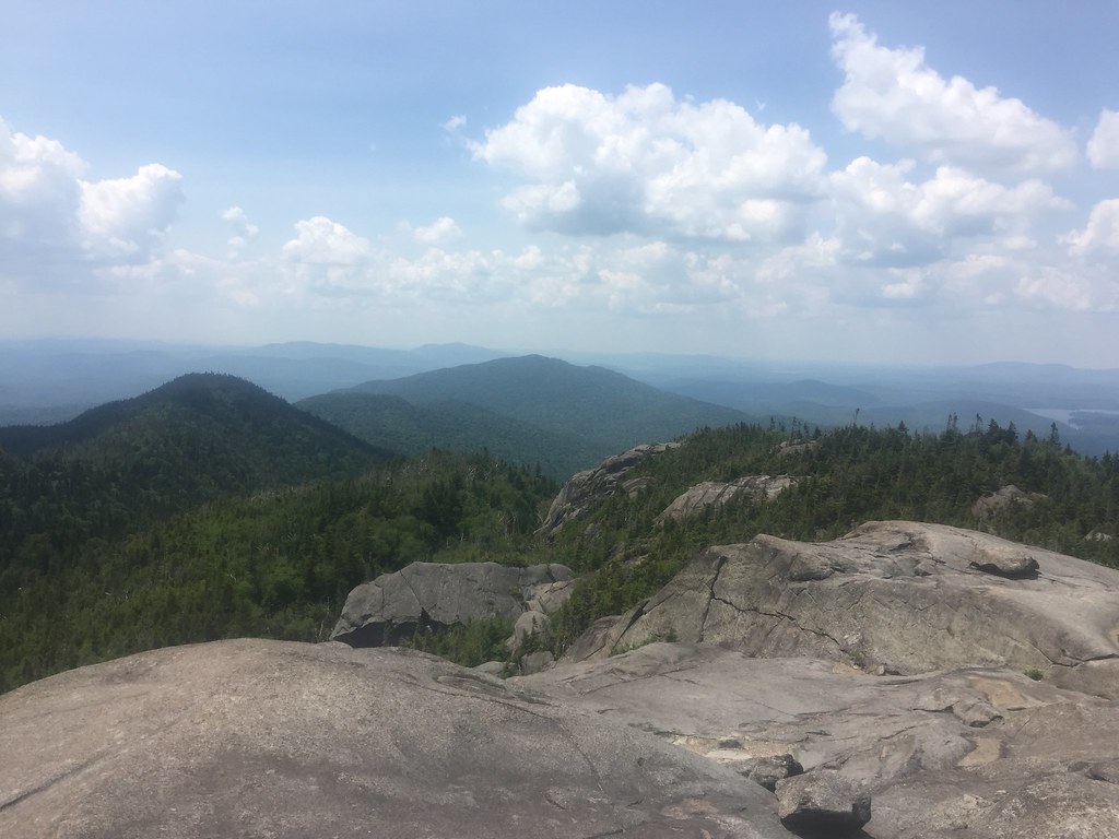 Photo: runJMrun — CC BY 2.0 (via Flickr)
Ampersand Mountain Trail
~16 min drive
2.47-mile point-to-point trail in New York with 1,784 ft elevation loss
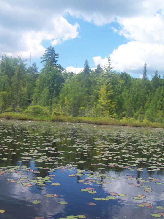 Photo: andyarthur, CC BY 2.0 (via Flickr)
Floodwood Pond Trail (Blue)
~2 min drive
4.44-mile out-and-back hike in New York with 761 ft elevation gain.
HIKE
Long Pond Mountain Trail
~9 min drive
1.44-mile point-to-point trail in New York with 985 ft elevation loss
 Photo: andyarthur, CC BY 2.0 (via Flickr)
Jenkins Mountain Trail (Blue)
~18 min drive
4.24-mile out-and-back trail in New York with 1,187 ft elevation gain
 Photo: Patrick DeYear, CC BY 3.0 (via Wikimedia Commons)
Adirondack Rail Trail
~16 min drive
2.2-mile out-and-back rail trail in New York with 333 ft elevation gain
HIKE
Adirondack Rail Trail
~6 min drive
8.54-mile out-and-back trail in New York with 1,773 ft elevation gain/loss
Photo: andyarthur, CC BY 2.0 (via Flickr)Esker Trail
~17 min drive
1.07-mile point-to-point trail in New York with 272 ft elevation gain.
HIKE
Adirondack Rail Trail
~7 min drive
5.74-mile out-and-back rail trail in New York with 392 ft elevation gain/loss
Map and trail data © OpenStreetMap contributors
