Brookwood RV Resort
Campground
Campground · 3.7 mi from the trail
Clear today
Weather is good · OpenWeather · checked just now
Berrymill Pond Trail is a 5.1-mile point-to-point hike in New York, about 2 miles from the town of Graphite. The route rises from roughly 1,175 feet to a high point of 1,919 feet, with a total elevation gain of 802 feet. The climb is front-loaded, and the steepest stretch comes at about a mile in, where the grade reaches 17 percent. Summer is the most comfortable time to go. Typical averages from a nearby weather station in Cornwall, Vermont, show July highs around 80°F with lows near 60°F, though that station sits well below the trail, so temperatures on the higher ground run cooler. The hike takes about two hours. Bikes are not allowed. Within a few miles are Lost Pond Trail, Grizzle Ocean Trail and Pharaoh Lake Loop Trail, and the climbing at Cove Boulders is about 4 miles away.
Brookwood RV Resort
Campground
Ticonderoga Arts / Downtown Gallery
Gallery
Places © OpenStreetMap contributors
More in Schroon LakeNot on Roamze yet. Their page has how to reach them.
 Cove BouldersRock climbingPhoto: Steve Starer, CC BY 2.0 (via Flickr)4.1 miRogers RockRock climbingPhoto: Steve Starer, CC BY 2.0 (via Flickr)4.2 mi
 La ChuteCanoeingPhoto: Katie Armstrong, Public domain (via Wikimedia Commons)7.3 mi
Source: Roamze catalog (indexable pages within 10 miles, PostGIS distance)
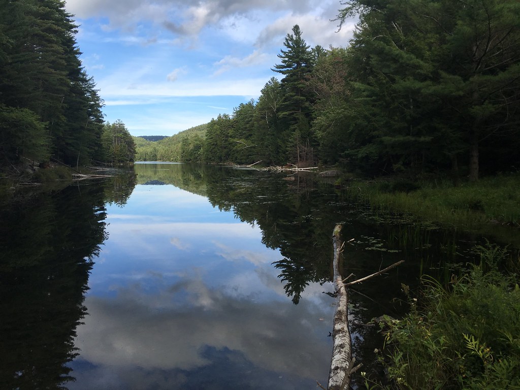 Springhill Ponds TrailHiking · ~8 min drivePhoto: tracy the astonishing, CC BY-SA 2.0 (via Flickr)
 Long Swing TrailHiking · ~8 min drivePhoto: Andy Arthur, CC BY 2.0 (via Wikimedia Commons)
 Treadway Mountain TrailHiking · ~9 min drivePhoto: Andy Arthur, CC BY 2.0 (via Wikimedia Commons)Pharaoh Mountain TrailHiking · ~8 min drivePhoto: Andy Arthur, CC BY 2.0 (via Wikimedia Commons)Pharoah Lake TrailHiking · ~9 min drivePhoto: Andy Arthur, CC BY 2.0 (via Wikimedia Commons)
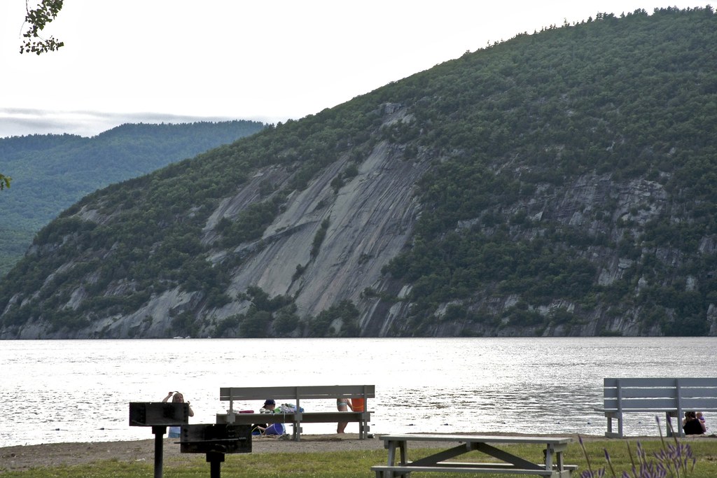 Cook MountainHiking · ~11 min drivePhoto: crimfants, CC BY-SA 2.0 (via Flickr)
 Short Swing TrailHiking · ~11 min drivePhoto: Andy Arthur, CC BY 2.0 (via Wikimedia Commons)Rock Pond to Lilypad Pond TrailHiking · ~10 min drivePhoto: Andy Arthur, CC BY 2.0 (via Wikimedia Commons)
 Elephant Mountain pathHiking · ~18 min drivePhoto: wboykinm, CC BY-SA 2.0 (via Flickr)
Best months: May–October. Best months have typical highs of 55–85 °F, lows of 30 °F or warmer (32 °F where the station doesn't record snow), at most one snowy day and no more than 12 wet days.
Jan
27° / 9°
11 wet · 8 snow
Feb
30° / 10°
9 wet · 7 snow
Mar
40° / 20°
9 wet · 4 snow
Apr
54° / 33°
10 wet · 1 snow
May
67° / 45°
11 wet
Jun
75° / 54°
12 wet
Jul
80° / 60°
12 wet
Aug
79° / 57°
10 wet
Sep
71° / 49°
9 wet
Oct
57° / 38°
12 wet
Nov
44° / 28°
11 wet · 2 snow
Dec
33° / 18°
12 wet · 6 snow
Typical high / low (°F) and days with rain or snow, 1991–2020. Measured at Cornwall, VT, 21 mi away at 345 ft. The station sits about 1,600 ft lower than this place, so expect it a little cooler here. Source: NOAA NCEI U.S. Climate Normals 1991–2020.
Map and trail data © OpenStreetMap contributors
