Becker Hollow Trail
- 2.0 mi
- one way
- 2,117 ft
- climb
- 4,010 ft
- high point
- Point to point
- route
- Sep
- best months
Becker Hollow Trail is a moderate hike of about 2 miles in the Hunter-West Kill Wilderness in New York, managed by the State Department of Conservation. It rises from roughly 1,800 feet to about 4,000 feet, with a total elevation gain of 2,117 feet. The route is a point-to-point climb, not a loop, and the steepest stretch comes within the first third of the trail at about 46% grade. Summer is the most comfortable time to go. Typical July averages from the Slide Mtn weather station, about 14 miles away, run around 74°F for highs and 56°F for lows. That station sits well below the trail, so temperatures up high run cooler. Bikes are not allowed. Spruceton Trail starts just 0.2 miles away, and Hunter Mountain Trail is about 0.7 miles off. Diamond Notch Trail is about 2 miles away, and Mink Hollow Trail, a mountain biking route, lies roughly 4.4 miles away.
Local outfitters
- Catskill Outfitters9 mi away
Not on Roamze yet. Their page has how to reach them.
Best time to go · Sep
Best time to visit Becker Hollow Trail
Best months: September. Best months have typical highs of 55–85 °F, lows of 30 °F or warmer (32 °F where the station doesn't record snow), at most one snowy day and no more than 12 wet days.
Jan
28° / 12°
16 wet
Feb
30° / 13°
14 wet
Mar
38° / 20°
15 wet
Apr
51° / 31°
13 wet
May
62° / 43°
15 wet
Jun
69° / 51°
14 wet
Jul
74° / 56°
13 wet
Aug
73° / 54°
13 wet
Sep
67° / 48°
12 wet
Oct
55° / 38°
14 wet
Nov
43° / 28°
13 wet
Dec
32° / 19°
16 wet
Typical high / low (°F) and days with rain or snow, 1991–2020. Measured at Slide Mtn, NY, 14.6 mi away at 2,650 ft. The station sits about 1,400 ft lower than this place, so expect it a little cooler here. This station doesn't record snowfall. Source: NOAA NCEI U.S. Climate Normals 1991–2020.
Keep exploring — more trails worth the drive
 Photo: ke9tv, CC BY-SA 2.0 (via Flickr)
Herd Path
~10 min drive
2.16-mile out-and-back trail in New York with 1,191 ft elevation gain
 Photo: RobertDrake2015, CC BY-SA 4.0 (via Wikimedia Commons)
Kaaterskill Rail Trail
~12 min drive
2.88-mile out-and-back trail in New York with 442 ft elevation gain
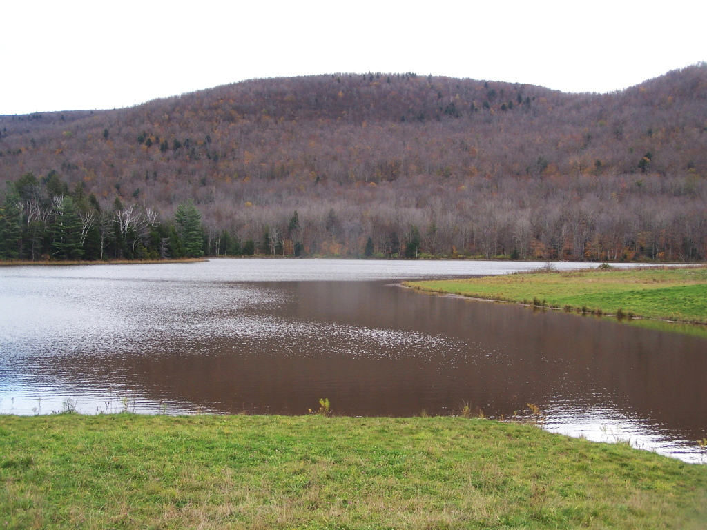 Photo: andyarthur, CC BY 2.0 (via Flickr)
Colgate Lake Trail
~12 min drive
8.42-mile out-and-back hike at Colgate Lake in New York with 1,199 ft elevation gain
HIKE
Sherrill and North Dome Herd Path
~16 min drive
7.72-mile out-and-back trail in New York with 3,493 ft elevation gain.
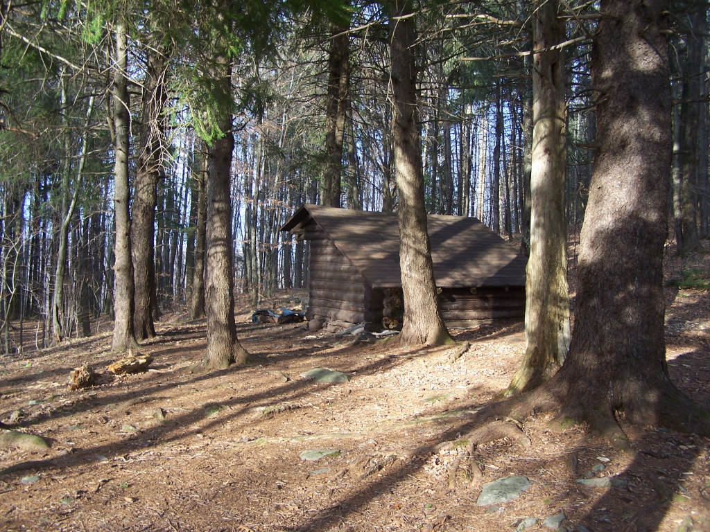 Photo: andyarthur, CC BY 2.0 (via Flickr)
Mid Mountain Trail
~15 min drive
2.92-mile out-and-back hike in New York with 1,484 ft elevation gain
 Photo: New York Public Library, No restrictions (via Wikimedia Commons)
Overlook Trail
~14 min drive
3.63-mile point-to-point trail in New York with 1,492 ft elevation gain
 Photo: Alexander Gude, CC BY-SA 3.0 (via Wikimedia Commons)
Twilight Park Trail
~13 min drive
1.44-mile out-and-back trail in Twilight Park, New York with 1,285 ft of elevation gain.
 Photo: Andy Arthur, CC BY 2.0 (via Wikimedia Commons)
Blackhead Trail
~15 min drive
0.66-mile point-to-point trail in New York with 154 ft elevation gain.
Photo: Alexander Gude, CC BY-SA 3.0 (via Wikimedia Commons)Huckleberry Point Trail
~14 min drive
1.30-mile out-and-back trail in New York with 250 ft gain.
Photo: New York Public Library, No restrictions (via Wikimedia Commons)Devil's Path
~14 min drive
Strenuous 14.92-mile point-to-point Catskill ridge traverse for experienced hikers.

Map and trail data © OpenStreetMap contributors
