Mid Mountain Trail
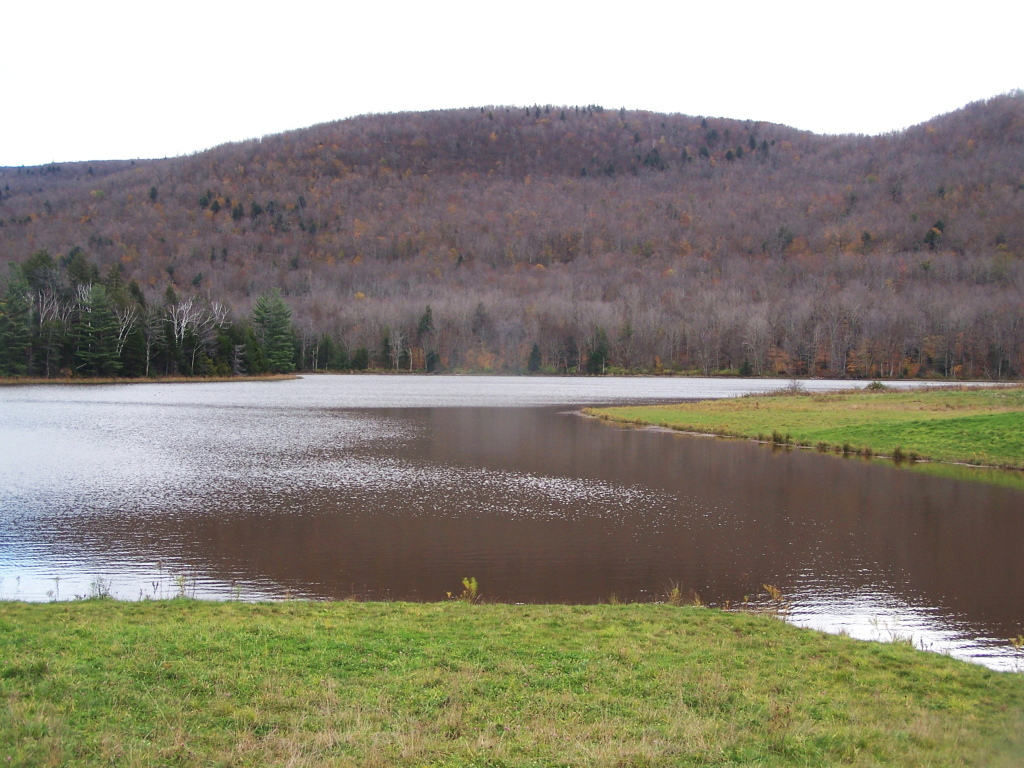
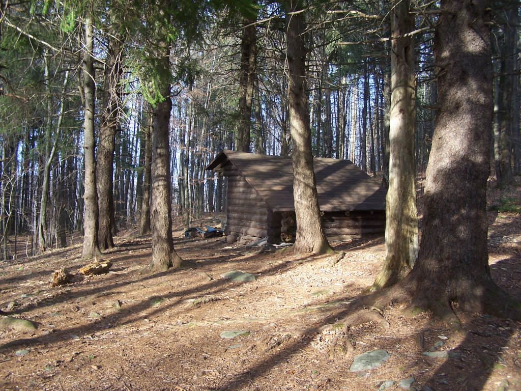 Photo: andyarthur, CC BY 2.0 (via Flickr)
- 1.5 mi
- round trip
- 1,484 ft
- climb
- 2,469 ft
- high point
- Out and back
- route
- Jun–Oct
- best months
Mid Mountain Trail is a 2.9-mile out-and-back hike in New York's Elm Ridge Wild Forest, managed by the State Department of Conservation. The trail rises from a starting point of about 2,437 feet to a high point of 2,469 feet, with a total elevation gain of 1,484 feet over the round trip. The climb is steady, and the steepest stretch comes at about 0.54 miles in, with a grade of 8 percent. The most comfortable months for a visit are typically July and August, when typical averages from a nearby weather station run from the mid-70s to the upper 70s for highs, and September stays mild with highs around 69°F. That station sits roughly 478 feet lower than the trail's high point, so temperatures on the summit run cooler. The trip takes about 1.5 hours. The West Gauntlet Trail and Levitate Trail both lie within half a mile, and the Elm Ridge Trail is about a mile away. For a longer outing, the Black Dome Range Trail is about 4 miles off.
Local outfitters
- Catskill Outfitters17 mi away
Not on Roamze yet. Their page has how to reach them.
- West Gauntlet TrailHikingPhoto: andyarthur, CC BY 2.0 (via Flickr)0.3 mi
- Levitate TrailHiking0.4 mi
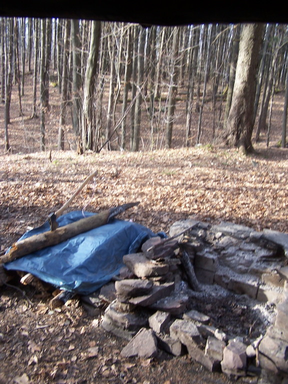 Elm Ridge TrailHikingPhoto: andyarthur, CC BY 2.0 (via Flickr)1 mi
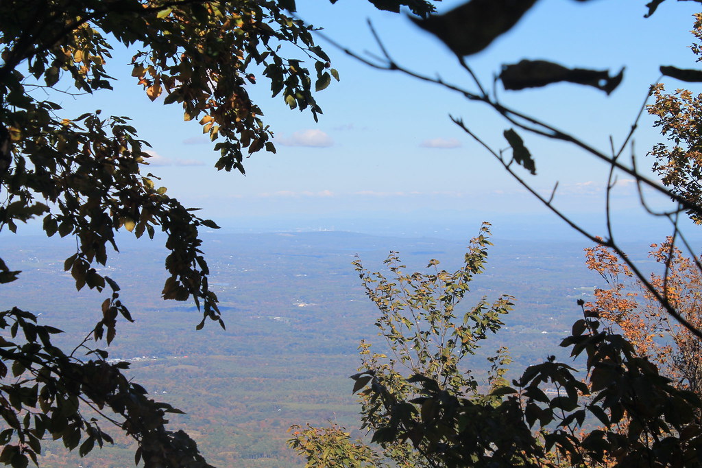 Black Dome Range TrailHikingPhoto: andyarthur, CC BY 2.0 (via Flickr)4 mi
 Blackhead TrailHikingPhoto: Andy Arthur, CC BY 2.0 (via Wikimedia Commons)4.7 mi
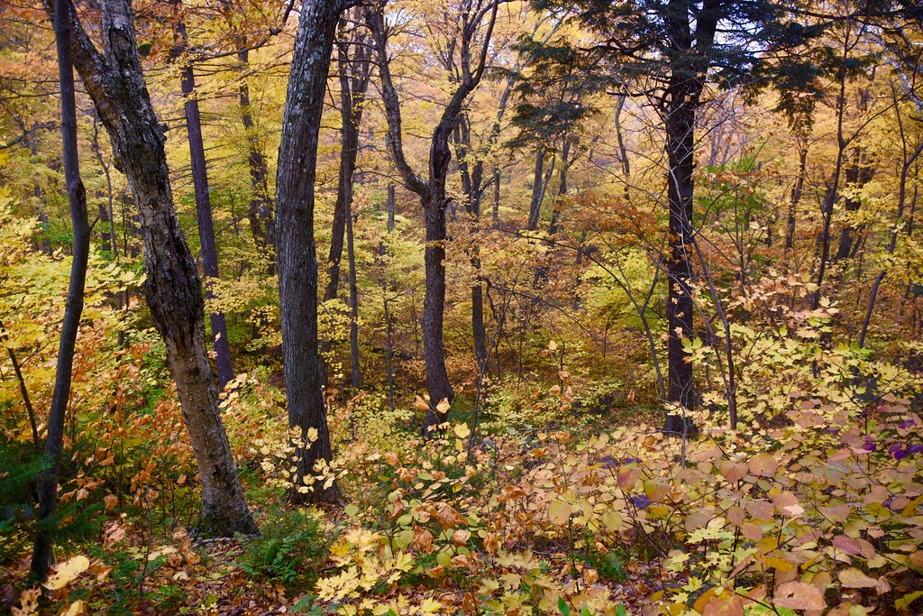 Batavia Kill TrailHikingPhoto: alecperkins, CC BY 2.0 (via Flickr)4.8 mi
- Catskill CreekRiver fishing8 mi
 CatskillsRock climbingPhoto: John B. from Highland Park, NJ, United States, CC BY 2.0 (via Wikimedia Commons)9.6 mi
Source: Roamze catalog (indexable pages within 10 miles, PostGIS distance)
- West Gauntlet TrailHiking · Next doorPhoto: andyarthur, CC BY 2.0 (via Flickr)
- Black Dome Range TrailHiking · ~7 min drivePhoto: andyarthur, CC BY 2.0 (via Flickr)
 Colgate Lake TrailHiking · ~9 min drivePhoto: andyarthur, CC BY 2.0 (via Flickr)
- Elm Ridge TrailHiking · ~2 min drivePhoto: andyarthur, CC BY 2.0 (via Flickr)
- Blackhead TrailHiking · ~8 min drivePhoto: Andy Arthur, CC BY 2.0 (via Wikimedia Commons)
 Twilight Park TrailHiking · ~18 min drivePhoto: Alexander Gude, CC BY-SA 3.0 (via Wikimedia Commons)
 Outer Loop North TrailHiking · ~2 min drivePhoto: andyarthur, CC BY 2.0 (via Flickr)
 Stoppel Point Trail (red)Hiking · ~15 min drivePhoto: Steve Shook from Moscow, Idaho, USA, CC BY 2.0 (via Wikimedia Commons)
- Dutcher Notch TrailHiking · ~13 min drive
- Outer Loop South TrailHiking · ~2 min drivePhoto: andyarthur, CC BY 2.0 (via Flickr)
Best time to visit Mid Mountain Trail
Best months: June–October. Best months have typical highs of 55–85 °F, lows of 30 °F or warmer (32 °F where the station doesn't record snow), at most one snowy day and no more than 12 wet days.
Jan
31° / 11°
12 wet
Feb
33° / 12°
11 wet
Mar
40° / 19°
12 wet
Apr
53° / 30°
12 wet
May
65° / 40°
13 wet
Jun
73° / 49°
12 wet
Jul
77° / 54°
12 wet
Aug
76° / 52°
12 wet
Sep
69° / 45°
10 wet
Oct
57° / 35°
12 wet
Nov
46° / 27°
11 wet
Dec
35° / 18°
13 wet
Typical high / low (°F) and days with rain or snow, 1991–2020. Measured at E Jewett, NY, 4.9 mi away at 1,991 ft. This station doesn't record snowfall. Source: NOAA NCEI U.S. Climate Normals 1991–2020.

Map and trail data © OpenStreetMap contributors
