Blackhead Trail
 Photo: Andy Arthur, CC BY 2.0 (via Wikimedia Commons)
- 0.7 mi
- one way
- 504 ft
- climb
- 3,935 ft
- high point
- Point to point
- route
- Sep
- best months
Blackhead Trail is a 0.66-mile moderate hike in the Windham-Blackhead Range Wilderness of New York's Catskills, managed by the State Department of Conservation. It is a point-to-point route, and its elevation profile shows a 504-foot climb one way, with the trail starting at about 3,908 feet and reaching a high of 3,935 feet before descending to about 3,424 feet. Summer is the most comfortable time to go. Typical averages from the Slide Mtn weather station, about 24 miles away, put July highs near 74°F and lows around 56°F, and temperatures on this trail run cooler than that station's figures. Bikes and horses are not allowed, and the route is not wheelchair accessible. The nearest trail is Batavia Kill Trail, about 0.6 miles away, and Colgate Lake Trail and Black Dome Range Trail are both within about 2 miles. Climbers can head to the Catskills area, roughly 5.6 miles away.
Local outfitters
- Catskill Outfitters18 mi away
Not on Roamze yet. Their page has how to reach them.
Best time to go · Sep
Best time to visit Blackhead Trail
Best months: September. Best months have typical highs of 55–85 °F, lows of 30 °F or warmer (32 °F where the station doesn't record snow), at most one snowy day and no more than 12 wet days.
Jan
28° / 12°
16 wet
Feb
30° / 13°
14 wet
Mar
38° / 20°
15 wet
Apr
51° / 31°
13 wet
May
62° / 43°
15 wet
Jun
69° / 51°
14 wet
Jul
74° / 56°
13 wet
Aug
73° / 54°
13 wet
Sep
67° / 48°
12 wet
Oct
55° / 38°
14 wet
Nov
43° / 28°
13 wet
Dec
32° / 19°
16 wet
Typical high / low (°F) and days with rain or snow, 1991–2020. Measured at Slide Mtn, NY, 23.6 mi away at 2,650 ft. The station sits about 1,300 ft lower than this place, so expect it a little cooler here. This station doesn't record snowfall. Source: NOAA NCEI U.S. Climate Normals 1991–2020.
Keep exploring — more trails worth the drive
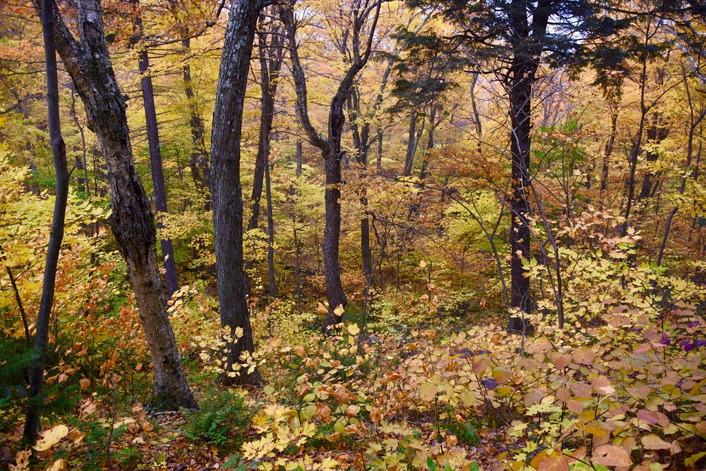 Photo: alecperkins, CC BY 2.0 (via Flickr)
Batavia Kill Trail
~1 min drive
0.97-mile point-to-point trail in New York with 558 ft elevation loss.
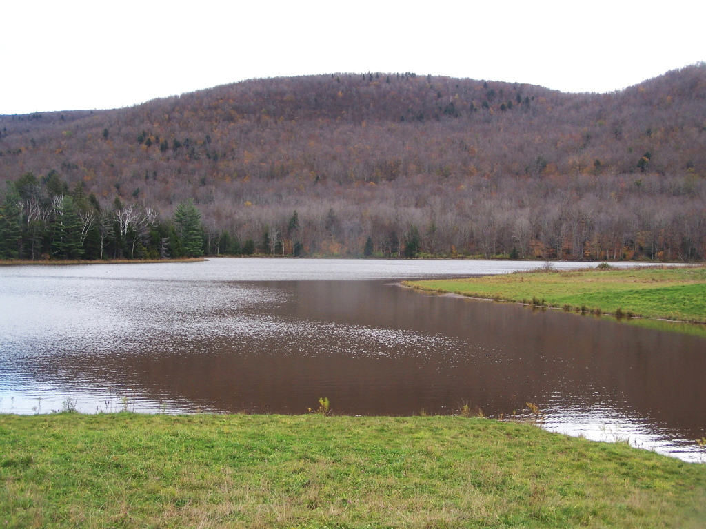 Photo: andyarthur, CC BY 2.0 (via Flickr)
Colgate Lake Trail
~4 min drive
8.42-mile out-and-back hike at Colgate Lake in New York with 1,199 ft elevation gain
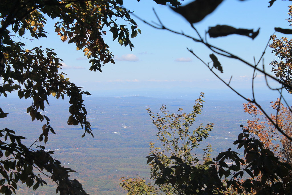 Photo: andyarthur, CC BY 2.0 (via Flickr)
Black Dome Range Trail
~4 min drive
6.87-mile point-to-point hike in New York with 2,520 ft gain
 Photo: Steve Shook from Moscow, Idaho, USA, CC BY 2.0 (via Wikimedia Commons)
Yankee Smith Trail
~7 min drive
2.36-mile out-and-back trail in New York with 836 ft elevation gain
 Photo: Alexander Gude, CC BY-SA 3.0 (via Wikimedia Commons)
Twilight Park Trail
~12 min drive
1.44-mile out-and-back trail in Twilight Park, New York with 1,285 ft of elevation gain.
Photo: Steve Shook from Moscow, Idaho, USA, CC BY 2.0 (via Wikimedia Commons)Stoppel Point Trail (red)
~7 min drive
3.16-mile out-and-back hike in New York with 1,768 ft gain and 2,590 ft max elevation.
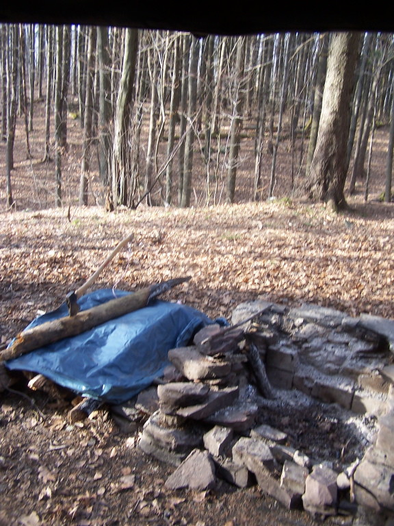 Photo: andyarthur, CC BY 2.0 (via Flickr)
Elm Ridge Trail
~8 min drive
0.84-mile point-to-point trail in New York with 384 ft elevation loss
 Photo: New York Public Library, No restrictions (via Wikimedia Commons)
Devil's Path
~17 min drive
Strenuous 14.92-mile point-to-point Catskill ridge traverse for experienced hikers.
Photo: Steve Shook from Moscow, Idaho, USA, CC BY 2.0 (via Wikimedia Commons)Winter Clove Falls trail
~7 min drive
2.58-mile out-and-back hike in New York with 1,315 ft elevation gain
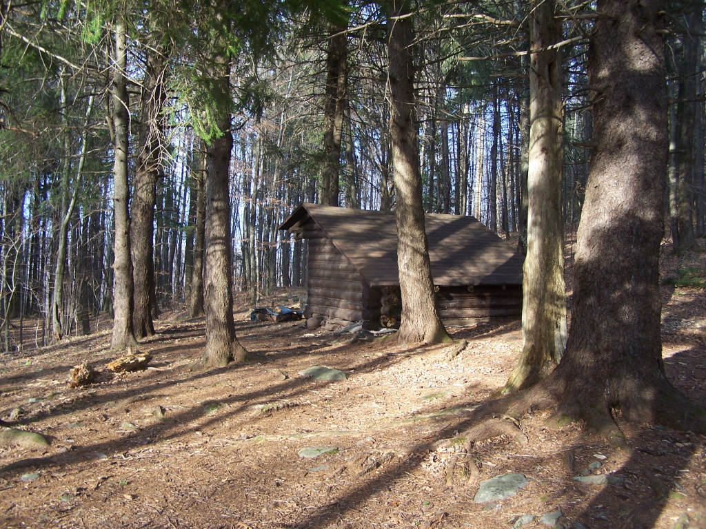 Photo: andyarthur, CC BY 2.0 (via Flickr)
West Gauntlet Trail
~8 min drive
2.08-mile out-and-back trail in New York with 643 ft elevation gain
Also worth it near here


Route details
- Distance
- 0.7 mi
- Climbing
- About 504 ft
- Summit
- 3,937 ft
- Difficulty
- Moderate
- Time
- About 0.5 hours
Questions about this route
How long is the Blackhead Trail on Blackhead?
About 0.7 mi.
How much elevation gain is on the Blackhead Trail?
About 504 ft of climbing round trip.
How hard is the Blackhead Trail?
It is rated moderate.
How long does the Blackhead Trail take?
About 0.5 hours round trip.
Conditions and forecast on Blackhead
Daily highs and lows, wind and the chance of precipitation at the summit and route start for the next 7 days, from the Open-Meteo model.
Map and trail data © OpenStreetMap contributors
