Sno-bird
Campground
Campground · 2.0 mi from the trail
The Adk Range Trail is a 2.7-mile point-to-point hike in New York's High Peaks Wilderness, managed by the State Department of Conservation. It is a moderate route with a total elevation gain of 1,694 feet, rising from about 4,691 feet to a high point of 4,738 feet. The climb is rolling, and the trail also drops about 1,734 feet on the way back, so plan for a full day on foot. The trail starts at a lower point of about 3,498 feet and ends at roughly the same elevation, which makes it a natural pairing with other routes in the area. The A.W. Weld Trail and the Gothics climbing area both sit about 0.1 mile away, and the Beaver Meadow Trail and Pyramid Peak are each about 0.4 mile off. The Sawteeth Trail is about 0.6 mile away. For a longer outing, the West Branch Ausable River offers canoeing about 7.5 miles away, and the E: High Peaks Region climbing area is about 2.3 miles off.
Sno-bird
Campground
Schroon Lake view
Viewpoint
Places © OpenStreetMap contributors
More in Schroon LakeNot on Roamze yet. Their page has how to reach them.
 Photo: daveynin, CC BY 2.0 (via Flickr)
Sawteeth Trail
~1 min drive
0.41-mile point-to-point trail in New York with 466 ft elevation gain
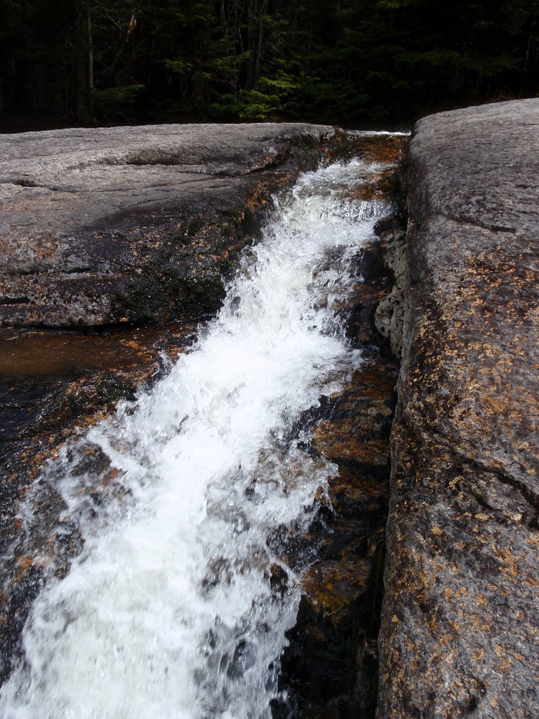 Photo: drsmith7383, CC BY 2.0 (via Flickr)
State Range Trail
~3 min drive
2.78-mile point-to-point hike in New York with 2,402 ft of elevation gain.
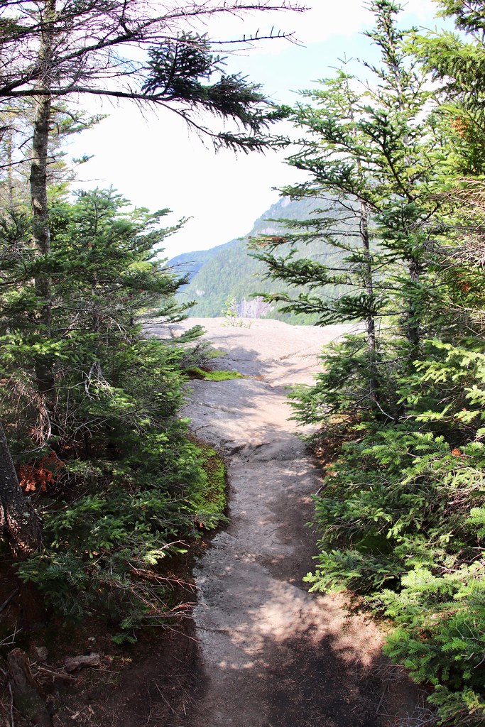 Photo: daveynin, CC BY 2.0 (via Flickr)
Indian Head Crossover Trail
~3 min drive
0.65-mile point-to-point trail in New York with 110 ft gain and 516 ft loss
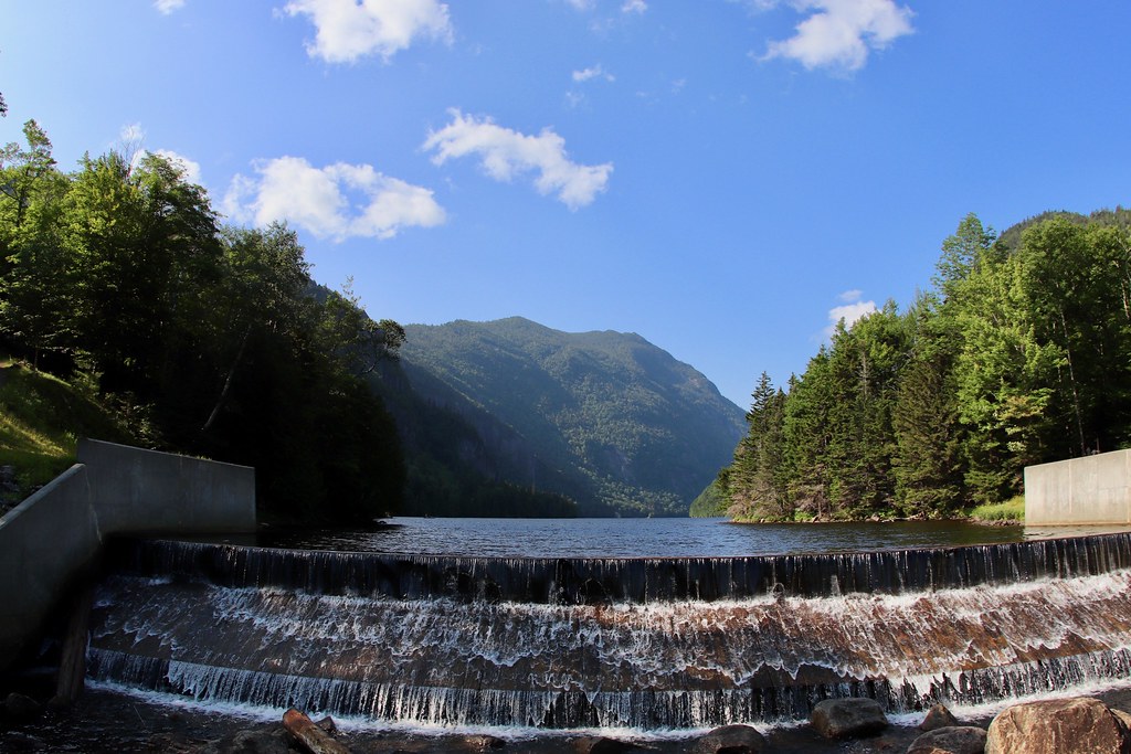 Photo: daveynin, CC BY 2.0 (via Flickr)
Sawteeth Scenic Trail
~3 min drive
2.42-mile point-to-point trail in New York with 3,035 ft gain
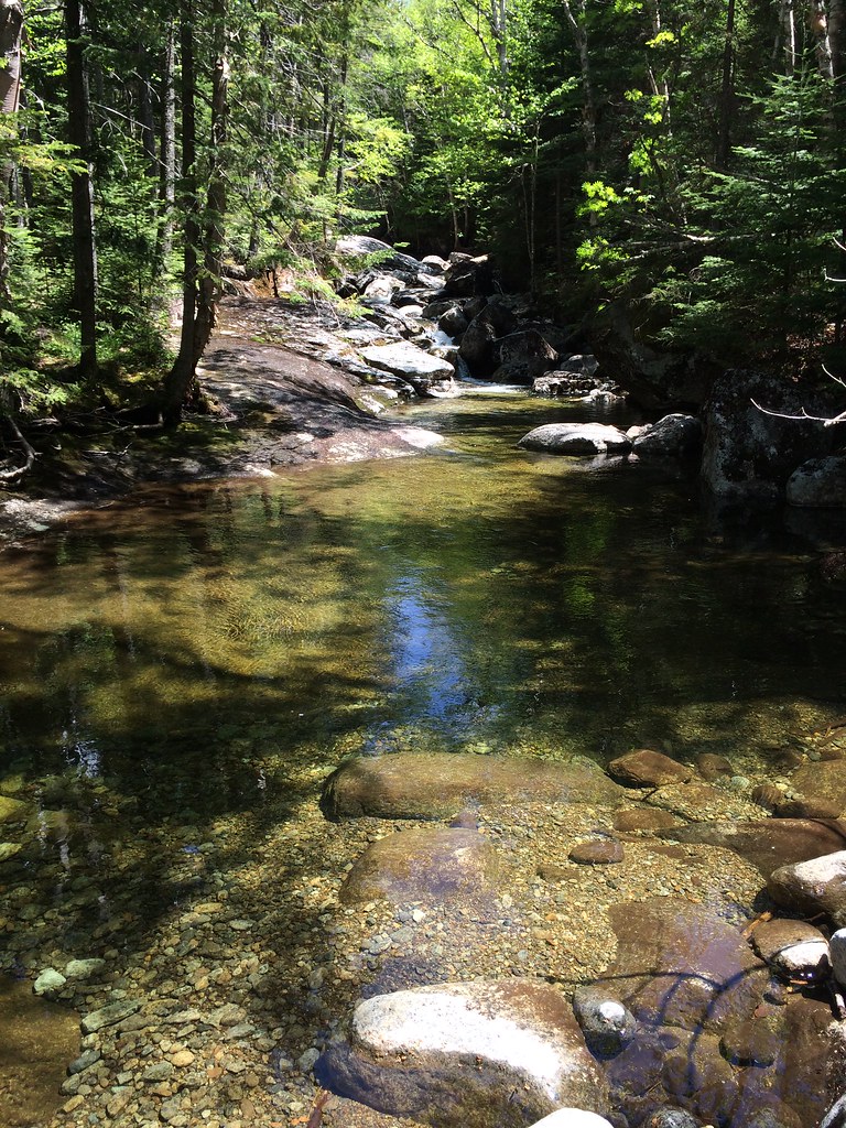 Photo: seabamirum, CC BY 2.0 (via Flickr)
Tabletop Mountain Trail
~6 min drive
0.70-mile point-to-point trail in New York with 784 ft elevation gain.
Photo: drsmith7383, CC BY 2.0 (via Flickr)Shorey Short Cut Trail
~4 min drive
0.88-mile point-to-point trail in New York with 1000 ft elevation gain.
Photo: daveynin, CC BY 2.0 (via Flickr)Lost Lookout Trail
~3 min drive
1.24-mile point-to-point trail in New York with 751 ft gain
 Photo: matt.a, CC BY 3.0 (via Wikimedia Commons)
Hedgehog Trail
~7 min drive
1.38-mile point-to-point trail in New York with 1,076 ft elevation gain.
Photo: daveynin, CC BY 2.0 (via Flickr)East River Trail
~4 min drive
3.06-mile point-to-point trail in New York with 525 ft gain.
Photo: daveynin — CC BY 2.0 (via Flickr)Indian Head Trail
~3 min drive
Indian Head Trail is a 0.71-mile point-to-point trail in New York with 375 ft gain.
About 2.7 mi.
About 1,694 ft of climbing round trip.
It is rated moderate.
About 1.5 hours round trip.
Daily highs and lows, wind and the chance of precipitation at the summit and route start for the next 7 days, from the Open-Meteo model.
Map and trail data © OpenStreetMap contributors

