Water Canyon
- 5.6 mi
- round trip
- 1,622 ft
- climb
- 10,569 ft
- high point
- Out and back
- route
Is Water Canyon open right now?
Closure in the area
There's a closure order in Mount Taylor Ranger District. It doesn't name Water Canyon, so check the source for the area it covers.
Fort Wingate Closure Order for U.S. Army Missile Test Launch
Agency closure covering Mount Taylor Ranger District · Order 03-03-02-26-22 · USFS · Mount Taylor Ranger District
As of · Source: USFS · Mount Taylor Ranger District. Agencies don't list every closure — check before you go.
Water Canyon is a moderate hike on the Forest Service's Mount Taylor Ranger District of Cibola National Forest in New Mexico. The trail is an out-and-back route of about 5.6 miles, starting at the Water Canyon Trailhead and climbing roughly 1,600 feet from a low point of about 8,943 feet to a high point of about 10,569 feet. The trail is open year-round and is managed by the Forest Service, and the natural-surface route allows horses. The closest neighbor is the Gooseberry hike, which lies just 0.1 mile away, with the Johnson Trail at about 1.1 miles and the Continental Divide Trail at about 1.9 miles. Canovitas Canyon Trail is about 2.7 miles away.
Local outfitters
- El Morro RV Park & Cabins43 mi away
Not on Roamze yet. Their page has how to reach them.
- GooseberryHiking0.1 mi
- Johnson TrailHiking1.1 mi
- Continental Divide TrailHiking1.9 mi
- Forest Svc 453B RoadHiking1.9 mi
- QuadCross-country skiing2 mi
- Motorized 423Hiking2.4 mi
- Canovitas Canyon TrailHiking2.7 mi
- Cdt JhomtHiking2.9 mi
Source: Roamze catalog (indexable pages within 10 miles, PostGIS distance)
- Johnson TrailHiking · ~2 min drive
- Continental Divide TrailHiking · ~9 min drive
- Forest Svc 453 RoadHiking · ~9 min drive
- Continental Divide TrailHiking · ~3 min drive
- Continental Divide TrailHiking · ~18 min drive
- Lobo Canyon RoadHiking · ~25 min drive
- Forest Svc 453B RoadHiking · ~3 min drive
- Motorized 402Hiking · ~20 min drive
- Continental Divide TrailHiking · ~3 min drive
- El Malpais RoadHiking · ~25 min drive
Also worth it near here
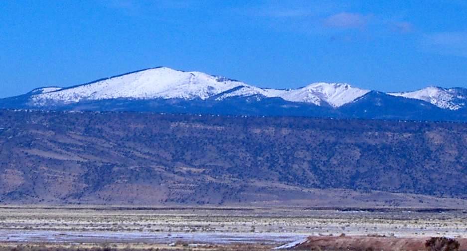 Mount TaylorSummit · ~1 min drivePhoto: ANNAfoxlover at English Wikipedia / Later version(s) were uploaded by Casito at English Wikipedia., Public domain (via Wikimedia Commons)
- Upper Salazar SkiCross-country skiing · ~2 min drive
- Coal MineCamping · ~10 min drive
- Laguna del PadreLake fishing · ~11 min drive
