Manzano Peak
- 10,097 ft
- summit
- 2
- ways up
Is Manzano Peak open right now?
No closures listed
The Forest Service lists no closures for Cibola National Forest.
As of · Source: USFS · Cibola National Forest. Agencies don't list every closure — check before you go.
Manzano Peak is a summit in New Mexico's Manzano Mountain Wilderness, part of the Mountainair Ranger District of Cibola National Forest. The nearest town is Manzano, about 6 miles away, and the peak sits within the protected wilderness boundary rather than on its edge. Several trails start almost at the summit's doorstep. Manzano Crest lies just 0.1 mile away, with Pine Shadow Trail at 0.2 mile and Kayser Mill at 0.5 mile. Climbers can head to the Manzano Mountains climbing area, about 5 miles off.
Conditions and forecast
Daily highs and lows, wind and the chance of precipitation at the summit and route start for the next 7 days, from the Open-Meteo model.
- Summit elevation
- 10,097 ft
Elevation from USGS 3D Elevation Program terrain data (about 10 m resolution).
- Manzano Crest TrailExpertabout 2,573 ft of climbing17.9 mi round trip
- Pine Shadow TrailHardabout 2,688 ft of climbing10.5 mi round trip
Compare the routes Manzano Crest Trail Pine Shadow Trail Climbing About 2,573 ft About 2,688 ft Round trip 17.9 mi 10.5 mi Difficulty Expert Hard Terrain Hike Hike Map © Mapbox © OpenStreetMap contributors Questions about Manzano Peak
How tall is Manzano Peak?
10,097 ft (3,078 m).
How many routes go to the summit of Manzano Peak?
2: Manzano Crest Trail and Pine Shadow Trail.
What is the shortest route up Manzano Peak?
Pine Shadow Trail, about 10.5 mi round trip.
- Osha Peak9,312 ft · New Mexico1 route5.5 mi away
- Bosque Peak9,622 ft · New Mexico1 route12 mi away
- El Cerro De Los Lunas5,954 ft · New Mexico2 routes25 mi away
 Cedro Peak7,770 ft · New Mexico1 route32 mi awayPhoto: Skoch3, CC BY-SA 3.0 (via Wikimedia Commons)
- South Sandia Peak9,782 ft · New Mexico2 routes36 mi away
- J A Volcano5,939 ft · New Mexico2 routes41 mi away
- Manzano CrestHiking0.1 mi
- Pine Shadow TrailHiking0.2 mi
- Kayser MillHiking0.5 mi
- Monte Largo TrailHiking0.7 mi
- Manzano MountainsRock climbing4.9 mi
- Mighty WallRock climbing7 mi
- Radical WallRock climbing7.9 mi
- Bulge WallRock climbing7.9 mi
Source: Roamze catalog (indexable pages within 10 miles, PostGIS distance)
- Cedro PeakSummit · ~55 min drivePhoto: Skoch3, CC BY-SA 3.0 (via Wikimedia Commons)
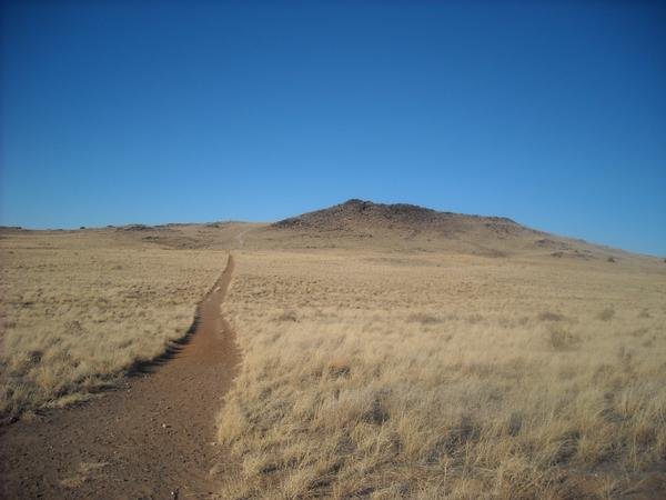 Black VolcanoSummit · ~1h 11m drivePhoto: User:michaelh2001, Public domain (via Wikimedia Commons)
- Bosque PeakSummit · ~21 min drive
- El Cerro De Los LunasSummit · ~42 min drive
- South Sandia PeakSummit · ~1h 3m drive
- J A VolcanoSummit · ~1h 11m drive
- CinderSummit · ~1h 12m drive
- Tecolote PeakSummit · ~1h 12m drive
- Capulin PeakSummit · ~1h 14m drive
- Butte VolcanoSummit · ~1h 15m drive
