Stanley Polich
- 1.4 mi
- round trip
- 43 ft
- climb
- 8,086 ft
- high point
- Out and back
- route
- May–Sep
- best months
Is Stanley Polich open right now?
Closure in the area
There's a closure order in Mount Taylor Ranger District. It doesn't name Stanley Polich, so check the source for the area it covers.
Fort Wingate Closure Order for U.S. Army Missile Test Launch
Agency closure covering Mount Taylor Ranger District · Order 03-03-02-26-22 · USFS · Mount Taylor Ranger District
As of · Source: USFS · Mount Taylor Ranger District. Agencies don't list every closure — check before you go.
Stanley Polich is an easy out-and-back hike in the Mount Taylor Ranger District of Cibola National Forest in New Mexico, about 1.4 miles long with a total elevation gain of 43 feet. The trail runs on natural surface, and bikes are allowed. The route starts and ends around 8,000 feet, with the high point at 8,086 feet and the low point at 8,032 feet. That makes it a short walk with almost no climb, perfect for a quick outing or a break on the way to other trails in the district. Spring and fall are the most comfortable times to go. Typical averages from a nearby weather station at McGaffey run from highs around 70°F in May to 67°F in October, while July and August average highs in the low 80s and bring more wet days. Several other hikes sit within a couple of miles, including Broken Nose at 0.6 miles and Plush at 0.9 miles. Lost Lake Rim is 1.3 miles away, and McGaffey Campground is 2 miles off for anyone planning an overnight stay.
Local outfitters
- El Morro RV Park & Cabins26 mi away
Not on Roamze yet. Their page has how to reach them.
- Broken NoseHiking0.6 mi
- PlushHiking0.9 mi
- Lost Lake RimHiking1.3 mi
- McGaffey CampgroundCamping2 mi
- Smokin HandlebarHiking2.1 mi
- Strawberry CanyonHiking2.2 mi
- QuasimodoHiking2.2 mi
- TorreonHiking2.2 mi
Source: Roamze catalog (indexable pages within 10 miles, PostGIS distance)
 Pyramid Rock TrailHiking · ~21 min drivePhoto: dconvertini, CC BY-SA 2.0 (via Flickr)
- PlushHiking · ~2 min drive
- Smokin HandlebarHiking · ~4 min drive
 Church Rock LoopHiking · ~22 min drivePhoto: kalestews, CC BY 2.0 (via Flickr)
- Lost Lake RimHiking · ~2 min drive
- Strawberry CanyonHiking · ~4 min drive
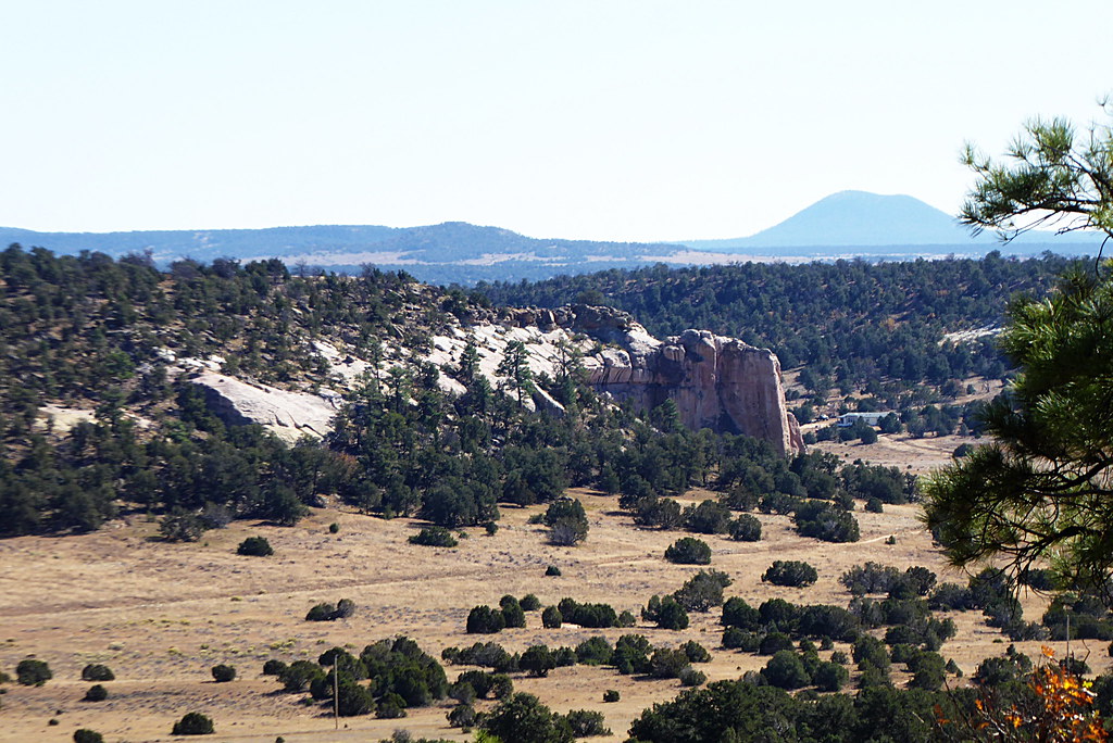 Inscription Rock Trail LoopHiking · ~44 min drivePhoto: volkerschmidt2, Public Domain Dedication (CC0) (via Flickr)
- Tampico SpringsHiking · ~4 min drive
- TorreonHiking · ~4 min drive
- Mesa Top Trail LoopHiking · ~44 min drivePhoto: volkerschmidt2, Public Domain Dedication (CC0) (via Flickr)
Best time to visit Stanley Polich
Best months: May–September. Best months have typical highs of 55–85 °F, lows of 30 °F or warmer (32 °F where the station doesn't record snow), at most one snowy day and no more than 12 wet days.
Jan
44° / 12°
5 wet
Feb
46° / 15°
5 wet
Mar
53° / 22°
5 wet
Apr
60° / 27°
4 wet
May
70° / 34°
3 wet
Jun
82° / 42°
3 wet
Jul
84° / 49°
8 wet
Aug
81° / 48°
9 wet
Sep
77° / 42°
6 wet
Oct
67° / 30°
4 wet
Nov
54° / 20°
4 wet
Dec
44° / 12°
4 wet
Typical high / low (°F) and days with rain or snow, 1991–2020. Measured at Mcgaffey 5 Se, NM, 6.9 mi away at 8,000 ft. This station doesn't record snowfall. Source: NOAA NCEI U.S. Climate Normals 1991–2020.
