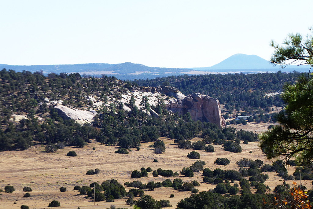
The Falls
- 7,312 ft
- elevation
- May–Jul, Sep
- best months
Is The Falls open right now?
Closure in the area
There's a closure order in Mount Taylor Ranger District. It doesn't name The Falls, so check the source for the area it covers.
Fort Wingate Closure Order for U.S. Army Missile Test Launch
Agency closure covering Mount Taylor Ranger District · Order 03-03-02-26-22 · USFS · Mount Taylor Ranger District
As of · Source: USFS · Mount Taylor Ranger District. Agencies don't list every closure — check before you go.
The Falls is a waterfall in the Mount Taylor Ranger District of Cibola National Forest in New Mexico, about 2 miles from the town of Timberlake. It sits at roughly 7,300 feet. Late spring and early fall are the most comfortable times to visit. Typical averages from a nearby weather station at El Morro run to highs around 72°F in May and 77°F in September, with July and August the wettest months, averaging about 12 to 13 wet days each. Winters are cold, with January highs near 44°F and lows around 14°F. The nearest listed destination is the two track trail, about 7.5 miles away.
- Elevation
- 7,312 ft
Elevation from USGS 3D Elevation Program terrain data (about 10 m resolution).
Source: Roamze catalog (indexable pages within 10 miles, PostGIS distance)
Best time to visit The Falls
Best months: May–July and September. Best months have typical highs of 55–85 °F, lows of 30 °F or warmer (32 °F where the station doesn't record snow), at most one snowy day and no more than 12 wet days.
Jan
44° / 14°
6 wet
Feb
47° / 19°
6 wet
Mar
55° / 23°
6 wet
Apr
64° / 27°
4 wet
May
72° / 34°
4 wet
Jun
83° / 43°
5 wet
Jul
85° / 51°
12 wet
Aug
82° / 50°
13 wet
Sep
77° / 43°
8 wet
Oct
66° / 31°
5 wet
Nov
54° / 21°
5 wet
Dec
44° / 14°
6 wet
Typical high / low (°F) and days with rain or snow, 1991–2020. Measured at El Morro Natl Mon, NM, 12.9 mi away at 7,223 ft. This station doesn't record snowfall. Source: NOAA NCEI U.S. Climate Normals 1991–2020.