Plush
- 5.1 mi
- round trip
- 453 ft
- climb
- 8,270 ft
- high point
- Out and back
- route
- May–Sep
- best months
Is Plush open right now?
No closures listed
The Forest Service lists no closures for Cibola National Forest.
As of · Source: USFS · Cibola National Forest. Agencies don't list every closure — check before you go.
Plush is a hard hike of about 5 miles on a natural-surfaced trail in the Mount Taylor Ranger District of Cibola National Forest in New Mexico. It is a short out-and-back, with a low point of 7,903 feet and a high of 8,270 feet. The Forest Service manages the land, and the route is open year-round. Bikes are allowed on the trail, which is suited to riders as well as hikers. Spring and fall are the most comfortable times to go. Typical averages from a nearby weather station at about 8,000 feet show May highs around 70°F and October highs around 67°F, while July and August average in the low 80s. Several other hikes lie within about a mile and a half, including Stanley Polich, Broken Nose and Lost Lake Rim. For an overnight stay, McGaffey Campground is about 3 miles away.
Local outfitters
- El Morro RV Park & Cabins27 mi away
Not on Roamze yet. Their page has how to reach them.
Best time to go · May–Sep
Best time to visit Plush
Best months: May–September. Best months have typical highs of 55–85 °F, lows of 30 °F or warmer (32 °F where the station doesn't record snow), at most one snowy day and no more than 12 wet days.
Jan
44° / 12°
5 wet
Feb
46° / 15°
5 wet
Mar
53° / 22°
5 wet
Apr
60° / 27°
4 wet
May
70° / 34°
3 wet
Jun
82° / 42°
3 wet
Jul
84° / 49°
8 wet
Aug
81° / 48°
9 wet
Sep
77° / 42°
6 wet
Oct
67° / 30°
4 wet
Nov
54° / 20°
4 wet
Dec
44° / 12°
4 wet
Typical high / low (°F) and days with rain or snow, 1991–2020. Measured at Mcgaffey 5 Se, NM, 7.6 mi away at 8,000 ft. This station doesn't record snowfall. Source: NOAA NCEI U.S. Climate Normals 1991–2020.
Keep exploring — more trails worth the drive
 Photo: dconvertini, CC BY-SA 2.0 (via Flickr)
Pyramid Rock Trail
~21 min drive
3.44-mile out-and-back hike in New Mexico with 966 ft of elevation gain
HIKE
Lost Lake Rim
~2 min drive
11.36-mile out-and-back trail at Lost Lake Rim in New Mexico
HIKE
Smokin Handlebar
~3 min drive
3.98-mile out-and-back trail in New Mexico with 94 ft of elevation gain.
 Photo: kalestews, CC BY 2.0 (via Flickr)
Church Rock Loop
~22 min drive
0.80-mile loop with 156 ft elevation gain in New Mexico
HIKE
Quasimodo
~3 min drive
7.15-mile out-and-back trail in New Mexico with 362 ft gain.
HIKE
Strawberry Canyon
~5 min drive
4.31-mile out-and-back trail in Strawberry Canyon, New Mexico with 613 ft gain.
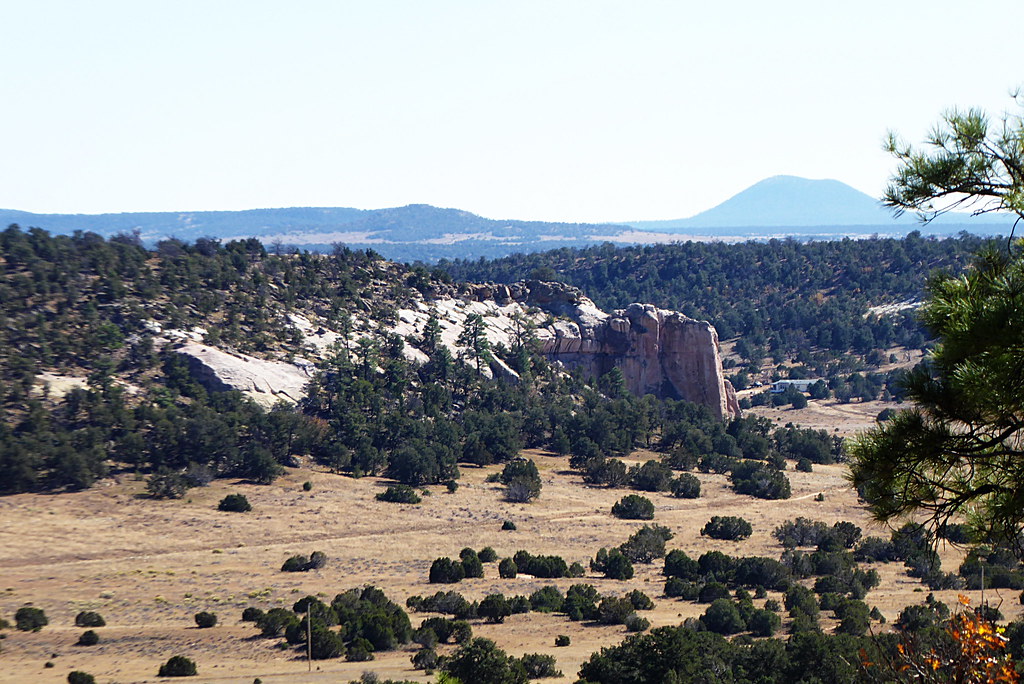 Photo: volkerschmidt2, Public Domain Dedication (CC0) (via Flickr)
Inscription Rock Trail Loop
~45 min drive
1.22-mile out-and-back trail in New Mexico with 107 ft elevation gain.
HIKE
Tampico Springs
~6 min drive
7.78-mile out-and-back trail with 510 ft elevation gain in New Mexico.
HIKE
Torreon
~5 min drive
4.26-mile out-and-back trail in New Mexico with 352 ft gain.
Photo: volkerschmidt2, Public Domain Dedication (CC0) (via Flickr)Mesa Top Trail Loop
~45 min drive
2.98-mile out-and-back trail in New Mexico with 367 ft elevation gain.
