Elephant Rock
Campground
Campground · 0.4 mi from the trail
Alert in the area
The Forest Service lists 3 alerts for Carson National Forest.
High-Elevation Snow Conditions
Agency alert covering Carson National Forest · USFS · Carson National Forest
Current Prescribed Fire Activity and Plans
Agency alert covering Carson National Forest · USFS · Carson National Forest
Current Fire Restrictions and Related Prohibitions
Agency alert covering Carson National Forest · USFS · Carson National Forest
As of · Source: USFS · Carson National Forest. Agencies don't list every closure — check before you go.
Questa Trail is a moderate hike in the Questa Ranger District of Carson National Forest in northern New Mexico, managed by the Forest Service. The trail is about 2.3 miles long and rises roughly 1,300 feet from its starting point at 8,375 feet to a high of 9,139 feet. The full out-and-back route is about 4.6 miles, with a total climb of about 2,335 feet. Summer is the most comfortable time to go. Typical averages from a nearby weather station at Red River show July highs around 75°F with lows near 42°F, while winter highs stay in the mid-30s. The trail sits close to several other destinations. Lower Elephant Rock Trail starts just 0.1 mile away, and Elephant Rock Trail is about 0.3 mile off. Elephant Rock campground is 0.4 mile away, and Fawn Lakes campground is 0.7 mile away.
Elephant Rock
Campground
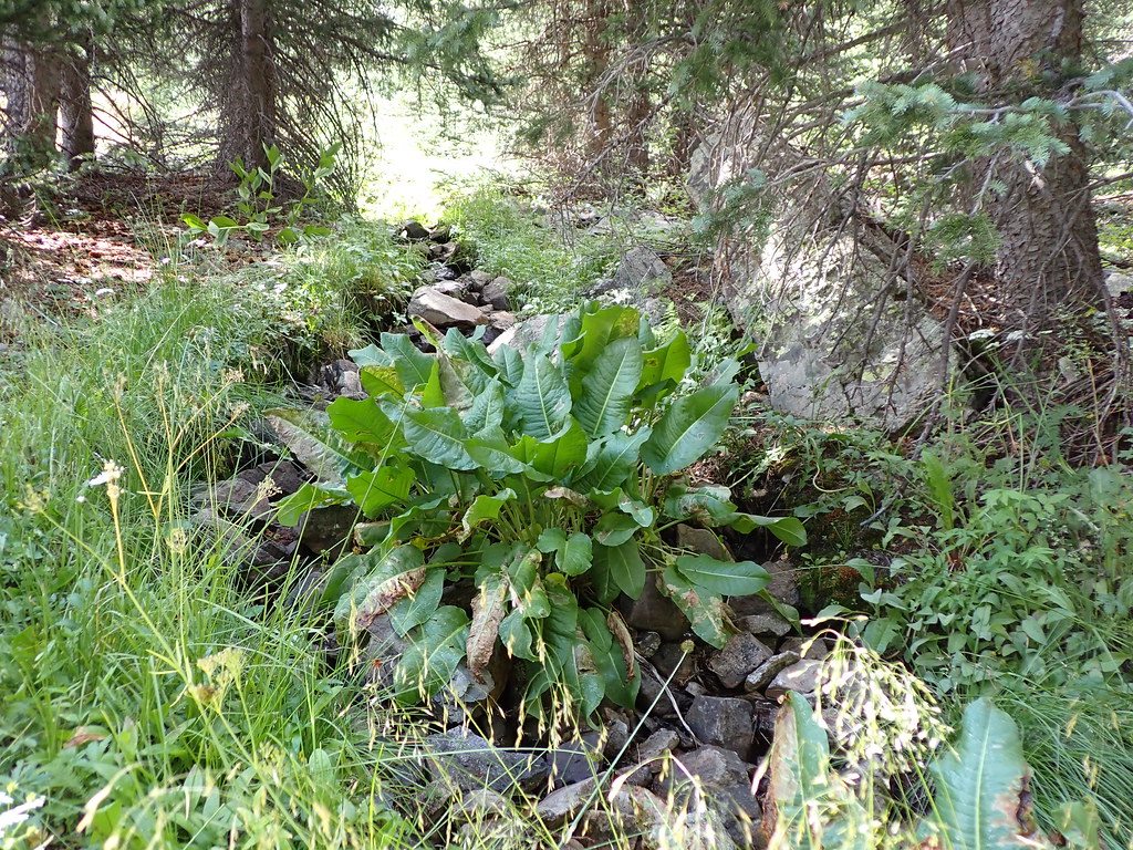
 If it rainsKhlnmusa, CC BY-SA 3.0 · Wikimedia Commons
Places © OpenStreetMap contributors · Photos: Khlnmusa, CC BY-SA 3.0 (commons)
More in Arroyo SecoNot on Roamze yet. Their page has how to reach them.
 Red RiverCanoeingPhoto: Billy Hathorn at en.wikipedia, CC BY-SA 3.0 (via Wikimedia Commons)3.1 mi
Source: Roamze catalog (indexable pages within 10 miles, PostGIS distance)
 Lake ForkHiking · ~9 min drivePhoto: Matt Lavin, CC BY-SA 2.0 (via Flickr)
 MidnightHiking · ~10 min drivePhoto: Matt Lavin, CC BY-SA 2.0 (via Flickr)
 Wheeler Peak Trail #90Hiking · ~11 min drivePhoto: Fredlyfish4, CC BY-SA 4.0 (via Wikimedia Commons)Heart LakeHiking · ~10 min drivePhoto: Matt Lavin, CC BY-SA 2.0 (via Flickr)Bull CreekHiking · ~10 min drivePhoto: Matt Lavin, CC BY-SA 2.0 (via Flickr)
 Gold Hill Trail #64Hiking · ~11 min drivePhoto: uıɐɾ ʞ ʇɐɯɐs, CC BY-SA 2.0 (via Flickr)LAKE FORKHiking · ~10 min drivePhoto: Matt Lavin, CC BY-SA 2.0 (via Flickr)
Best months: June and September. Best months have typical highs of 55–85 °F, lows of 30 °F or warmer (32 °F where the station doesn't record snow), at most one snowy day and no more than 12 wet days.
Jan
35° / 7°
7 wet
Feb
37° / 9°
8 wet
Mar
45° / 16°
10 wet
Apr
52° / 23°
9 wet
May
62° / 30°
9 wet
Jun
72° / 36°
10 wet
Jul
75° / 42°
15 wet
Aug
72° / 40°
16 wet
Sep
68° / 34°
10 wet
Oct
56° / 25°
7 wet
Nov
44° / 16°
7 wet
Dec
35° / 8°
7 wet
Typical high / low (°F) and days with rain or snow, 1991–2020. Measured at Red River, NM, 2.6 mi away at 8,667 ft. This station doesn't record snowfall. Source: NOAA NCEI U.S. Climate Normals 1991–2020.
Map and trail data © OpenStreetMap contributors
