Elephant Rock
Campground
Campground · 0.5 mi from the trail
Alert in the area
The Forest Service lists 3 alerts for Carson National Forest.
High-Elevation Snow Conditions
Agency alert covering Carson National Forest · USFS · Carson National Forest
Current Prescribed Fire Activity and Plans
Agency alert covering Carson National Forest · USFS · Carson National Forest
Current Fire Restrictions and Related Prohibitions
Agency alert covering Carson National Forest · USFS · Carson National Forest
As of · Source: USFS · Carson National Forest. Agencies don't list every closure — check before you go.
Elephant Rock Trail is an expert-level hike in the Questa Ranger District of Carson National Forest in northern New Mexico, managed by the Forest Service. The trail is an out-and-back route of about 12 miles, with a total elevation gain of roughly 5,263 feet. The one-way climb is about 2,770 feet, and the steepest stretch comes at about 2.5 miles in, where the grade reaches 37%. The trail starts at an elevation of about 8,700 feet and climbs to a high point of about 10,500 feet. That makes it a serious day for anyone not used to high-country hiking. Several other destinations sit close by. The Questa Trail and Lower Elephant Rock Trail both start within a third of a mile. Elephant Rock campground is about half a mile away, and Fawn Lakes campground is under a mile off.
Elephant Rock
Campground
 If it rainsKhlnmusa, CC BY-SA 3.0 · Wikimedia Commons
Places © OpenStreetMap contributors · Photos: Khlnmusa, CC BY-SA 3.0 (commons)
More in Arroyo SecoNot on Roamze yet. Their page has how to reach them.
 Red RiverCanoeingPhoto: Billy Hathorn at en.wikipedia, CC BY-SA 3.0 (via Wikimedia Commons)3 mi
Source: Roamze catalog (indexable pages within 10 miles, PostGIS distance)
 Lake ForkHiking · ~9 min drivePhoto: Matt Lavin, CC BY-SA 2.0 (via Flickr)
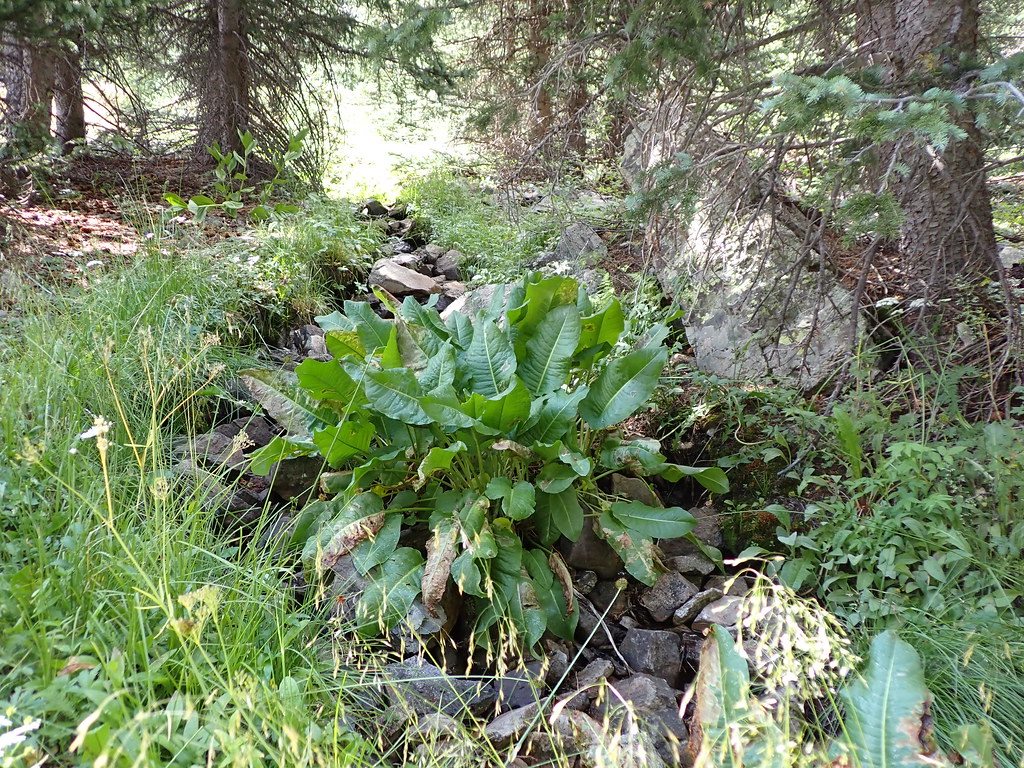 MidnightHiking · ~9 min drivePhoto: Matt Lavin, CC BY-SA 2.0 (via Flickr)
 Wheeler Peak Trail #90Hiking · ~12 min drivePhoto: Fredlyfish4, CC BY-SA 4.0 (via Wikimedia Commons)LAKE FORKHiking · ~10 min drivePhoto: Matt Lavin, CC BY-SA 2.0 (via Flickr)Bull CreekHiking · ~10 min drivePhoto: Matt Lavin, CC BY-SA 2.0 (via Flickr)
 Gold Hill Trail #64Hiking · ~12 min drivePhoto: uıɐɾ ʞ ʇɐɯɐs, CC BY-SA 2.0 (via Flickr)Heart LakeHiking · ~9 min drivePhoto: Matt Lavin, CC BY-SA 2.0 (via Flickr)
Map and trail data © OpenStreetMap contributors
